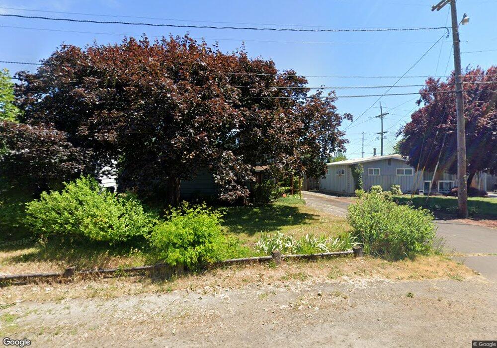
3135 Pheasant Blvd Springfield, OR 97477
Gateway NeighborhoodEstimated Value: $404,000 - $460,000
5
Beds
2
Baths
1,396
Sq Ft
$301/Sq Ft
Est. Value
About This Home
This home is located at 3135 Pheasant Blvd, Springfield, OR 97477 and is currently estimated at $420,462, approximately $301 per square foot. 3135 Pheasant Blvd is a home located in Lane County with nearby schools including Holt Elementary School, Monroe Middle School, and Sheldon High School.
Ownership History
Date
Name
Owned For
Owner Type
Purchase Details
Closed on
Nov 19, 2007
Sold by
Baird Jack W and Baird Neva Jean
Bought by
Baird Neva Jean and Baird Jack W
Current Estimated Value
Home Financials for this Owner
Home Financials are based on the most recent Mortgage that was taken out on this home.
Original Mortgage
$330,000
Outstanding Balance
$189,297
Interest Rate
4.72%
Mortgage Type
Reverse Mortgage Home Equity Conversion Mortgage
Estimated Equity
$231,165
Purchase Details
Closed on
Apr 24, 2002
Sold by
Baird Jack W
Bought by
Baird Jack W and Baird Neva Jean
Home Financials for this Owner
Home Financials are based on the most recent Mortgage that was taken out on this home.
Original Mortgage
$107,997
Interest Rate
7.08%
Create a Home Valuation Report for This Property
The Home Valuation Report is an in-depth analysis detailing your home's value as well as a comparison with similar homes in the area
Home Values in the Area
Average Home Value in this Area
Purchase History
| Date | Buyer | Sale Price | Title Company |
|---|---|---|---|
| Baird Neva Jean | -- | Evergreen Land Title Co | |
| Baird Jack W | -- | Western Pioneer Title Co | |
| Baird Jack W | -- | Western Pioneer Title Co |
Source: Public Records
Mortgage History
| Date | Status | Borrower | Loan Amount |
|---|---|---|---|
| Open | Baird Neva Jean | $330,000 | |
| Closed | Baird Jack W | $107,997 |
Source: Public Records
Tax History
| Year | Tax Paid | Tax Assessment Tax Assessment Total Assessment is a certain percentage of the fair market value that is determined by local assessors to be the total taxable value of land and additions on the property. | Land | Improvement |
|---|---|---|---|---|
| 2025 | $2,775 | $194,050 | -- | -- |
| 2024 | $2,748 | $188,399 | -- | -- |
| 2023 | $2,748 | $182,912 | $0 | $0 |
| 2022 | $2,585 | $177,585 | $0 | $0 |
| 2021 | $2,411 | $172,413 | $0 | $0 |
| 2020 | $2,432 | $167,392 | $0 | $0 |
| 2019 | $2,350 | $162,517 | $0 | $0 |
| 2018 | $2,158 | $153,188 | $0 | $0 |
| 2017 | $2,009 | $153,188 | $0 | $0 |
| 2016 | $2,198 | $148,726 | $0 | $0 |
| 2015 | $2,140 | $144,394 | $0 | $0 |
| 2014 | $2,027 | $140,188 | $0 | $0 |
Source: Public Records
Map
Nearby Homes
- 624 Tinamou Ln
- 520 Ethan Ct
- 472 Springdale Ave
- 2915 Game Farm Rd
- 3179 Wayside Loop
- 3530 E Game Farm Rd Unit 16
- 650 Harlow Rd Unit 209
- 2727 Gateway St Unit 27
- 40 Allen Ave
- 117 Allen Ave
- 76 Woodlane Dr
- 126 Woodlane Dr
- 2150 Laura (#57) St Unit 57
- 2150 Laura St Unit 119
- 2150 Laura St Unit 111
- 2150 Laura St Unit 39
- 2150 Laura St Unit 57
- 2150 Laura St Unit 83
- 2150 Laura St Unit 44
- 2150 Laura St Unit SP65
- 3143 Pheasant Blvd
- 3131 Pheasant Blvd
- 3151 Pheasant Blvd
- 3125 Pheasant Blvd
- 3157 Pheasant Blvd
- 3184 Raleighwood Ave
- 3140 Pheasant Blvd
- 3130 Game Farm Rd
- 3120 Pheasant Blvd
- 480 Mallard Ave
- 3192 Raleighwood Ave
- 3148 Pheasant Blvd
- 3150 Game Farm Rd
- 3165 Pheasant Blvd
- 3120 Game Farm Rd
- 460 Mallard Ave
- 3154 Pheasant Blvd
- 3170 Raleighwood Ave
- 3206 Raleighwood Ave
- 532 Mallard Ave
Your Personal Tour Guide
Ask me questions while you tour the home.