3136 W M 76 West Branch, MI 48661
Estimated Value: $140,474 - $203,000
--
Bed
--
Bath
--
Sq Ft
0.5
Acres
About This Home
This home is located at 3136 W M 76, West Branch, MI 48661 and is currently estimated at $164,119. 3136 W M 76 is a home located in Ogemaw County with nearby schools including Surline Elementary School, Surline Middle School, and Ogemaw Heights High School.
Ownership History
Date
Name
Owned For
Owner Type
Purchase Details
Closed on
Aug 27, 2012
Sold by
Sheltrown Helen A and Sheltrown Helen
Bought by
Sheltrown Van
Current Estimated Value
Purchase Details
Closed on
Aug 15, 2001
Bought by
Sheltrown Van L
Create a Home Valuation Report for This Property
The Home Valuation Report is an in-depth analysis detailing your home's value as well as a comparison with similar homes in the area
Home Values in the Area
Average Home Value in this Area
Purchase History
| Date | Buyer | Sale Price | Title Company |
|---|---|---|---|
| Sheltrown Van | -- | -- | |
| Sheltrown Van L | $74,000 | -- |
Source: Public Records
Tax History Compared to Growth
Tax History
| Year | Tax Paid | Tax Assessment Tax Assessment Total Assessment is a certain percentage of the fair market value that is determined by local assessors to be the total taxable value of land and additions on the property. | Land | Improvement |
|---|---|---|---|---|
| 2025 | $1,266 | $70,200 | $0 | $0 |
| 2024 | $6 | $68,400 | $0 | $0 |
| 2023 | $570 | $62,300 | $0 | $0 |
| 2022 | $1,166 | $55,200 | $0 | $0 |
| 2021 | $1,224 | $52,300 | $0 | $0 |
| 2020 | $1,253 | $48,400 | $0 | $0 |
| 2019 | $1,085 | $45,200 | $0 | $0 |
| 2018 | $1,372 | $44,200 | $0 | $0 |
| 2017 | $1,307 | $43,700 | $0 | $0 |
| 2016 | $1,313 | $45,200 | $0 | $0 |
| 2015 | $1,325 | $44,400 | $0 | $0 |
| 2014 | $387 | $41,000 | $0 | $0 |
Source: Public Records
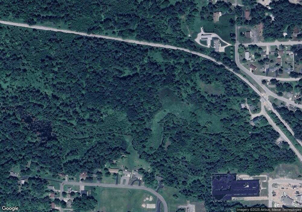
Map
Nearby Homes
- 0 W M-76 Unit 1925090
- 0 W M-76 Unit 1905107
- 206 Highland St
- 315 S 4th St
- 324 N 4th St
- 0 S First St Unit 1932836
- 227 N 1st St
- 240 N Burgess St
- 106 S Valley St
- 361 Irons Park Dr
- 195 Fremont St
- 272 Windemere Place Unit 14A
- 268 Windemere Place Unit 14B
- 0 Fairview Rd Unit 1939430
- Parcel 1 M-76
- Parcel 2 M-76
- 2301 Birchcrest Dr
- 2249 W State Rd
- 2190 Fox Run
- 2249 Fox Run