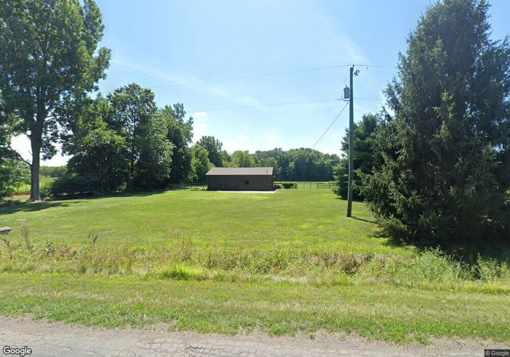
3136 W Wagner Rd Buchanan, MI 49107
Estimated Value: $463,000 - $716,950
2
Beds
1
Bath
3,000
Sq Ft
$197/Sq Ft
Est. Value
About This Home
This home is located at 3136 W Wagner Rd, Buchanan, MI 49107 and is currently estimated at $589,975, approximately $196 per square foot. 3136 W Wagner Rd is a home located in Berrien County with nearby schools including River Valley Middle/High School.
Ownership History
Date
Name
Owned For
Owner Type
Purchase Details
Closed on
Sep 5, 2017
Sold by
Workan Cynthia M and Evans Cynthia
Bought by
Workman William A and Workman Cynthia M
Current Estimated Value
Purchase Details
Closed on
Sep 24, 2003
Sold by
Mortgage Electronic Registration Systems
Bought by
Bank Of New York
Purchase Details
Closed on
Sep 5, 2002
Purchase Details
Closed on
May 28, 2002
Purchase Details
Closed on
Nov 25, 1998
Purchase Details
Closed on
Nov 13, 1995
Create a Home Valuation Report for This Property
The Home Valuation Report is an in-depth analysis detailing your home's value as well as a comparison with similar homes in the area
Purchase History
| Date | Buyer | Sale Price | Title Company |
|---|---|---|---|
| Workman William A | -- | None Available | |
| Bank Of New York | -- | -- | |
| -- | $187,800 | -- | |
| -- | $100 | -- | |
| -- | $60,000 | -- | |
| -- | $7,500 | -- |
Source: Public Records
Tax History
| Year | Tax Paid | Tax Assessment Tax Assessment Total Assessment is a certain percentage of the fair market value that is determined by local assessors to be the total taxable value of land and additions on the property. | Land | Improvement |
|---|---|---|---|---|
| 2025 | $2,803 | $326,900 | $0 | $0 |
| 2024 | $1,438 | $279,900 | $0 | $0 |
| 2023 | $1,370 | $259,900 | $0 | $0 |
| 2022 | $1,304 | $203,300 | $0 | $0 |
| 2021 | $2,399 | $180,600 | $13,600 | $167,000 |
| 2020 | $2,397 | $174,500 | $0 | $0 |
| 2019 | $2,299 | $135,800 | $15,100 | $120,700 |
| 2018 | $2,425 | $135,800 | $0 | $0 |
| 2017 | $2,398 | $131,800 | $0 | $0 |
| 2016 | $2,320 | $132,600 | $0 | $0 |
| 2015 | $2,313 | $139,600 | $0 | $0 |
| 2014 | $1,251 | $116,100 | $0 | $0 |
Source: Public Records
Map
Nearby Homes
- 210 W Wagner Rd
- 3334 W Glendora Rd
- 0 W Wagner Rd Unit 26000020
- 0 Warren Woods Rd Unit 14.71
- 4509 Hanover Rd
- 16244 Holden Rd Unit B-3
- 16204 Holden Rd Unit B-1
- 16222 Holden Rd Unit B-2
- 16258 Holden Rd Unit B-4
- 2362 Browntown Rd
- 1294 W Glendora Rd
- 11545 Landon Rd
- 5650 Lily Ln
- 0 Warren Woods Rd
- Lot 5 0 Railroad St
- Vl W Glendora Rd
- 14736 Flynn Rd
- 12843 S Wolcott Ave
- 5935 Sawyer Rd
- 12435 Sandpiper Ln
- 3028 W Wagner Rd
- 3262 W Wagner Rd
- 3193 W Wagner Rd
- 3211 W Wagner Rd
- 3243 W Wagner Rd
- 2881 W Wagner Rd
- 13698 S Pardee Rd
- 14021 Pardee Rd
- 3333 Wagner Rd
- 14006 Pardee Rd
- 2821 W Wagner Rd
- 13963 Pardee Rd
- 13963 Pardee Rd
- 13937 Pardee Rd
- 13893 Pardee Rd
- 14229 Pardee Rd
- 3375 Wagner Rd
- 13938 Pardee Rd
- 13761 Pardee Rd
- 13894 Pardee Rd
Your Personal Tour Guide
Ask me questions while you tour the home.