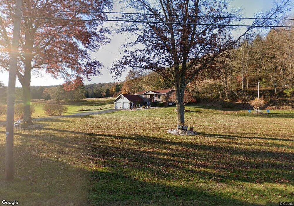
3137 State Route 487 Orangeville, PA 17859
Estimated Value: $184,000 - $444,000
--
Bed
--
Bath
2,198
Sq Ft
$137/Sq Ft
Est. Value
About This Home
This home is located at 3137 State Route 487, Orangeville, PA 17859 and is currently estimated at $302,172, approximately $137 per square foot. 3137 State Route 487 is a home located in Columbia County with nearby schools including Appleman Elementary School and Benton Area Middle School/High School.
Ownership History
Date
Name
Owned For
Owner Type
Purchase Details
Closed on
Sep 25, 2006
Sold by
Watts Jeffrey L and Watts Deborah J
Bought by
Elliott Gary D
Current Estimated Value
Home Financials for this Owner
Home Financials are based on the most recent Mortgage that was taken out on this home.
Original Mortgage
$148,500
Outstanding Balance
$88,564
Interest Rate
6.45%
Mortgage Type
Adjustable Rate Mortgage/ARM
Estimated Equity
$213,608
Create a Home Valuation Report for This Property
The Home Valuation Report is an in-depth analysis detailing your home's value as well as a comparison with similar homes in the area
Home Values in the Area
Average Home Value in this Area
Purchase History
| Date | Buyer | Sale Price | Title Company |
|---|---|---|---|
| Elliott Gary D | $165,000 | None Available |
Source: Public Records
Mortgage History
| Date | Status | Borrower | Loan Amount |
|---|---|---|---|
| Open | Elliott Gary D | $148,500 |
Source: Public Records
Tax History Compared to Growth
Tax History
| Year | Tax Paid | Tax Assessment Tax Assessment Total Assessment is a certain percentage of the fair market value that is determined by local assessors to be the total taxable value of land and additions on the property. | Land | Improvement |
|---|---|---|---|---|
| 2025 | $3,871 | $42,080 | $0 | $0 |
| 2024 | $3,679 | $42,080 | $5,965 | $36,115 |
| 2023 | $3,401 | $41,980 | $5,865 | $36,115 |
| 2022 | $3,244 | $41,980 | $5,865 | $36,115 |
| 2021 | $3,148 | $41,980 | $5,865 | $36,115 |
| 2020 | $3,008 | $41,740 | $5,865 | $35,875 |
| 2019 | $2,940 | $41,740 | $5,865 | $35,875 |
| 2018 | $2,869 | $41,740 | $5,865 | $35,875 |
| 2017 | $2,727 | $41,145 | $5,865 | $35,280 |
| 2016 | -- | $41,145 | $5,865 | $35,280 |
| 2015 | -- | $41,145 | $5,865 | $35,280 |
| 2014 | -- | $37,982 | $5,865 | $32,117 |
Source: Public Records
Map
Nearby Homes
- 2749C Pennsylvania 487
- 2807 Pennsylvania 487
- 6 Arc Rd
- 3560B Pennsylvania 487
- 153 Rohrsburg Rd
- 1087 Ridge Rd
- 129 Kinney Hill Rd
- 525 Rohrsburg Rd
- 740 Ridge Rd
- LOT 2 Mountain Rd
- LOT 3 Mountain Rd
- LOT 4 Mountain Rd
- LOT 5 Mountain Rd
- LOT 29 Carol Dr
- 253 Bendertown Rd
- LOT 1 Honeytown Rd
- 56 Whitmire Rd
- 1872 State Route 254
- 410 Main St
- 407 Main St
- 172 Hollow Rd
- 3118 State Route 487
- 3166 State Route 487
- 17 Zion Church Rd
- 16 Zion Church Rd
- 3114 State Route 487
- 19 Zion Church Rd
- 19B Zion Church Rd
- 11 Pealertown Rd
- 24 Pealertown Rd
- 3172 State Route 487
- 32 Zion Church Rd
- 188 Hollow Rd
- 19 Pealertown Rd
- 3085 State Route 487
- 32 Pealertown Rd
- 47 Pealertown Rd
- 55 Zion Church Rd
- 54 Pealertown Rd
- 52 Pealertown Rd