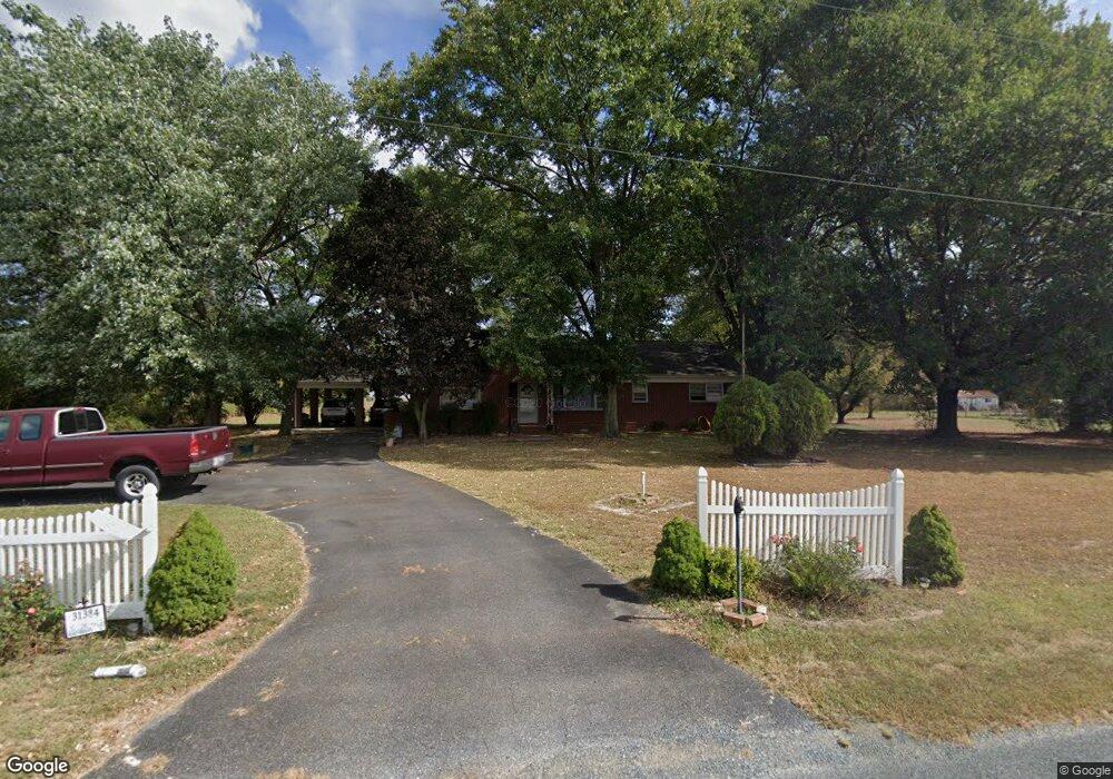
31384 Melson Rd Delmar, MD 21875
North Salisbury NeighborhoodEstimated Value: $268,182 - $308,000
Studio
2
Baths
1,638
Sq Ft
$174/Sq Ft
Est. Value
About This Home
This home is located at 31384 Melson Rd, Delmar, MD 21875 and is currently estimated at $285,296, approximately $174 per square foot. 31384 Melson Rd is a home located in Wicomico County with nearby schools including Delmar Elementary School, Wicomico Middle School, and Wicomico High School.
Ownership History
Date
Name
Owned For
Owner Type
Purchase Details
Closed on
Nov 7, 1990
Sold by
Nazali Joseph M and Nazali Haydee
Bought by
Thomas Paul A
Current Estimated Value
Home Financials for this Owner
Home Financials are based on the most recent Mortgage that was taken out on this home.
Original Mortgage
$97,850
Interest Rate
10.13%
Purchase Details
Closed on
May 4, 1979
Sold by
Tindall George F and Tindall Evelyn W
Bought by
Nazali Joseph M and Nazali Haydee
Create a Home Valuation Report for This Property
The Home Valuation Report is an in-depth analysis detailing your home's value as well as a comparison with similar homes in the area
Home Values in the Area
Average Home Value in this Area
Purchase History
| Date | Buyer | Sale Price | Title Company |
|---|---|---|---|
| Thomas Paul A | $103,000 | -- | |
| Nazali Joseph M | $54,000 | -- |
Source: Public Records
Mortgage History
| Date | Status | Borrower | Loan Amount |
|---|---|---|---|
| Closed | Thomas Paul A | $97,850 |
Source: Public Records
Tax History
| Year | Tax Paid | Tax Assessment Tax Assessment Total Assessment is a certain percentage of the fair market value that is determined by local assessors to be the total taxable value of land and additions on the property. | Land | Improvement |
|---|---|---|---|---|
| 2025 | $1,899 | $220,500 | $55,000 | $165,500 |
| 2024 | $1,887 | $203,767 | $0 | $0 |
| 2023 | $1,841 | $187,033 | $0 | $0 |
| 2022 | $1,795 | $170,300 | $45,000 | $125,300 |
| 2021 | $1,801 | $169,533 | $0 | $0 |
| 2020 | $1,801 | $168,767 | $0 | $0 |
| 2019 | $1,818 | $168,000 | $45,000 | $123,000 |
| 2018 | $1,687 | $154,700 | $0 | $0 |
| 2017 | $1,547 | $141,400 | $0 | $0 |
| 2016 | -- | $128,100 | $0 | $0 |
| 2015 | $1,250 | $128,100 | $0 | $0 |
| 2014 | $1,250 | $128,100 | $0 | $0 |
Source: Public Records
Map
Nearby Homes
- 31597 E Line Rd
- 9509 Rum Ridge Rd
- 9385, 9414 Stable Ln
- 38540 Winterberry Dr
- Spruce Plan at Stillwater Landing
- Birch Plan at Stillwater Landing
- Hazel Plan at Stillwater Landing
- Cedar Plan at Stillwater Landing
- 11858 Yellowwood Dr
- 9490 Song Sparrow Cir
- Lot 8A Song Sparrow Cir
- Lot 9A Song Sparrow Cir
- Lot 7A Mourning Dove Way
- Lot 6A Mourning Dove Way
- 9518 Royal Tern Dr
- 11735 Buckingham Dr
- 38391 Elizabeth Ln
- 11765 Buckingham Dr
- 11493 Ross Ln
- 128 Buckingham Dr
- 31388 Melson Rd
- 31380 Melson Rd
- 31392 Melson Rd
- 31365 E Line Rd
- 12609 Line Rd
- 31396 Melson Rd
- 12661 Line Rd
- 12671 Line Rd
- 12585 Line Rd
- 12567 Line Rd
- 31495 E Line Rd
- 31399 Melson Rd
- 12681 Line Rd
- 12691 Line Rd
- 31315 E Line Rd
- 0 Melson Rd
- 31403 Melson Rd
- 31407 Melson Rd
- 31476 Melson Rd
- 31476 Melson Rd
Your Personal Tour Guide
Ask me questions while you tour the home.