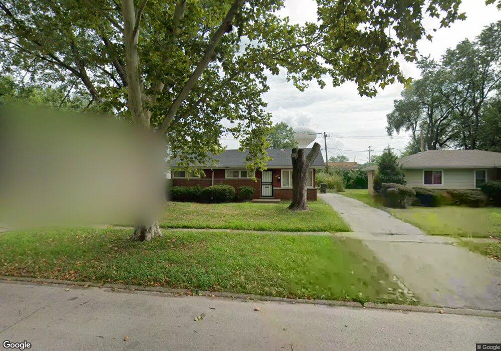
3139 Stafford Dr Markham, IL 60428
Estimated Value: $140,000 - $165,000
3
Beds
1
Bath
1,029
Sq Ft
$149/Sq Ft
Est. Value
About This Home
This home is located at 3139 Stafford Dr, Markham, IL 60428 and is currently estimated at $153,716, approximately $149 per square foot. 3139 Stafford Dr is a home located in Cook County with nearby schools including Markham Park Elementary School, Prairie-Hills Junior High School, and Tinley Park High School.
Ownership History
Date
Name
Owned For
Owner Type
Purchase Details
Closed on
Jul 8, 2003
Sold by
Federal Home Loan Mortgage Corporation
Bought by
Johnson Cody
Current Estimated Value
Home Financials for this Owner
Home Financials are based on the most recent Mortgage that was taken out on this home.
Original Mortgage
$47,400
Outstanding Balance
$23,506
Interest Rate
7.5%
Mortgage Type
Unknown
Estimated Equity
$130,210
Purchase Details
Closed on
Apr 16, 2003
Sold by
Harris James E
Bought by
Federal Home Loan Mortgage Corporation
Create a Home Valuation Report for This Property
The Home Valuation Report is an in-depth analysis detailing your home's value as well as a comparison with similar homes in the area
Home Values in the Area
Average Home Value in this Area
Purchase History
| Date | Buyer | Sale Price | Title Company |
|---|---|---|---|
| Johnson Cody | -- | -- | |
| Federal Home Loan Mortgage Corporation | -- | -- | |
| Federal Home Loan Mortgage Corporation | -- | -- |
Source: Public Records
Mortgage History
| Date | Status | Borrower | Loan Amount |
|---|---|---|---|
| Open | Johnson Cody | $47,400 |
Source: Public Records
Tax History Compared to Growth
Tax History
| Year | Tax Paid | Tax Assessment Tax Assessment Total Assessment is a certain percentage of the fair market value that is determined by local assessors to be the total taxable value of land and additions on the property. | Land | Improvement |
|---|---|---|---|---|
| 2024 | $5,778 | $10,000 | $1,620 | $8,380 |
| 2023 | $4,123 | $10,000 | $1,620 | $8,380 |
| 2022 | $4,123 | $5,048 | $1,440 | $3,608 |
| 2021 | $3,996 | $5,048 | $1,440 | $3,608 |
| 2020 | $3,904 | $5,048 | $1,440 | $3,608 |
| 2019 | $4,615 | $6,255 | $1,260 | $4,995 |
| 2018 | $4,465 | $6,255 | $1,260 | $4,995 |
| 2017 | $4,226 | $6,255 | $1,260 | $4,995 |
| 2016 | $3,781 | $5,530 | $1,080 | $4,450 |
| 2015 | $3,486 | $5,530 | $1,080 | $4,450 |
| 2014 | $3,492 | $5,530 | $1,080 | $4,450 |
| 2013 | $2,823 | $4,911 | $1,080 | $3,831 |
Source: Public Records
Map
Nearby Homes
- 3114 W 163rd St
- 3217 W 163rd St
- 3043 Sussex Ave
- 16219 Turner Ave
- 16104 Kedzie Ave
- 16230 Turner Ave
- 16107 Spaulding Ave
- 16303 Homan Ave
- 3140 Sherwood Ave
- 3048 Sherwood Ave
- 3025 Sherwood Ave
- 16445 Turner Ave
- 16404 Homan Ave
- 16218 Sussex Ct
- 16110 Homan Ave
- 16302 Trumbull Ave
- 3417 W 161st St
- 15943 Sawyer Ave
- 2956 Sherwood Ave
- 16101 Richmond Ave
- 3133 Stafford Dr
- 3145 Stafford Dr Unit 1
- 3127 Stafford Dr
- 3138 W 163rd St
- 3144 W 163rd St
- 3132 W 163rd St
- 16243 Kedzie Pkwy
- 16251 Kedzie Pkwy Unit 1
- 3126 W 163rd St
- 3121 Stafford Dr
- 3138 Stafford Dr
- 16259 Kedzie Pkwy
- 3132 Stafford Dr
- 3144 Stafford Dr
- 3120 W 163rd St
- 16229 Kedzie Pkwy
- 3126 Stafford Dr
- 3115 Stafford Dr
- 3120 Stafford Dr
- 16219 Kedzie Pkwy