31394 S Long Fir Ct Molalla, OR 97038
Estimated Value: $396,125 - $577,000
--
Bed
--
Bath
1,056
Sq Ft
$474/Sq Ft
Est. Value
About This Home
This home is located at 31394 S Long Fir Ct, Molalla, OR 97038 and is currently estimated at $501,031, approximately $474 per square foot. 31394 S Long Fir Ct is a home located in Clackamas County with nearby schools including Colton Elementary School, Colton Middle School, and Colton High School.
Ownership History
Date
Name
Owned For
Owner Type
Purchase Details
Closed on
Dec 15, 1995
Sold by
Va
Bought by
Panepento Philip C and Haber Susan L
Current Estimated Value
Home Financials for this Owner
Home Financials are based on the most recent Mortgage that was taken out on this home.
Original Mortgage
$77,000
Outstanding Balance
$1,591
Interest Rate
7.47%
Mortgage Type
Purchase Money Mortgage
Estimated Equity
$499,440
Purchase Details
Closed on
Dec 11, 1995
Sold by
Panepento Philip C and Haber Susan L
Bought by
Panepento Philip C and Haber Susan L
Home Financials for this Owner
Home Financials are based on the most recent Mortgage that was taken out on this home.
Original Mortgage
$77,000
Outstanding Balance
$1,591
Interest Rate
7.47%
Mortgage Type
Purchase Money Mortgage
Estimated Equity
$499,440
Create a Home Valuation Report for This Property
The Home Valuation Report is an in-depth analysis detailing your home's value as well as a comparison with similar homes in the area
Home Values in the Area
Average Home Value in this Area
Purchase History
| Date | Buyer | Sale Price | Title Company |
|---|---|---|---|
| Panepento Philip C | $48,250 | Transamerica Title Insurance | |
| Panepento Philip C | -- | Transamerica Title Insurance |
Source: Public Records
Mortgage History
| Date | Status | Borrower | Loan Amount |
|---|---|---|---|
| Open | Panepento Philip C | $77,000 |
Source: Public Records
Tax History Compared to Growth
Tax History
| Year | Tax Paid | Tax Assessment Tax Assessment Total Assessment is a certain percentage of the fair market value that is determined by local assessors to be the total taxable value of land and additions on the property. | Land | Improvement |
|---|---|---|---|---|
| 2024 | $2,246 | $176,126 | -- | -- |
| 2023 | $2,246 | $170,997 | $0 | $0 |
| 2022 | $2,113 | $166,017 | $0 | $0 |
| 2021 | $2,015 | $161,182 | $0 | $0 |
| 2020 | $1,962 | $156,488 | $0 | $0 |
| 2019 | $1,906 | $151,931 | $0 | $0 |
| 2018 | $1,863 | $147,506 | $0 | $0 |
| 2017 | $1,768 | $143,210 | $0 | $0 |
| 2016 | $1,708 | $139,039 | $0 | $0 |
| 2015 | $1,663 | $134,989 | $0 | $0 |
| 2014 | $1,513 | $131,057 | $0 | $0 |
Source: Public Records
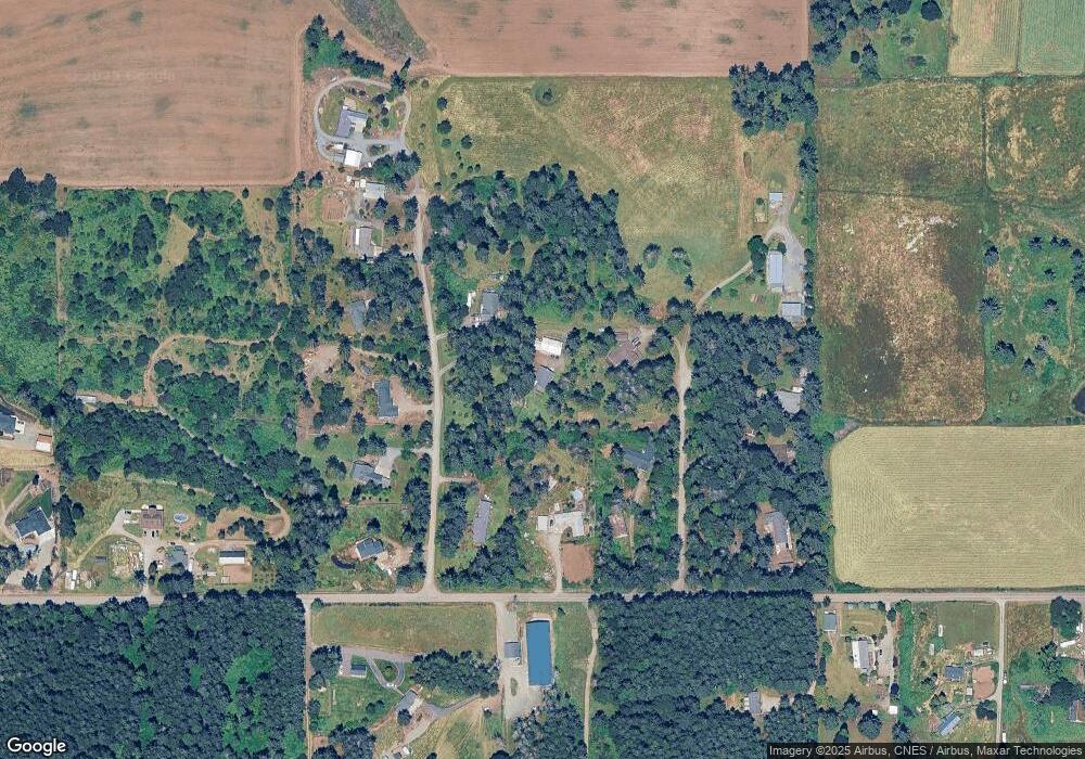
Map
Nearby Homes
- 18215 Oregon 211
- 30886 S Marian St
- 30850 S Marian St
- 17471 S Highway 211
- 19345 S Rockney Rd
- 32553 S Dhooghe Rd
- 19400 S Frank Rd
- 29555 S Beavercreek Rd
- 30725 S Wall St
- 33020 S Dickey Prairie Rd
- 18863 S Norry Ct
- 20427 S Highway 211
- 15706 S Highway 211
- 29882 S Hult Rd
- 15047 S MacKsburg Rd
- 15160 S Highway 211
- 28381 S Salo Rd
- 30806 S Grays Hill Rd
- 28272 S Hult Rd
- 704 Patrol St
- 31383 S Littlefir Dr
- 31370 S Long Fir Ct
- 31437 S Littlefir Dr
- 18377 S Munson Rd
- 31443 S Long Fir Ct
- 31345 S Long Fir Ct
- 31431 S Long Fir Ct
- 31325 S Long Fir Ct
- 31390 S Littlefir Dr
- 31434 S Littlefir Dr
- 31370 S Littlefir Dr
- 31475 S Long Fir Ct
- 31486 S Littlefir Dr
- 31300 S Long Fir Ct
- 0 S Henacres Dr
- 31550 S Henacres Dr
- 18490 S Munson Rd
- 18231 S Munson Rd
- 18520 S Munson Rd
- 0 S Munson Rd