31396 Red Top Rd Wilder, ID 83676
Estimated Value: $904,000 - $1,230,000
4
Beds
3
Baths
3,159
Sq Ft
$351/Sq Ft
Est. Value
About This Home
This home is located at 31396 Red Top Rd, Wilder, ID 83676 and is currently estimated at $1,107,542, approximately $350 per square foot. 31396 Red Top Rd is a home located in Canyon County with nearby schools including Maxine Johnson Elementary School, Parma Middle School, and Parma High School.
Ownership History
Date
Name
Owned For
Owner Type
Purchase Details
Closed on
Sep 17, 2020
Sold by
Marston Derek
Bought by
Marston Derek Charles and Marston Christina
Current Estimated Value
Home Financials for this Owner
Home Financials are based on the most recent Mortgage that was taken out on this home.
Original Mortgage
$407,000
Interest Rate
2.8%
Mortgage Type
New Conventional
Purchase Details
Closed on
Jun 27, 2005
Sold by
Marston Christian
Bought by
Marston Derek
Create a Home Valuation Report for This Property
The Home Valuation Report is an in-depth analysis detailing your home's value as well as a comparison with similar homes in the area
Home Values in the Area
Average Home Value in this Area
Purchase History
| Date | Buyer | Sale Price | Title Company |
|---|---|---|---|
| Marston Derek Charles | -- | Alliance Ttl Boise Productio | |
| Marston Derek | -- | Pioneer Title Co Of Ada Cnty |
Source: Public Records
Mortgage History
| Date | Status | Borrower | Loan Amount |
|---|---|---|---|
| Closed | Marston Derek Charles | $407,000 |
Source: Public Records
Tax History Compared to Growth
Tax History
| Year | Tax Paid | Tax Assessment Tax Assessment Total Assessment is a certain percentage of the fair market value that is determined by local assessors to be the total taxable value of land and additions on the property. | Land | Improvement |
|---|---|---|---|---|
| 2025 | $3,086 | $812,710 | $172,510 | $640,200 |
| 2024 | $3,086 | $805,190 | $173,890 | $631,300 |
| 2023 | $3,086 | $748,900 | $166,100 | $582,800 |
| 2022 | $4,081 | $787,870 | $175,470 | $612,400 |
| 2021 | $4,121 | $599,340 | $84,040 | $515,300 |
| 2020 | $3,347 | $400,920 | $63,120 | $337,800 |
| 2019 | $3,289 | $372,930 | $49,230 | $323,700 |
| 2018 | $2,874 | $0 | $0 | $0 |
| 2017 | $2,570 | $0 | $0 | $0 |
| 2016 | $2,239 | $0 | $0 | $0 |
| 2015 | $2,017 | $0 | $0 | $0 |
| 2014 | $1,941 | $215,450 | $33,150 | $182,300 |
Source: Public Records
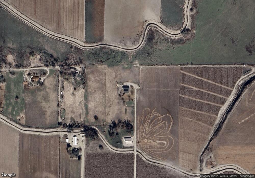
Map
Nearby Homes
- 31166 Menhart Lane (Private Drive)
- 21488 Case Ln
- 1964 River Rd
- 00 Peckham Rd
- 29339 Dixie Rd
- 20383 Riverpoint Ln
- 0 Riverpoint Ln
- 23743 Stephen Ln
- 1006 Hill Rd
- 28282 Fox Ln
- 0 Tbd Peckham Rd
- Rd
- TBD
- TBD Drum Lane Lot 5a
- TBD Drum Lane Lot 3a
- TBD
- TBD Clydesdale Lane Lot 6b
- Lot 1A Drum Ln
- 00 Lower Pleasant Ridge Rd
- 27774 Peckham Rd
- 31149 Red Top Rd
- 31301 Red Top Rd
- 31097 Red Top Rd
- 22470 State Line Rd
- 22300 Monte Rd
- 30895 Red Top Rd
- 28063 Stormy Ridge Ln
- 28035 Stormy Ridge Ln
- 22721 Monte Rd
- 31492 Red Top Rd
- 22725 Monte Rd
- 22460 State Line Rd
- 30826 Red Top Rd
- 22450 State Line Rd
- 30759 Red Top Rd
- 30765 Red Top Rd
- 30769 Red Top Rd
- 22440 State Line Rd
- 30749 Red Top Rd
- 22704 State Line Rd