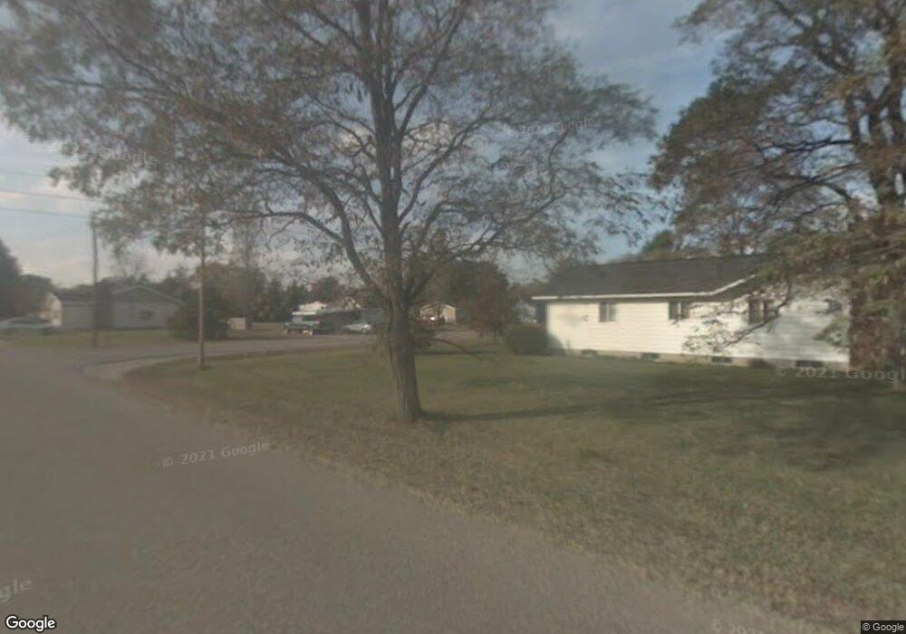
314 4th St N Oscoda, MI 48750
Estimated Value: $52,260 - $122,000
2
Beds
1
Bath
635
Sq Ft
$147/Sq Ft
Est. Value
About This Home
This home is located at 314 4th St N, Oscoda, MI 48750 and is currently estimated at $93,315, approximately $146 per square foot. 314 4th St N is a home located in Iosco County with nearby schools including Richardson Elementary School and Oscoda Area High School.
Ownership History
Date
Name
Owned For
Owner Type
Purchase Details
Closed on
Jun 9, 2025
Sold by
Perry Diane C
Bought by
Perry Diane C and Goetz Kara Perry
Current Estimated Value
Purchase Details
Closed on
Feb 24, 2022
Sold by
Hobart Carol M
Bought by
Perry Diane C
Purchase Details
Closed on
Sep 1, 2018
Sold by
Powroznik Sherry A and Zylia Sandra L
Bought by
Hobart Carol M and Hobart Eugene A
Purchase Details
Closed on
Oct 19, 2016
Sold by
Bodurka Robin and Boderka Robin
Bought by
Powroznik Sherry A and Zylla Sandra L
Create a Home Valuation Report for This Property
The Home Valuation Report is an in-depth analysis detailing your home's value as well as a comparison with similar homes in the area
Home Values in the Area
Average Home Value in this Area
Purchase History
| Date | Buyer | Sale Price | Title Company |
|---|---|---|---|
| Perry Diane C | -- | None Listed On Document | |
| Perry Diane C | $42,000 | None Listed On Document | |
| Hobart Carol M | -- | -- | |
| Powroznik Sherry A | -- | None Available |
Source: Public Records
Tax History
| Year | Tax Paid | Tax Assessment Tax Assessment Total Assessment is a certain percentage of the fair market value that is determined by local assessors to be the total taxable value of land and additions on the property. | Land | Improvement |
|---|---|---|---|---|
| 2025 | $222 | $20,800 | $20,800 | $0 |
| 2024 | $383 | $18,300 | $0 | $0 |
| 2023 | $185 | $14,600 | $14,600 | $0 |
| 2022 | $580 | $12,500 | $12,500 | $0 |
| 2021 | $436 | $11,100 | $11,100 | $0 |
| 2020 | $424 | $10,300 | $10,300 | $0 |
| 2019 | $418 | $9,800 | $9,800 | $0 |
| 2018 | $321 | $8,500 | $8,500 | $0 |
| 2017 | $299 | $7,300 | $7,300 | $0 |
| 2016 | $292 | $7,300 | $0 | $0 |
| 2015 | -- | $7,300 | $0 | $0 |
| 2014 | -- | $7,300 | $0 | $0 |
| 2013 | -- | $7,600 | $0 | $0 |
Source: Public Records
Map
Nearby Homes
- 134 Harbor St
- 805 Old U S 23
- 130 Smith St
- 909 Farnsworth St
- 891 S State St
- 411 Ottawa Dr
- #46 Vaughan Trail
- #48 Vaughan Trail
- #3 Vaughan Trail
- #20 Vaughan Trail
- VL Vaughan Trail
- #18 Vaughan Trail
- #1 Vaughan Trail
- #16 Vaughan Trail
- #13 Vaughan Trail
- #17 Vaughan Trail
- #47 Vaughan Trail
- #26 Appletree Trail
- #49 Appletree Trail
- #21 Meadow Ln
Your Personal Tour Guide
Ask me questions while you tour the home.