314 Brayton Point Rd Westport, MA 02790
Acoaxet NeighborhoodEstimated Value: $1,753,000 - $2,078,000
3
Beds
1
Bath
936
Sq Ft
$2,021/Sq Ft
Est. Value
About This Home
This home is located at 314 Brayton Point Rd, Westport, MA 02790 and is currently estimated at $1,891,683, approximately $2,021 per square foot. 314 Brayton Point Rd is a home located in Bristol County with nearby schools including Alice A. Macomber Primary School, Westport Elementary School, and Westport Middle-High School.
Ownership History
Date
Name
Owned For
Owner Type
Purchase Details
Closed on
Jan 22, 2015
Sold by
Mcbride Louis E
Bought by
Louis E Mcbride Jr Ret
Current Estimated Value
Create a Home Valuation Report for This Property
The Home Valuation Report is an in-depth analysis detailing your home's value as well as a comparison with similar homes in the area
Home Values in the Area
Average Home Value in this Area
Purchase History
| Date | Buyer | Sale Price | Title Company |
|---|---|---|---|
| Louis E Mcbride Jr Ret | -- | -- |
Source: Public Records
Tax History Compared to Growth
Tax History
| Year | Tax Paid | Tax Assessment Tax Assessment Total Assessment is a certain percentage of the fair market value that is determined by local assessors to be the total taxable value of land and additions on the property. | Land | Improvement |
|---|---|---|---|---|
| 2025 | $13,501 | $1,812,200 | $1,611,500 | $200,700 |
| 2024 | $13,071 | $1,691,000 | $1,493,000 | $198,000 |
| 2023 | $12,937 | $1,585,400 | $1,421,900 | $163,500 |
| 2022 | $12,339 | $1,560,700 | $1,421,900 | $138,800 |
| 2021 | $12,339 | $1,431,400 | $1,292,600 | $138,800 |
| 2020 | $11,511 | $1,365,500 | $1,240,900 | $124,600 |
| 2019 | $11,230 | $1,357,900 | $1,240,900 | $117,000 |
| 2018 | $11,525 | $1,410,600 | $1,324,200 | $86,400 |
| 2017 | $12,396 | $1,555,300 | $1,471,300 | $84,000 |
| 2016 | $13,042 | $1,648,800 | $1,569,400 | $79,400 |
| 2015 | $8,338 | $1,051,400 | $980,900 | $70,500 |
Source: Public Records
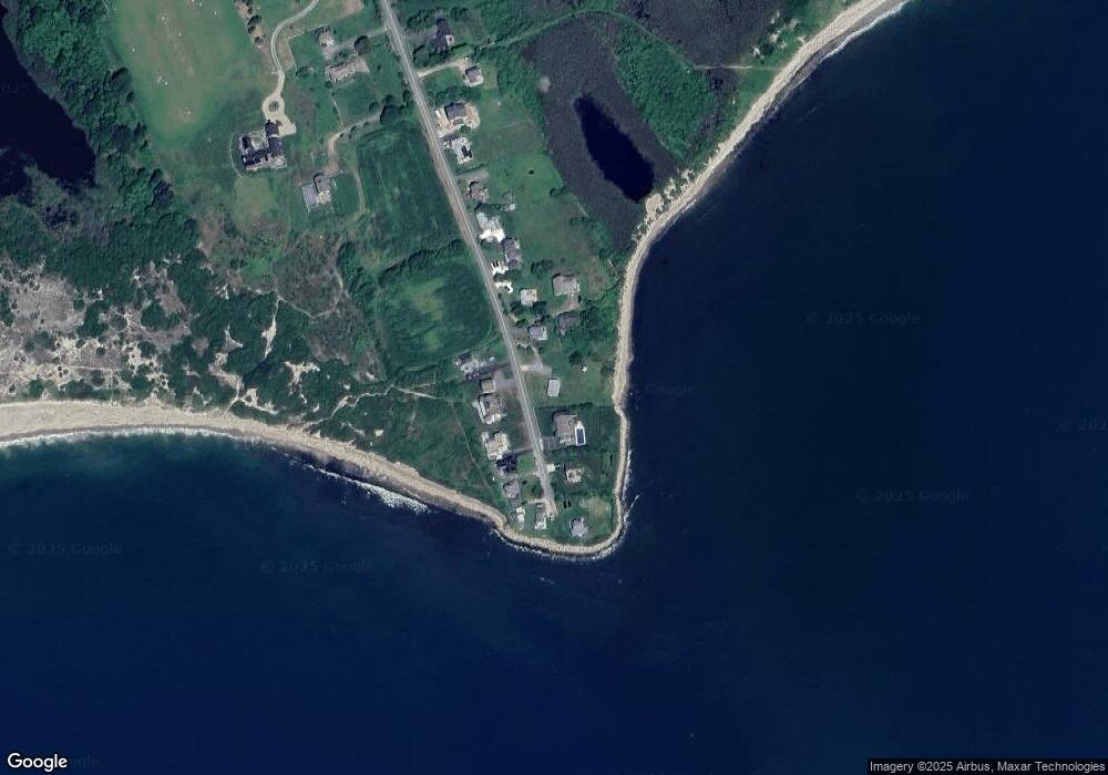
Map
Nearby Homes
- 304 Brayton Point Rd
- 189 Brayton Point Rd
- 18 Old Barn Rd
- 19 Seabury Ln
- 128 Maple Ave
- 255 John Dyer Rd
- 141 S Of Commons Rd
- 505 Long Hwy
- 1881 Main Rd
- 0 Reed Rd (Ss)
- 245 John Dyer Rd
- 1749 Main Rd
- 0 Willow Ave
- 1580 Main Rd
- 576 W Main Rd
- 536 W Main Rd
- 1702J Drift Rd
- 1702 Drift Rd
- 8 Taylors Ln
- 116 Amy Hart Path
- 318 Brayton Point Rd
- 306 Brayton Point Rd
- 317 Brayton Point Rd
- 321 Brayton Point Rd
- 311 Brayton Point Rd
- 324 Brayton Point Rd
- 325 Brayton Point Rd
- 300 Brayton Point Rd
- 327 Brayton Point Rd
- 302 Brayton Point Rd Unit WINTER
- 302 Brayton Point Rd
- 331 Brayton Point Rd
- 329 Brayton Point Rd
- 298 Brayton Point Rd
- 332 Brayton Point Rd
- 292 Brayton Point Rd
- 288 Brayton Point Rd
- 284 Brayton Point Rd
- 278 Brayton Point Rd
- 272 Brayton Point Rd