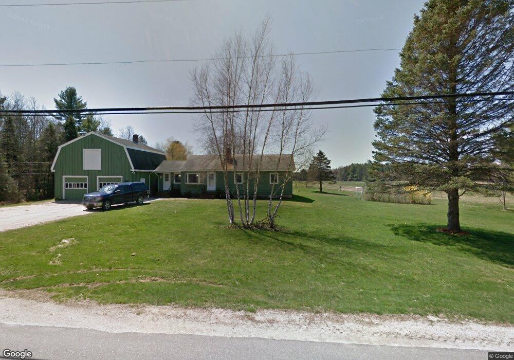
314 Brown Rd Pownal, ME 04069
Estimated Value: $520,000 - $797,000
--
Bed
--
Bath
2,015
Sq Ft
$330/Sq Ft
Est. Value
About This Home
This home is located at 314 Brown Rd, Pownal, ME 04069 and is currently estimated at $664,650, approximately $329 per square foot. 314 Brown Rd is a home with nearby schools including Freeport High School.
Ownership History
Date
Name
Owned For
Owner Type
Purchase Details
Closed on
Jul 24, 2013
Sold by
Deming Jonathan D
Bought by
Deming Ian D and Deming Linda
Current Estimated Value
Purchase Details
Closed on
Jan 4, 2013
Sold by
Deming Ian D and Deming Ian
Bought by
Deming Jonathan D
Create a Home Valuation Report for This Property
The Home Valuation Report is an in-depth analysis detailing your home's value as well as a comparison with similar homes in the area
Home Values in the Area
Average Home Value in this Area
Purchase History
| Date | Buyer | Sale Price | Title Company |
|---|---|---|---|
| Deming Ian D | -- | -- | |
| Deming Jonathan D | -- | -- |
Source: Public Records
Tax History Compared to Growth
Tax History
| Year | Tax Paid | Tax Assessment Tax Assessment Total Assessment is a certain percentage of the fair market value that is determined by local assessors to be the total taxable value of land and additions on the property. | Land | Improvement |
|---|---|---|---|---|
| 2024 | $7,378 | $434,000 | $145,100 | $288,900 |
| 2023 | $6,818 | $361,700 | $120,900 | $240,800 |
| 2022 | $6,511 | $361,700 | $120,900 | $240,800 |
| 2021 | $6,511 | $361,700 | $120,900 | $240,800 |
| 2020 | $6,511 | $361,700 | $120,900 | $240,800 |
| 2019 | $6,723 | $367,400 | $126,600 | $240,800 |
| 2018 | $5,788 | $367,400 | $126,600 | $240,800 |
| 2017 | $1,810 | $367,400 | $126,600 | $240,800 |
| 2016 | $6,062 | $367,400 | $126,600 | $240,800 |
| 2015 | $4,614 | $136,700 | $31,700 | $105,000 |
| 2014 | $4,716 | $136,700 | $31,700 | $105,000 |
| 2013 | $4,750 | $136,700 | $31,700 | $105,000 |
Source: Public Records
Map
Nearby Homes
- 137 Durham Rd
- 4 Harper's Trail
- 12 Peter Robin Way
- 32 Grant Rd
- 850 Lawrence Rd
- 143 Bragdon Rd
- 42A Wardtown Rd
- 99 Rangdale Rd
- 8 Statler Ln
- 006-114 Old Brunswick Rd
- 162 Merrill Rd
- 304 Pownal Rd
- 206 Davis Rd
- 238 Hallowell Rd
- 890 Elmwood Rd
- 16 Harlie Woods Rd
- 42 Durham Rd
- 1595 U S Route 1
- 284 Allen Rd
- 10 Durham Rd
- 333 Poland Range Rd
- 302 Brown Rd
- 309 Brown Rd
- Lot 2C Saint Theresa's Dr
- Lot 2C St Theresa Dr
- 351 Brown Rd
- 365 Brown Rd
- 2.10 St Theresa Dr
- 313 Brown Rd
- 4 St Theresa Dr
- 20 St Theresa Dr
- 34 St Theresa Dr
- 335 Brown Rd
- 362 Brown Rd
- 44 St Theresa Dr
- 368 Brown Rd
- 48 St Theresa Dr
- 291 Brown Rd
- 0 Saint Theresa Dr