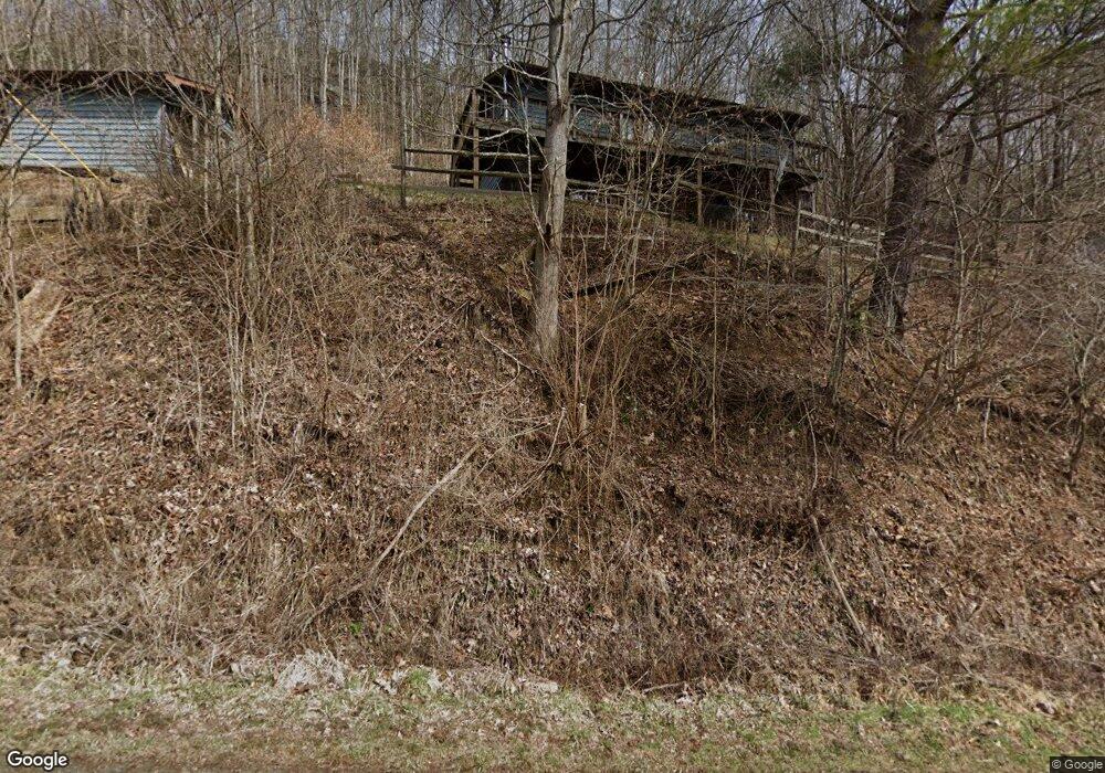
314 Isaacs Branch Rd Sugar Grove, NC 28679
Estimated Value: $380,561 - $463,000
4
Beds
2
Baths
1,728
Sq Ft
$242/Sq Ft
Est. Value
About This Home
This home is located at 314 Isaacs Branch Rd, Sugar Grove, NC 28679 and is currently estimated at $418,140, approximately $241 per square foot. 314 Isaacs Branch Rd is a home located in Watauga County with nearby schools including Cove Creek Elementary School and Watauga High School.
Ownership History
Date
Name
Owned For
Owner Type
Purchase Details
Closed on
May 15, 2009
Sold by
Cole Ronald E and Mamlin Nancy L
Bought by
Combs Lewis Randall and Combs Valerie R
Current Estimated Value
Home Financials for this Owner
Home Financials are based on the most recent Mortgage that was taken out on this home.
Original Mortgage
$180,000
Outstanding Balance
$113,360
Interest Rate
4.79%
Mortgage Type
New Conventional
Estimated Equity
$304,780
Create a Home Valuation Report for This Property
The Home Valuation Report is an in-depth analysis detailing your home's value as well as a comparison with similar homes in the area
Home Values in the Area
Average Home Value in this Area
Purchase History
| Date | Buyer | Sale Price | Title Company |
|---|---|---|---|
| Combs Lewis Randall | $180,000 | -- |
Source: Public Records
Mortgage History
| Date | Status | Borrower | Loan Amount |
|---|---|---|---|
| Open | Combs Lewis Randall | $180,000 |
Source: Public Records
Tax History Compared to Growth
Tax History
| Year | Tax Paid | Tax Assessment Tax Assessment Total Assessment is a certain percentage of the fair market value that is determined by local assessors to be the total taxable value of land and additions on the property. | Land | Improvement |
|---|---|---|---|---|
| 2024 | $974 | $236,600 | $24,900 | $211,700 |
| 2023 | $951 | $236,600 | $24,900 | $211,700 |
| 2022 | $951 | $236,600 | $24,900 | $211,700 |
| 2021 | $742 | $146,100 | $20,700 | $125,400 |
| 2020 | $742 | $146,100 | $20,700 | $125,400 |
| 2019 | $742 | $146,100 | $20,700 | $125,400 |
| 2018 | $669 | $146,100 | $20,700 | $125,400 |
| 2017 | $669 | $146,100 | $20,700 | $125,400 |
| 2013 | -- | $147,800 | $20,600 | $127,200 |
Source: Public Records
Map
Nearby Homes
- 7 Old Barn Rd
- 5 Old Barn Rd
- Lots 2 & 3 Old Barn Rd
- Lot 23/24 Cristina Ln
- 2128 Georges Gap Rd
- 500 Henson Branch Rd
- 612 Joe Shoemaker Rd
- 3244 Old Us Highway 421
- 0 Joe Shoemaker Rd
- tbd Joe Shoemaker Rd
- 16 Twin Hollows Ln
- 2811 Georges Gap Rd
- 2084 Mast Gap Rd
- 3771 Us Highway 421
- TBD Fletcher Branch Rd
- 16 Rose Cliff Ln
- 230 Woodbriar Dr
- 161-/231 Firerock Station Trail
- 12 Yasmine Ln
- Lot 9 Yasmine Ln
- 316 Isaacs Branch Rd
- 389 Isaacs Branch Rd
- 171 Isaacs Branch Rd
- 138 Isaacs Branch Rd
- 1297 Old Us Highway 421
- 1244 Old Us Highway 421
- 1186 Old Us Highway 421
- 1192 Old Us Highway 421
- 1150 Old Us Highway 421
- 1324 Old Us Highway 421
- 1122 Old Us Highway 421
- 1254 Old Us Highway 421
- 1282 Old Us Highway 421
- 122 Old Us Highway 421
- 1072 Old Us Highway 421
- 129 Old Mill Rd
- 740 Colbert Rd
- 1030 Old Us Highway 421
- 124 Mill Ln
- 117 Old Mill Rd