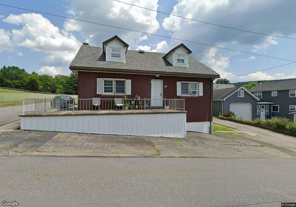
314 Mine St Brockton, PA 17925
Estimated Value: $117,000 - $215,000
2
Beds
1
Bath
1,590
Sq Ft
$93/Sq Ft
Est. Value
About This Home
This home is located at 314 Mine St, Brockton, PA 17925 and is currently estimated at $148,185, approximately $93 per square foot. 314 Mine St is a home with nearby schools including Tamaqua Area Senior High School.
Ownership History
Date
Name
Owned For
Owner Type
Purchase Details
Closed on
Oct 27, 2022
Sold by
Delpais Kyle J
Bought by
Gregori Trevor
Current Estimated Value
Home Financials for this Owner
Home Financials are based on the most recent Mortgage that was taken out on this home.
Original Mortgage
$81,496
Outstanding Balance
$78,508
Interest Rate
6.02%
Mortgage Type
FHA
Estimated Equity
$69,677
Purchase Details
Closed on
Oct 5, 2007
Sold by
Franko Evelyn
Bought by
Delpais Kyle J
Home Financials for this Owner
Home Financials are based on the most recent Mortgage that was taken out on this home.
Original Mortgage
$80,000
Interest Rate
6.59%
Mortgage Type
New Conventional
Create a Home Valuation Report for This Property
The Home Valuation Report is an in-depth analysis detailing your home's value as well as a comparison with similar homes in the area
Home Values in the Area
Average Home Value in this Area
Purchase History
| Date | Buyer | Sale Price | Title Company |
|---|---|---|---|
| Gregori Trevor | $83,000 | Imperial Abstract | |
| Delpais Kyle J | -- | None Available |
Source: Public Records
Mortgage History
| Date | Status | Borrower | Loan Amount |
|---|---|---|---|
| Open | Gregori Trevor | $81,496 | |
| Previous Owner | Delpais Kyle J | $80,000 |
Source: Public Records
Tax History Compared to Growth
Tax History
| Year | Tax Paid | Tax Assessment Tax Assessment Total Assessment is a certain percentage of the fair market value that is determined by local assessors to be the total taxable value of land and additions on the property. | Land | Improvement |
|---|---|---|---|---|
| 2025 | $1,722 | $23,340 | $2,500 | $20,840 |
| 2024 | $1,572 | $23,340 | $2,500 | $20,840 |
| 2023 | $1,572 | $23,340 | $2,500 | $20,840 |
| 2022 | $1,528 | $23,340 | $2,500 | $20,840 |
| 2021 | $1,542 | $23,340 | $2,500 | $20,840 |
| 2020 | $1,509 | $23,340 | $2,500 | $20,840 |
| 2018 | $1,465 | $23,340 | $2,500 | $20,840 |
| 2017 | $1,414 | $23,340 | $2,500 | $20,840 |
| 2015 | -- | $23,340 | $2,500 | $20,840 |
| 2011 | -- | $23,340 | $0 | $0 |
Source: Public Records
Map
Nearby Homes
- 609 Catawissa Rd
- 26 Main St
- 28 Main St
- 93 Washington St
- 212 Pine St
- 17 Main St
- 303 Mulberry St
- 409 Coal St
- 199 State Rd
- 1319 Shady Ln
- 4 Federal St
- 15 Alliance St
- 235 Valley St
- 111 Hillside Dr
- 0 Whitetail Crossing Rd Unit 743729
- 0 Whitetail Crossing Rd
- 201 Market St
- 199 Market St
- 931 Barnesville Dr
- 857 Barnesville Dr