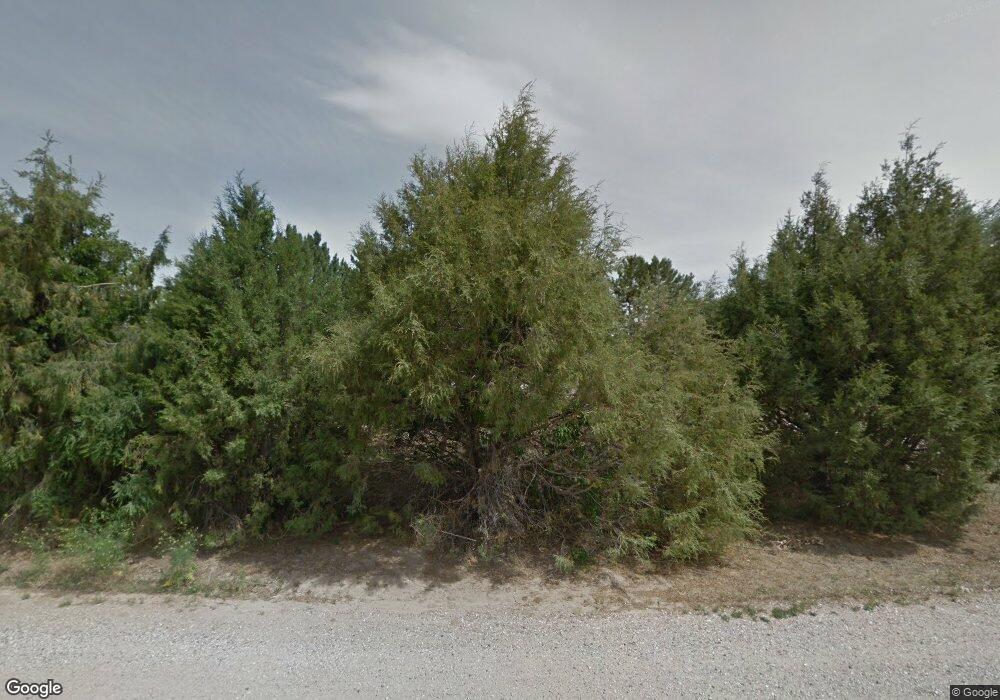
314 Otis St Fort Laramie, WY 82212
Estimated Value: $131,000 - $240,000
2
Beds
1
Bath
1,288
Sq Ft
$141/Sq Ft
Est. Value
About This Home
This home is located at 314 Otis St, Fort Laramie, WY 82212 and is currently estimated at $181,120, approximately $140 per square foot. 314 Otis St is a home with nearby schools including Lingle-Ft. Laramie Elementary School and Lingle-Ft. Laramie Middle School.
Ownership History
Date
Name
Owned For
Owner Type
Purchase Details
Closed on
Aug 27, 2012
Sold by
Todd Baird Herbert
Bought by
Thompson Jerry W and Thompson Sandra J
Current Estimated Value
Home Financials for this Owner
Home Financials are based on the most recent Mortgage that was taken out on this home.
Original Mortgage
$71,677
Outstanding Balance
$49,714
Interest Rate
3.62%
Mortgage Type
FHA
Estimated Equity
$131,406
Purchase Details
Closed on
Aug 25, 2008
Sold by
Anderson Craig B and Anderson Brenda J
Bought by
Todd Baird Herbert
Home Financials for this Owner
Home Financials are based on the most recent Mortgage that was taken out on this home.
Original Mortgage
$68,367
Interest Rate
6.66%
Create a Home Valuation Report for This Property
The Home Valuation Report is an in-depth analysis detailing your home's value as well as a comparison with similar homes in the area
Home Values in the Area
Average Home Value in this Area
Purchase History
| Date | Buyer | Sale Price | Title Company |
|---|---|---|---|
| Thompson Jerry W | -- | -- | |
| Todd Baird Herbert | -- | -- |
Source: Public Records
Mortgage History
| Date | Status | Borrower | Loan Amount |
|---|---|---|---|
| Open | Thompson Jerry W | $71,677 | |
| Previous Owner | Todd Baird Herbert | $68,367 |
Source: Public Records
Tax History Compared to Growth
Tax History
| Year | Tax Paid | Tax Assessment Tax Assessment Total Assessment is a certain percentage of the fair market value that is determined by local assessors to be the total taxable value of land and additions on the property. | Land | Improvement |
|---|---|---|---|---|
| 2025 | $617 | $8,596 | $654 | $7,942 |
| 2024 | $617 | $10,988 | $838 | $10,150 |
| 2023 | $589 | $10,622 | $838 | $9,784 |
| 2022 | $528 | $9,924 | $838 | $9,086 |
| 2021 | $404 | $8,282 | $825 | $7,457 |
| 2020 | $335 | $7,381 | $756 | $6,625 |
| 2019 | $323 | $7,223 | $840 | $6,383 |
| 2018 | $316 | $7,122 | $840 | $6,282 |
| 2017 | $352 | $7,610 | $712 | $6,898 |
| 2016 | $382 | $7,997 | $723 | $7,274 |
| 2015 | -- | $7,624 | $723 | $6,901 |
| 2014 | -- | $7,506 | $904 | $6,602 |
Source: Public Records
Map
Nearby Homes
- 100 S Laramie Ave
- 107 S Laramie Ave
- 106 Fort St
- 114 South St
- 108, 132B, 133A Tollefson Trail
- 9870 Tollefson Trail Unit 1961
- 9870 Tollefson Trail
- 2721 Pine Ridge Rd
- Lot 138 Bobcat Blvd
- Lot 30 Pony Express Ln
- 1962 Pine Ridge
- 1974 Oregon Trail
- 1962 Pine Ridge Rd
- Lot 85 Brooks Blvd
- 2316 Pine Ridge Rd
- Lot 75 Pine Ridge Rd
- Lot 17 Pine Ridge Ranch
- Lot 147 Coyote Trail
- TBD Spray Way
- Lot 149 Pine Ridge Ranch
- 308 Otis St
- 309 Otis St
- 308 Bliss St
- 304 Otis St
- 302 Otis St
- 306 W Bliss St
- 300 W Otis St
- 300 E Otis St
- 500 N Pratt Cole Ave
- 302 W Bliss St
- 300 Otis St
- 106 N Jim Bridger Ave
- 310 N Brooke Ave
- 306 Pioneer Ct
- 210 N Brooke Ave
- 208 N Brooke Ave
- 100 N Jim Bridger Ave
- 206 N Brooke Ave
- 303 N Brooke Ave
- Lots 129 & 130 Tollefson Trail
