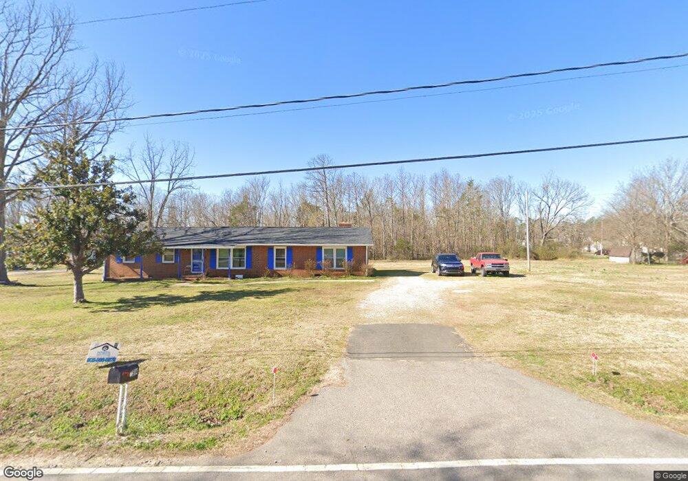
314 Robinson St Rock Hill, SC 29730
Estimated Value: $207,000 - $318,000
--
Bed
--
Bath
2,016
Sq Ft
$127/Sq Ft
Est. Value
About This Home
This home is located at 314 Robinson St, Rock Hill, SC 29730 and is currently estimated at $256,488, approximately $127 per square foot. 314 Robinson St is a home located in York County with nearby schools including Oakdale Elementary School, Saluda Trail Middle School, and South Pointe High School.
Ownership History
Date
Name
Owned For
Owner Type
Purchase Details
Closed on
Jun 15, 2019
Sold by
Gordon David J and Gordon David F
Bought by
Gordon David J and Gordon Earnestine
Current Estimated Value
Purchase Details
Closed on
May 25, 2007
Sold by
Agurs Louis N and Burris Kathy
Bought by
Gordon David J and Gordon David F
Home Financials for this Owner
Home Financials are based on the most recent Mortgage that was taken out on this home.
Original Mortgage
$73,200
Interest Rate
6.16%
Mortgage Type
New Conventional
Create a Home Valuation Report for This Property
The Home Valuation Report is an in-depth analysis detailing your home's value as well as a comparison with similar homes in the area
Home Values in the Area
Average Home Value in this Area
Purchase History
| Date | Buyer | Sale Price | Title Company |
|---|---|---|---|
| Gordon David J | -- | None Available | |
| Gordon David J | $91,529 | None Available |
Source: Public Records
Mortgage History
| Date | Status | Borrower | Loan Amount |
|---|---|---|---|
| Previous Owner | Gordon David J | $73,200 |
Source: Public Records
Tax History Compared to Growth
Tax History
| Year | Tax Paid | Tax Assessment Tax Assessment Total Assessment is a certain percentage of the fair market value that is determined by local assessors to be the total taxable value of land and additions on the property. | Land | Improvement |
|---|---|---|---|---|
| 2024 | $389 | $3,774 | $400 | $3,374 |
| 2023 | $390 | $3,774 | $400 | $3,374 |
| 2022 | $393 | $3,774 | $400 | $3,374 |
| 2021 | -- | $3,774 | $400 | $3,374 |
| 2020 | $838 | $3,774 | $0 | $0 |
| 2019 | $2,126 | $5,010 | $0 | $0 |
| 2018 | $2,095 | $5,010 | $0 | $0 |
| 2017 | $2,023 | $5,010 | $0 | $0 |
| 2016 | $1,982 | $5,010 | $0 | $0 |
| 2014 | $1,912 | $5,010 | $540 | $4,470 |
| 2013 | $1,912 | $5,040 | $540 | $4,500 |
Source: Public Records
Map
Nearby Homes
- 313 Robinson St
- 1315 Pinkney St
- 263 Robinson St
- 269 Cornelius Dr
- 244 1/2 Blanche Cir Unit 49
- 1429 Edgewood Dr
- 940 von Buren Blvd Unit 173
- 903 von Buren Blvd
- 879 von Buren Blvd
- 975 Bunker Trace
- 294 Bellingrath Blvd
- 1438 America St
- 299 Bellingrath Blvd
- 838 von Buren Blvd
- 617 Schuyler Dr
- 922 Bunker Trace
- 1630 Memorial Dr
- 914 Bunker Trace
- Upton II Plan at Colvin Park
- Inverness Plan at Colvin Park
- 296 Robinson St
- 307 Robinson St
- 294 Robinson St
- 1311 Pinkney St
- 305 Robinson St
- 305 Robinson St
- 301 Robinson St
- 301 Robinson St
- 301 Robinson St
- 301 Robinson St
- 301 Robinson St
- 301 Robinson St
- 319 Robinson St
- 307 Booker Washington St
- 1333 Pinkney St Unit 17
- 292 Robinson St
- 1321 Pinkney St
- 288 Robinson St
- 281 Robinson St
- 280 Robinson St