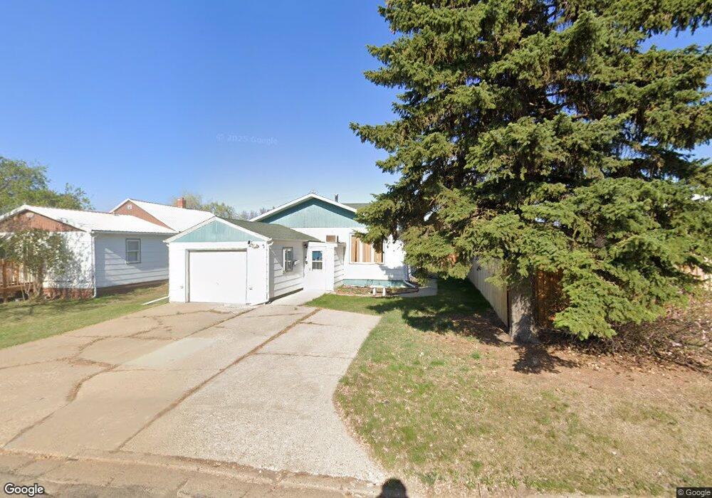
314 S 2nd St Glen Ullin, ND 58631
Estimated Value: $148,654 - $163,000
Studio
14
Baths
3,084
Sq Ft
$51/Sq Ft
Est. Value
About This Home
This home is located at 314 S 2nd St, Glen Ullin, ND 58631 and is currently estimated at $156,664, approximately $50 per square foot. 314 S 2nd St is a home located in Morton County with nearby schools including Glen Ullin Elementary School and Glen Ullin High School.
Ownership History
Date
Name
Owned For
Owner Type
Purchase Details
Closed on
May 22, 2012
Sold by
Mitchell Christaphor and Mitchell Christopher
Bought by
Henderson Leslie Marie and Mitchell Leslie Marie Henderson
Current Estimated Value
Purchase Details
Closed on
May 4, 2010
Sold by
Weisenburger Dennis D and Weisenburger Gwen
Bought by
Schultz Ardis C and Charles Schultz A
Home Financials for this Owner
Home Financials are based on the most recent Mortgage that was taken out on this home.
Original Mortgage
$91,836
Outstanding Balance
$62,303
Interest Rate
5.3%
Mortgage Type
New Conventional
Estimated Equity
$94,361
Purchase Details
Closed on
Mar 5, 2009
Sold by
Weisenburger Lorraine
Bought by
Weisenburger Dennis D and Schultz Ardis C
Create a Home Valuation Report for This Property
The Home Valuation Report is an in-depth analysis detailing your home's value as well as a comparison with similar homes in the area
Purchase History
| Date | Buyer | Sale Price | Title Company |
|---|---|---|---|
| Henderson Leslie Marie | -- | None Available | |
| Schultz Ardis C | -- | Mandan Guaranty & Title Co | |
| Weisenburger Dennis D | -- | None Available |
Source: Public Records
Mortgage History
| Date | Status | Borrower | Loan Amount |
|---|---|---|---|
| Open | Schultz Ardis C | $91,836 |
Source: Public Records
Tax History
| Year | Tax Paid | Tax Assessment Tax Assessment Total Assessment is a certain percentage of the fair market value that is determined by local assessors to be the total taxable value of land and additions on the property. | Land | Improvement |
|---|---|---|---|---|
| 2024 | $13 | $45,750 | $0 | $0 |
| 2023 | $1,255 | $48,300 | $3,000 | $45,300 |
| 2022 | $1,207 | $46,950 | $2,050 | $44,900 |
| 2021 | $1,230 | $48,800 | $1,250 | $47,550 |
| 2020 | $1,260 | $49,250 | $1,250 | $48,000 |
| 2019 | $1,302 | $48,300 | $0 | $0 |
| 2018 | $1,171 | $48,000 | $1,150 | $46,850 |
| 2017 | $945 | $45,600 | $1,150 | $44,450 |
| 2016 | $868 | $41,950 | $1,150 | $40,800 |
| 2015 | $868 | $40,700 | $1,150 | $39,550 |
| 2014 | $733 | $37,350 | $1,550 | $35,800 |
| 2013 | $689 | $34,400 | $1,550 | $32,850 |
Source: Public Records
Map
Nearby Homes
- 311 B St S
- 414 S 3rd St
- 409 B St S
- 407 E St S
- 408 E South Ave
- 6044 41st St
- Tbd Gallagher's Subdivision
- 211 N Bismarck St
- 904 Washington Ave
- 1001 North Ave
- 520 Washington Ave
- Tbd 30th St SW Unit (3)
- 5463 Shoreline Ave
- 5472 Shoreline Ave
- 5499 Leisure Ave
- 5523 Care Free Ave
- 5490 Care Free Ave
- 5505 71st Ave SW
- TBD SW
- 6812 E Schatz Dr
Your Personal Tour Guide
Ask me questions while you tour the home.