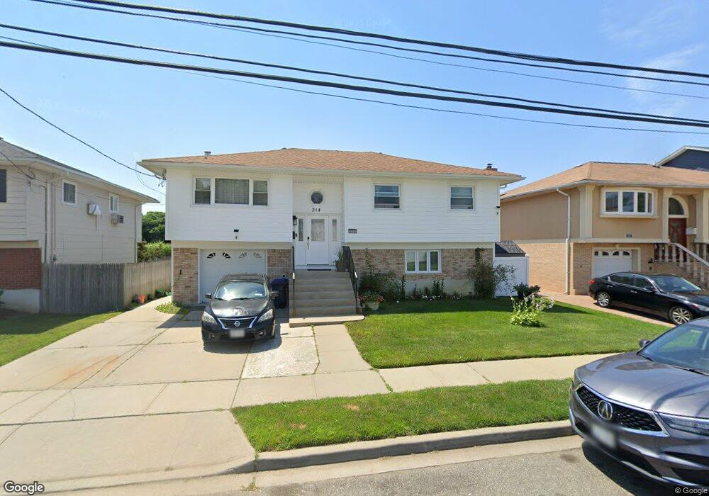
314 S Brookside Ave Freeport, NY 11520
Estimated Value: $703,432 - $722,000
4
Beds
2
Baths
2,080
Sq Ft
$343/Sq Ft
Est. Value
About This Home
This home is located at 314 S Brookside Ave, Freeport, NY 11520 and is currently estimated at $712,716, approximately $342 per square foot. 314 S Brookside Ave is a home located in Nassau County with nearby schools including Caroline G. Atkinson Intermediate School, Columbus Avenue School, and John W Dodd Middle School.
Ownership History
Date
Name
Owned For
Owner Type
Purchase Details
Closed on
Sep 21, 2018
Sold by
Lowery Eldia
Bought by
Walker Dwuane and Walker Ebony
Current Estimated Value
Home Financials for this Owner
Home Financials are based on the most recent Mortgage that was taken out on this home.
Original Mortgage
$407,550
Outstanding Balance
$354,676
Interest Rate
4.5%
Mortgage Type
New Conventional
Estimated Equity
$358,040
Purchase Details
Closed on
Oct 17, 2006
Sold by
Urena Orlando
Purchase Details
Closed on
Jul 28, 2003
Sold by
Duran Anna
Purchase Details
Closed on
Mar 24, 1995
Sold by
Urena Orlando and Urena Eldia
Bought by
Urena Orlando and Urena Eldia
Home Financials for this Owner
Home Financials are based on the most recent Mortgage that was taken out on this home.
Original Mortgage
$25,000
Interest Rate
8.78%
Create a Home Valuation Report for This Property
The Home Valuation Report is an in-depth analysis detailing your home's value as well as a comparison with similar homes in the area
Home Values in the Area
Average Home Value in this Area
Purchase History
| Date | Buyer | Sale Price | Title Company |
|---|---|---|---|
| Walker Dwuane | $429,000 | Fidelity National Title | |
| -- | -- | -- | |
| -- | -- | -- | |
| Urena Orlando | -- | -- |
Source: Public Records
Mortgage History
| Date | Status | Borrower | Loan Amount |
|---|---|---|---|
| Open | Walker Dwuane | $407,550 | |
| Previous Owner | Urena Orlando | $25,000 |
Source: Public Records
Tax History
| Year | Tax Paid | Tax Assessment Tax Assessment Total Assessment is a certain percentage of the fair market value that is determined by local assessors to be the total taxable value of land and additions on the property. | Land | Improvement |
|---|---|---|---|---|
| 2025 | $8,905 | $413 | $132 | $281 |
| 2024 | $935 | $416 | $133 | $283 |
Source: Public Records
Map
Nearby Homes
- 61 Morton Ave
- 306 Park Ave
- 2676 Johnson Place Unit 2674
- 254 Park Ave
- 230 Park Ave
- 2864 Eastern Blvd
- 6 Elliott Place
- 2743 Milburn Ave
- 62 Westend Ave
- 172 Juanita Ave
- 2632 Central Ave
- 525 Ray St
- 156 Juanita Ave
- 116 Westend Ave Unit 21
- 116 Westend Ave Unit 8
- 2842 Dahlia Ave
- 2758 Harvard Place
- 2483 Central Ave
- 47 Anchor St Unit Y
- 2782 Central Ave
- 310 S Brookside Ave
- 320 S Brookside Ave
- 324 S Brookside Ave
- 306 S Brookside Ave
- 557 Archer St
- 323 S Brookside Ave
- 555 Archer St
- 298 S Brookside Ave
- 327 S Brookside Ave
- 558 Archer St
- 551 Archer St
- 68 Morton Ave
- 296 S Brookside Ave
- 332 S Brookside Ave
- 66 Morton Ave
- 554 Archer St
- 541 Archer St
- 294 S Brookside Ave
- 62 Morton Ave
Your Personal Tour Guide
Ask me questions while you tour the home.