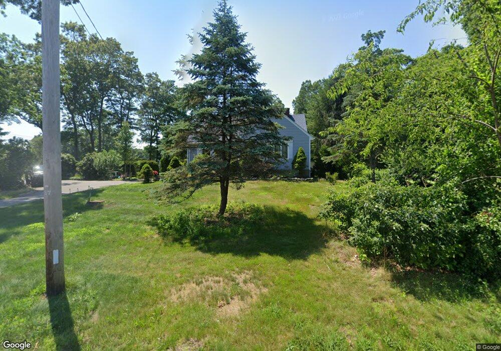
314 Sharps Lot Rd Swansea, MA 02777
Northeast Swansea NeighborhoodEstimated Value: $470,000 - $534,000
3
Beds
2
Baths
1,670
Sq Ft
$303/Sq Ft
Est. Value
About This Home
This home is located at 314 Sharps Lot Rd, Swansea, MA 02777 and is currently estimated at $506,684, approximately $303 per square foot. 314 Sharps Lot Rd is a home located in Bristol County with nearby schools including Joseph Case High School, SCEC Life Academy, and Swansea Wood School.
Ownership History
Date
Name
Owned For
Owner Type
Purchase Details
Closed on
Apr 16, 2019
Sold by
Laroche James
Bought by
Laroche Dianne and Jones Pamela
Current Estimated Value
Purchase Details
Closed on
Mar 16, 2017
Sold by
Pereira Paul
Bought by
Sharps Lrz Llc
Purchase Details
Closed on
Feb 10, 2015
Sold by
Laroche Henry L and Laroche Dianne
Bought by
Laroche Henry L and Laroche Dianne
Purchase Details
Closed on
Aug 7, 1975
Bought by
Laroche Henry L and Laroche Dianne
Create a Home Valuation Report for This Property
The Home Valuation Report is an in-depth analysis detailing your home's value as well as a comparison with similar homes in the area
Home Values in the Area
Average Home Value in this Area
Purchase History
| Date | Buyer | Sale Price | Title Company |
|---|---|---|---|
| Laroche Dianne | -- | -- | |
| Laroche Henry L | -- | -- | |
| Sharps Lrz Llc | -- | -- | |
| Laroche Henry L | -- | -- | |
| Laroche Henry L | -- | -- |
Source: Public Records
Tax History Compared to Growth
Tax History
| Year | Tax Paid | Tax Assessment Tax Assessment Total Assessment is a certain percentage of the fair market value that is determined by local assessors to be the total taxable value of land and additions on the property. | Land | Improvement |
|---|---|---|---|---|
| 2025 | $4,720 | $396,000 | $149,000 | $247,000 |
| 2024 | $4,772 | $398,000 | $149,000 | $249,000 |
| 2023 | $4,417 | $336,400 | $109,000 | $227,400 |
| 2022 | $4,282 | $297,600 | $99,100 | $198,500 |
| 2021 | $3,918 | $250,700 | $99,100 | $151,600 |
| 2020 | $3,700 | $237,500 | $99,100 | $138,400 |
| 2019 | $3,466 | $223,500 | $88,200 | $135,300 |
| 2018 | $3,375 | $220,900 | $85,600 | $135,300 |
| 2017 | $3,016 | $227,100 | $85,600 | $141,500 |
| 2016 | $2,838 | $209,900 | $73,800 | $136,100 |
| 2015 | $2,637 | $200,800 | $73,800 | $127,000 |
| 2014 | $2,537 | $197,600 | $73,800 | $123,800 |
Source: Public Records
Map
Nearby Homes
- 265 Stevens Rd
- 745 Bark St
- 34 Base Lodge Ln
- 0 Bark St Unit 1342599
- 0 Bark St Unit 73152576
- 1067 Bark St
- 194 Hortonville Rd
- 0B Cummings Rd
- 0A Cummings Rd
- 33 Rhinecliffe Rd
- 0 Hortonville Rd Unit 73242268
- 122 Robin Ln
- 95 Brookside Rd
- 850 Hortonville Rd
- 171 Marvel St
- 24 Front St
- Lot 11 Lynch
- 0 Proprietors Way Unit 73324662
- Lot 10 Lynch
- 8 2nd St
- 315 Sharps Lot Rd
- 348 Sharps Lot Rd
- 325 Sharps Lot Rd
- 305 Sharps Lot Rd
- 333 Sharps Lot Rd
- 350 Sharps Lot Rd
- 264 Sharps Lot Rd
- 370 Sharps Lot Rd
- 0BWest Sharps Lot Rd
- 374 Sharps Lot Rd
- 243 Sharps Lot Rd
- 410 Sharps Lot Rd
- 404 Sharps Lot Rd
- 424 Sharps Lot Rd
- 204 Sharps Lot Rd
- 428 Sharps Lot Rd
- 414 Sharps Lot Rd
- 194 Sharps Lot Rd
- 185 Sharps Lot Rd
- 220 Sharps Lot Rd