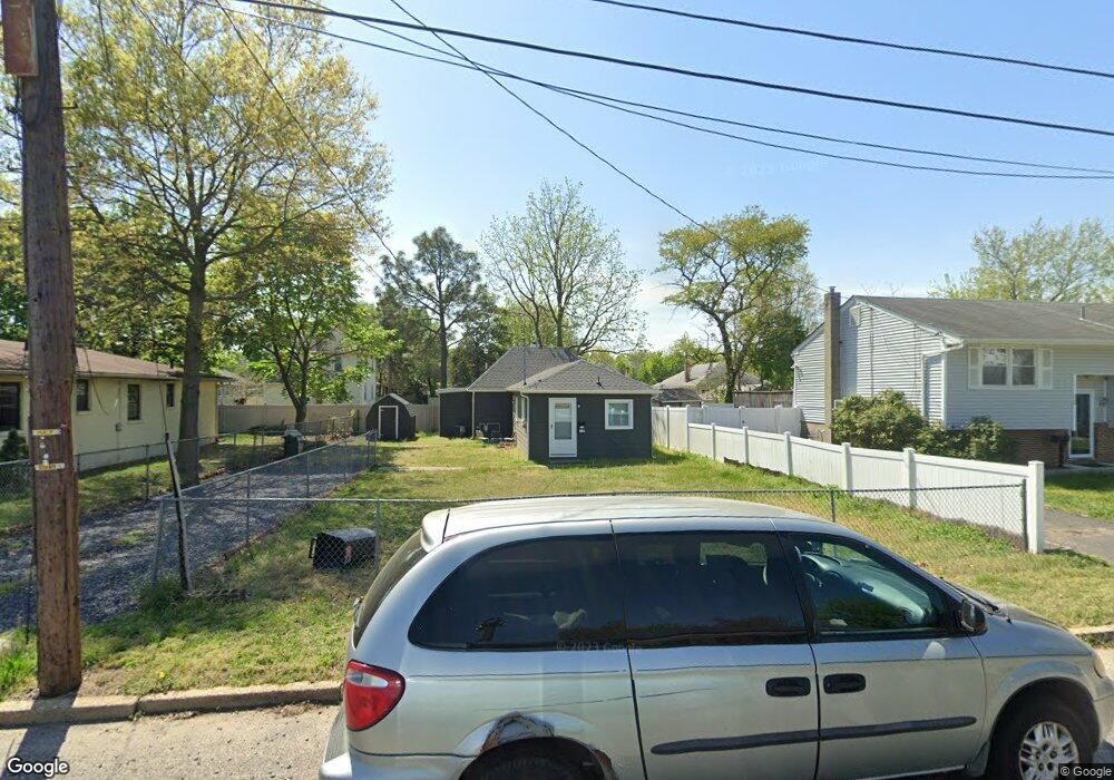
314 W Adams St Paulsboro, NJ 08066
Estimated Value: $160,448 - $211,000
2
Beds
1
Bath
912
Sq Ft
$202/Sq Ft
Est. Value
About This Home
This home is located at 314 W Adams St, Paulsboro, NJ 08066 and is currently estimated at $184,612, approximately $202 per square foot. 314 W Adams St is a home located in Gloucester County with nearby schools including Billingsport Elementary School, Loudenslager Elementary School, and Paulsboro High School.
Ownership History
Date
Name
Owned For
Owner Type
Purchase Details
Closed on
Sep 18, 2020
Sold by
Neuhart Lisa A
Bought by
Szmr Properties Llc
Current Estimated Value
Purchase Details
Closed on
Aug 10, 2016
Sold by
Ford Kristen D
Bought by
Neuhart Lisa A
Purchase Details
Closed on
Sep 25, 2006
Sold by
Jackson Everdeene
Bought by
Ford Kristen D and Wilson Joseph
Create a Home Valuation Report for This Property
The Home Valuation Report is an in-depth analysis detailing your home's value as well as a comparison with similar homes in the area
Home Values in the Area
Average Home Value in this Area
Purchase History
| Date | Buyer | Sale Price | Title Company |
|---|---|---|---|
| Szmr Properties Llc | $23,000 | National Integrity Ttl Agcy | |
| Neuhart Lisa A | -- | None Available | |
| Ford Kristen D | $51,500 | -- |
Source: Public Records
Tax History Compared to Growth
Tax History
| Year | Tax Paid | Tax Assessment Tax Assessment Total Assessment is a certain percentage of the fair market value that is determined by local assessors to be the total taxable value of land and additions on the property. | Land | Improvement |
|---|---|---|---|---|
| 2025 | $2,790 | $63,400 | $16,700 | $46,700 |
| 2024 | $2,787 | $63,400 | $16,700 | $46,700 |
| 2023 | $2,787 | $63,400 | $16,700 | $46,700 |
| 2022 | $2,736 | $63,400 | $16,700 | $46,700 |
| 2021 | $2,683 | $63,400 | $16,700 | $46,700 |
| 2020 | $2,667 | $63,400 | $16,700 | $46,700 |
| 2019 | $2,583 | $63,400 | $16,700 | $46,700 |
| 2018 | $2,435 | $63,400 | $16,700 | $46,700 |
| 2017 | $2,425 | $63,400 | $16,700 | $46,700 |
| 2016 | $2,310 | $63,400 | $16,700 | $46,700 |
| 2015 | $2,297 | $63,400 | $16,700 | $46,700 |
| 2014 | $2,216 | $65,800 | $18,700 | $47,100 |
Source: Public Records
Map
Nearby Homes
- 344 W Washington St
- 335 W Buck St
- L18 20 W Broad St
- 269 W Broad St
- 1043 Penn Line Rd
- 227 W Buck St
- 219 Vanneman Blvd
- 129 W Washington St
- 122 W Washington St
- 140 142 W Jefferson St
- 255 Elizabeth Ave
- 28 W Jefferson St
- 1519 Pine St
- 1534 Pine St
- 20 W Adams St
- 21 W Adams St
- 11 W Washington St
- 836 E Broad St
- 46 Roosevelt St
- 53-55 Roosevelt St
- 330 W Adams St
- 316 W Adams St
- 335 W Washington St
- 327 W Washington St
- 339 W Washington St
- 334 W Adams St
- 323 W Washington St
- 319 W Washington St
- 1005 Devault Ave
- 349-351 W Washington St
- 315 W Washington St
- 338 W Adams St
- 349 W Washington St Unit 351
- 324 W Washington St
- 1008 Devault Ave
- 1009 Devault Ave
- 320 W Washington St
- 304 W Adams St
- 321 W Adams St
- 322 W Washington St