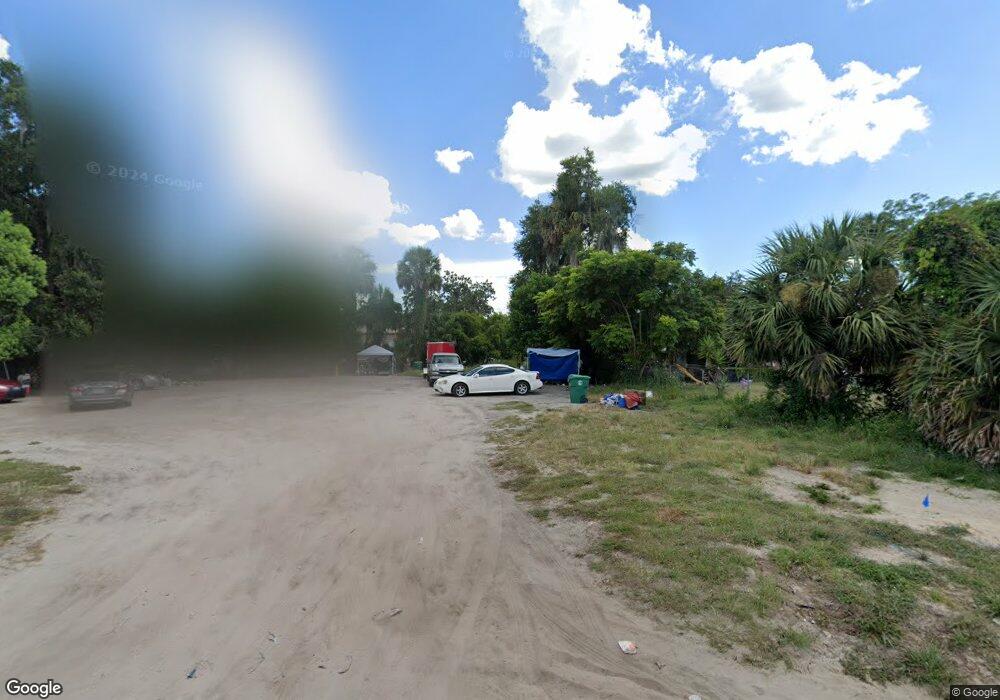
314 W Euclid Ave Deland, FL 32720
Estimated Value: $19,451 - $260,000
--
Bed
1
Bath
--
Sq Ft
7,100
Sq Ft Lot
About This Home
This home is located at 314 W Euclid Ave, Deland, FL 32720 and is currently estimated at $135,363. 314 W Euclid Ave is a home located in Volusia County with nearby schools including Edith I. Starke Elementary School, Deland High School, and Southwestern Middle School.
Ownership History
Date
Name
Owned For
Owner Type
Purchase Details
Closed on
Mar 15, 2019
Sold by
Roberts Keithran
Bought by
Roberts Keithran and Kuffin Lashopbalyn De Shra
Current Estimated Value
Purchase Details
Closed on
Apr 27, 2015
Sold by
Moran Bobbie and Ruffin Jonathan
Bought by
Ruffin Johnathan S and Moran Bobbie G
Purchase Details
Closed on
Jul 2, 2014
Sold by
Moran Bobbie Gail
Bought by
Moran Bobbie G
Purchase Details
Closed on
Apr 1, 2014
Sold by
Gibson Henry Bernard and Gibson Kattie Mae
Bought by
Moran Bobbie Gail
Purchase Details
Closed on
Jun 15, 1975
Bought by
Ruffin Johnathan S
Create a Home Valuation Report for This Property
The Home Valuation Report is an in-depth analysis detailing your home's value as well as a comparison with similar homes in the area
Home Values in the Area
Average Home Value in this Area
Purchase History
| Date | Buyer | Sale Price | Title Company |
|---|---|---|---|
| Roberts Keithran | -- | None Available | |
| Ruffin Johnathan S | -- | None Available | |
| Moran Bobbie G | -- | None Available | |
| Moran Bobbie Gail | $8,000 | None Available | |
| Ruffin Johnathan S | $2,300 | -- |
Source: Public Records
Tax History Compared to Growth
Tax History
| Year | Tax Paid | Tax Assessment Tax Assessment Total Assessment is a certain percentage of the fair market value that is determined by local assessors to be the total taxable value of land and additions on the property. | Land | Improvement |
|---|---|---|---|---|
| 2025 | $145 | $19,000 | $19,000 | -- |
| 2024 | $145 | $19,000 | $19,000 | -- |
| 2023 | $145 | $10,750 | $10,750 | $0 |
| 2022 | $139 | $10,750 | $10,750 | $0 |
| 2021 | $129 | $8,500 | $8,500 | $0 |
| 2020 | $106 | $5,750 | $5,750 | $0 |
| 2019 | $98 | $4,798 | $4,798 | $0 |
| 2018 | $91 | $4,040 | $4,040 | $0 |
| 2017 | $88 | $3,770 | $3,770 | $0 |
| 2016 | $87 | $3,770 | $0 | $0 |
| 2015 | $91 | $3,816 | $0 | $0 |
| 2014 | -- | $7,053 | $0 | $0 |
Source: Public Records
Map
Nearby Homes
- 430 S Parsons Ave
- 221 W Euclid Ave
- 406 S Delaware Ave
- 205 W Division St
- 534 S Adelle Ave
- 647 S Delaware Ave
- 709 S Parsons Ave
- 526 W Hubbard Ave
- 624 W Euclid Ave
- 632 W Hubbard Ave
- 0 Deland Unit MFRV4942835
- 0 Deland Unit 1213697
- 0 Deland Unit R11052053
- 134 S Julia Ave
- 217 W Chelsea St
- 138 W Volusia Ave
- 0 N Woodland Blvd Unit V4918224
- 205 E Voorhis Ave
- 808 S Clara Ave
- 113 S Woodland Blvd
- 310 W Euclid Ave
- 322 W Euclid Ave
- 304 W Euclid Ave
- 326 W Euclid Ave
- 317 W Euclid Ave
- 435 S Parsons Ave
- 438 S Clara Ave
- 334 W Euclid Ave
- 431 S Parsons Ave
- 434 S Clara Ave
- 222 W Euclid Ave
- 511 S Clara Ave
- 245 W Euclid Ave
- 336 W Euclid Ave
- 220 W Euclid Ave
- 477 S Clara Ave
- 430 S Parsons Ave Unit 3
- 430 S Parsons Ave Unit 2
- 430 S Parsons Ave Unit 1
- 343 W Euclid Ave