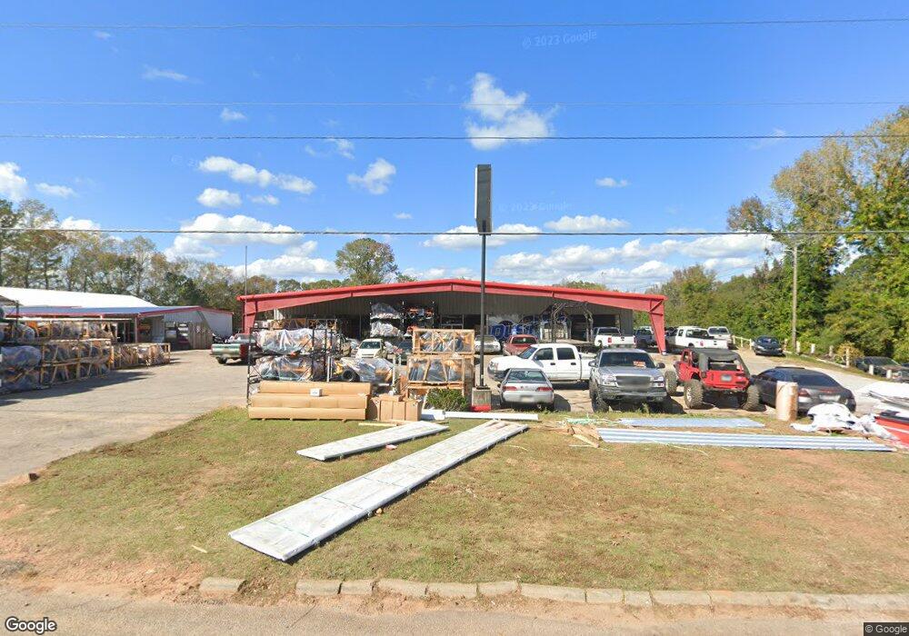
3140 W Point Rd Lagrange, GA 30240
Estimated Value: $337,122
Studio
1
Bath
9,800
Sq Ft
$34/Sq Ft
Est. Value
About This Home
This home is located at 3140 W Point Rd, Lagrange, GA 30240 and is currently estimated at $337,122, approximately $34 per square foot. 3140 W Point Rd is a home located in Troup County with nearby schools including Berta Weathersbee Elementary School, Long Cane Elementary School, and Whitesville Road Elementary School.
Ownership History
Date
Name
Owned For
Owner Type
Purchase Details
Closed on
Sep 9, 2020
Sold by
Ashley Michael L
Bought by
Boone Jeremy C
Current Estimated Value
Home Financials for this Owner
Home Financials are based on the most recent Mortgage that was taken out on this home.
Original Mortgage
$383,028
Outstanding Balance
$149,976
Interest Rate
2.9%
Mortgage Type
Commercial
Estimated Equity
$187,146
Purchase Details
Closed on
Jun 19, 2018
Sold by
Melvin Long
Bought by
Mitchell Ashley and Mitchell Daryl
Home Financials for this Owner
Home Financials are based on the most recent Mortgage that was taken out on this home.
Original Mortgage
$48,975
Interest Rate
4.62%
Purchase Details
Closed on
Mar 7, 1995
Sold by
Hunt Jeff
Bought by
Ashley Michael L
Purchase Details
Closed on
Jul 14, 1989
Sold by
Cynthia J Shockley
Bought by
Hunt Jeff
Purchase Details
Closed on
Mar 1, 1988
Sold by
Cynthia Robert and Cynthia Gilbert
Bought by
Cynthia J Shockley
Purchase Details
Closed on
Apr 28, 1983
Sold by
Marcus A Smith
Bought by
Cynthia Robert and Cynthia Gilbert
Purchase Details
Closed on
Jan 1, 1966
Sold by
Gene A Hunt
Bought by
Marcus A Smith
Create a Home Valuation Report for This Property
The Home Valuation Report is an in-depth analysis detailing your home's value as well as a comparison with similar homes in the area
Purchase History
| Date | Buyer | Sale Price | Title Company |
|---|---|---|---|
| Boone Jeremy C | $220,000 | -- | |
| Mitchell Ashley | -- | -- | |
| Ashley Michael L | $200,000 | -- | |
| Hunt Jeff | $150,000 | -- | |
| Cynthia J Shockley | -- | -- | |
| Cynthia Robert | $111,000 | -- | |
| Marcus A Smith | -- | -- |
Source: Public Records
Mortgage History
| Date | Status | Borrower | Loan Amount |
|---|---|---|---|
| Open | Boone Jeremy C | $383,028 | |
| Previous Owner | Mitchell Ashley | $48,975 | |
| Previous Owner | Mitchell Ashley | -- |
Source: Public Records
Tax History
| Year | Tax Paid | Tax Assessment Tax Assessment Total Assessment is a certain percentage of the fair market value that is determined by local assessors to be the total taxable value of land and additions on the property. | Land | Improvement |
|---|---|---|---|---|
| 2025 | $3,091 | $113,320 | $20,400 | $92,920 |
| 2024 | $2,584 | $94,760 | $20,400 | $74,360 |
| 2023 | $2,535 | $92,960 | $20,400 | $72,560 |
| 2022 | $2,595 | $92,960 | $20,400 | $72,560 |
| 2021 | $2,654 | $109,480 | $28,000 | $81,480 |
| 2020 | $3,302 | $109,480 | $28,000 | $81,480 |
| 2019 | $2,716 | $90,040 | $28,000 | $62,040 |
| 2018 | $2,713 | $89,960 | $28,000 | $61,960 |
| 2017 | $2,713 | $89,960 | $28,000 | $61,960 |
| 2016 | $2,342 | $77,665 | $20,000 | $57,665 |
| 2015 | $2,346 | $77,665 | $20,000 | $57,665 |
| 2014 | $2,385 | $78,802 | $20,000 | $58,802 |
| 2013 | -- | $78,802 | $20,000 | $58,802 |
Source: Public Records
Map
Nearby Homes
- 245 Teaver Rd
- 808 S Fling Rd
- 0 Glass Bridge Rd Unit 10679358
- 427 Fling Rd
- 53 Horace Carter Rd
- 8 Horace Carter Rd
- 288 Bradfield Dr
- 0 Bradfield Dr Unit 10568803
- 402 Ginger Cir
- 2239 Pegasus Pkwy
- 640 Hudson Rd
- 22 Freeman Rd
- 105 Redwood Dr
- 3009 Old West Point Rd
- 98 Hearn Rd
- 104 Independence Ct
- 113 Colonial Ct
- 129 Angela East Dr
- 4.5 ACRES Whatley Rd N
- 0 Deming St Unit 10550189
- 3140 West Point Rd
- 3116 West Point Rd
- 3116 W Point Rd
- 3176 W Point Rd
- 3176 West Point Rd
- 3153 West Point Rd
- 3159 West Point Rd
- 3092 West Point Rd
- 3190 W Point Rd
- 3097 West Point Rd
- 8 Martin Dr
- 22 Martin Dr
- 11 Pop Reeses Rd
- 40 Martin Dr
- 78 Martin Dr
- 3206 West Point Rd
- 3206 W Point Rd
- 10 Pop Reeses Rd
- 69 Pop Reeses Rd
- 3209 W Point Rd
Your Personal Tour Guide
Ask me questions while you tour the home.