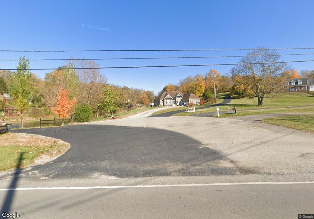
3145 Cincinnati Rd Georgetown, KY 40324
Estimated Value: $482,000 - $562,000
4
Beds
3
Baths
2,607
Sq Ft
$203/Sq Ft
Est. Value
About This Home
This home is located at 3145 Cincinnati Rd, Georgetown, KY 40324 and is currently estimated at $528,905, approximately $202 per square foot. 3145 Cincinnati Rd is a home located in Scott County with nearby schools including Northern Elementary School, Royal Spring Middle School, and Scott County High School.
Ownership History
Date
Name
Owned For
Owner Type
Purchase Details
Closed on
Jun 17, 2016
Sold by
Honeycutt Christopher A and Honeycutt Aimee
Bought by
Raymond Michael P and Honeycutt Christopher A
Current Estimated Value
Purchase Details
Closed on
May 9, 2014
Sold by
Trent Bill David
Bought by
Trent Billy R and Trent Sandra
Home Financials for this Owner
Home Financials are based on the most recent Mortgage that was taken out on this home.
Original Mortgage
$235,000
Outstanding Balance
$177,276
Interest Rate
4.37%
Mortgage Type
FHA
Estimated Equity
$351,629
Purchase Details
Closed on
Jan 16, 2009
Sold by
Trent Billy R
Bought by
Trent Bill David
Home Financials for this Owner
Home Financials are based on the most recent Mortgage that was taken out on this home.
Original Mortgage
$245,500
Interest Rate
5.43%
Mortgage Type
Purchase Money Mortgage
Create a Home Valuation Report for This Property
The Home Valuation Report is an in-depth analysis detailing your home's value as well as a comparison with similar homes in the area
Purchase History
| Date | Buyer | Sale Price | Title Company |
|---|---|---|---|
| Raymond Michael P | -- | Attorney | |
| Trent Billy R | $277,000 | Jett Title | |
| Trent Bill David | $265,000 | None Available |
Source: Public Records
Mortgage History
| Date | Status | Borrower | Loan Amount |
|---|---|---|---|
| Open | Trent Billy R | $235,000 | |
| Previous Owner | Trent Bill David | $245,500 |
Source: Public Records
Tax History
| Year | Tax Paid | Tax Assessment Tax Assessment Total Assessment is a certain percentage of the fair market value that is determined by local assessors to be the total taxable value of land and additions on the property. | Land | Improvement |
|---|---|---|---|---|
| 2025 | $3,201 | $359,400 | $0 | $0 |
| 2024 | $2,981 | $331,500 | $0 | $0 |
| 2023 | $2,911 | $321,100 | $50,000 | $271,100 |
| 2022 | $2,730 | $321,100 | $50,000 | $271,100 |
| 2021 | $2,692 | $306,900 | $45,000 | $261,900 |
| 2020 | $2,559 | $297,810 | $45,000 | $252,810 |
| 2019 | $2,599 | $297,810 | $0 | $0 |
| 2018 | $2,541 | $292,810 | $0 | $0 |
| 2017 | $2,519 | $288,876 | $0 | $0 |
| 2016 | $2,326 | $288,876 | $0 | $0 |
| 2015 | $2,216 | $277,000 | $0 | $0 |
| 2014 | $2,041 | $267,100 | $0 | $0 |
| 2011 | $1,927 | $265,000 | $0 | $0 |
Source: Public Records
Map
Nearby Homes
- 116 Harborside Ct
- 103 Harborside Ct
- 108 Teal Ct
- 1 Mallard Point Dr
- 111 Blackberry Ln
- 115 Blackberry Ln
- 117 Blackberry Ln
- 119 Blackberry Ln
- 107 Blackberry Ln
- 121 Blackberry Ln
- 180 Lakeshore Cir
- 237-281 Harbor Village Dr
- 281 Harbor Village Dr
- 279 Harbor Village Dr
- 282 Harbor Village Dr
- 280 Harbor Village Dr
- 107 Mallard Point Ct
- 274 Harbor Village Dr
- 261 Harbor Village Dr
- 268 Harbor Village Dr
- 3141 Cincinnati Rd
- 3149 Cincinnati Rd
- 3143 Cincinnati Rd
- 3156 Cincinnati Rd
- 3137 Cincinnati Rd
- 3192 Cincinnati Rd
- 116 Autumn Ln
- 112 Autumn Ln
- 108 Autumn Ln
- 104 Autumn Ln
- 120 Autumn Ln
- 100 Autumn Ln
- 0 Autumn Ln
- 3113 Cincinnati Rd
- 109 Autumn Ln
- 113 Autumn Ln
- 101 Autumn Ln
- 117 Autumn Ln
- 117 Autumn Ln Unit 1
- 125 Autumn Ln
Your Personal Tour Guide
Ask me questions while you tour the home.