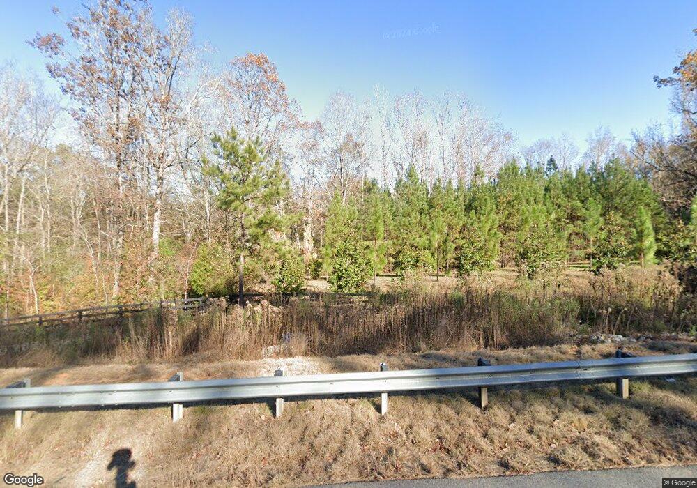
3146 Ga Highway 219 Fortson, GA 31808
Estimated Value: $345,000 - $2,837,000
1
Bed
1
Bath
720
Sq Ft
$1,607/Sq Ft
Est. Value
About This Home
This home is located at 3146 Ga Highway 219, Fortson, GA 31808 and is currently estimated at $1,157,095, approximately $1,607 per square foot. 3146 Ga Highway 219 is a home with nearby schools including New Mountain Hill Elementary School, Harris County Carver Middle School, and Harris County High School.
Ownership History
Date
Name
Owned For
Owner Type
Purchase Details
Closed on
Apr 2, 2015
Sold by
A & M Lane Farms Llc
Bought by
Lane Joshua E and Lane Tanda N
Current Estimated Value
Purchase Details
Closed on
May 28, 2013
Sold by
Wynn Morris Philip
Bought by
A & M Lane Farms Llc
Home Financials for this Owner
Home Financials are based on the most recent Mortgage that was taken out on this home.
Original Mortgage
$800,000
Interest Rate
3.37%
Mortgage Type
New Conventional
Purchase Details
Closed on
Nov 17, 2006
Sold by
Wynn Morris P
Bought by
Wynn Chloe M
Purchase Details
Closed on
Dec 17, 2002
Sold by
Wellborn Sam M
Bought by
Wynn Morris Philip
Purchase Details
Closed on
Apr 6, 1999
Bought by
Wellborn Sam M
Create a Home Valuation Report for This Property
The Home Valuation Report is an in-depth analysis detailing your home's value as well as a comparison with similar homes in the area
Home Values in the Area
Average Home Value in this Area
Purchase History
| Date | Buyer | Sale Price | Title Company |
|---|---|---|---|
| Lane Joshua E | -- | -- | |
| A & M Lane Farms Llc | -- | -- | |
| A & M Lane Farms Llc | $1,600,000 | -- | |
| Wynn Chloe M | -- | -- | |
| Wynn Morris Philip | $678,000 | -- | |
| Wellborn Sam M | $1,000,000 | -- |
Source: Public Records
Mortgage History
| Date | Status | Borrower | Loan Amount |
|---|---|---|---|
| Previous Owner | A & M Lane Farms Llc | $800,000 |
Source: Public Records
Tax History Compared to Growth
Tax History
| Year | Tax Paid | Tax Assessment Tax Assessment Total Assessment is a certain percentage of the fair market value that is determined by local assessors to be the total taxable value of land and additions on the property. | Land | Improvement |
|---|---|---|---|---|
| 2024 | $3,287 | $222,193 | $138,559 | $83,634 |
| 2023 | $3,263 | $222,193 | $138,559 | $83,634 |
| 2022 | $3,239 | $222,193 | $138,559 | $83,634 |
| 2021 | $2,709 | $199,652 | $138,559 | $61,093 |
| 2020 | $2,685 | $199,652 | $138,559 | $61,093 |
| 2019 | $2,572 | $199,652 | $138,559 | $61,093 |
| 2018 | $2,607 | $200,513 | $139,420 | $61,093 |
| 2017 | $1,763 | $130,447 | $99,113 | $31,334 |
| 2016 | $1,574 | $218,005 | $188,708 | $29,297 |
| 2015 | $5,763 | $226,825 | $197,528 | $29,297 |
| 2014 | $5,779 | $227,013 | $207,204 | $19,809 |
| 2013 | -- | $225,964 | $206,104 | $19,859 |
Source: Public Records
Map
Nearby Homes
- 931 Plantation Creek Rd
- 83 Terry Ln
- 0 Mallard Ln Unit 10545910
- 994 Ga Highway 315
- 1276 Ga Highway 315
- 1276 Georgia 315
- 127 Manton Dr
- 0 Lick Skillet Rd Unit 219228
- 333 Eastside Dr Unit 25
- 333 Eastside Dr Unit 60
- 333 Eastside Dr Unit 24
- 333 Eastside Dr Unit 4
- 6142 Georgia 219
- 5855 Georgia 219
- 96 Cypress Trail
- 39 Cove Hollow Rd
- 0 Skyline Dr
- 420 Skyline Dr
- Hunter Plan at Steele Pond
- 105 Lakeview Dr
- 6 Shearwater Dr
- 5 Shearwater Dr
- 11 Shearwater Dr
- 3 Shearwater Dr
- 19 Shearwater Dr
- 52 Shearwater Dr
- 23 Shearwater Dr
- 61 Shearwater Dr
- 78 Shearwater Dr
- 543 Shearwater Dr
- 553 Shearwater Dr
- 497 Shearwater Dr
- 0 Miller Rd
- 605 Shearwater Dr
- 121 Shearwater Dr
- 471 Shearwater Dr
- 617 Shearwater Dr
- 463 Shearwater Dr
- 2560 Ga Highway 219
- 431 Shearwater Dr
