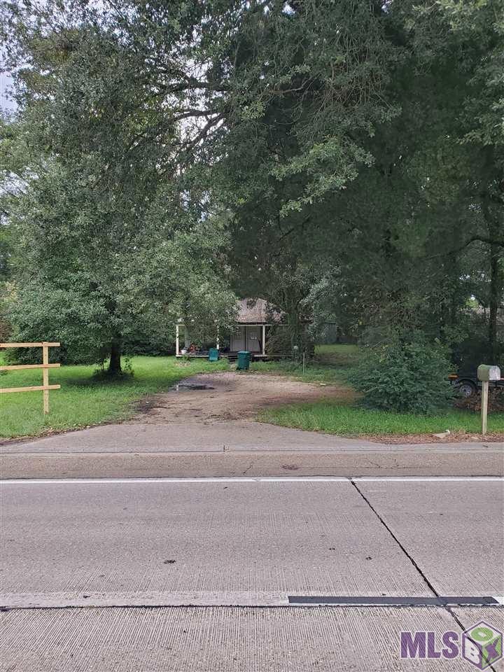
31460 La Hwy 16 Denham Springs, LA 70726
Estimated payment $1,315/month
Total Views
1,270
1.39
Acres
$161,871
Price per Acre
60,548
Sq Ft Lot
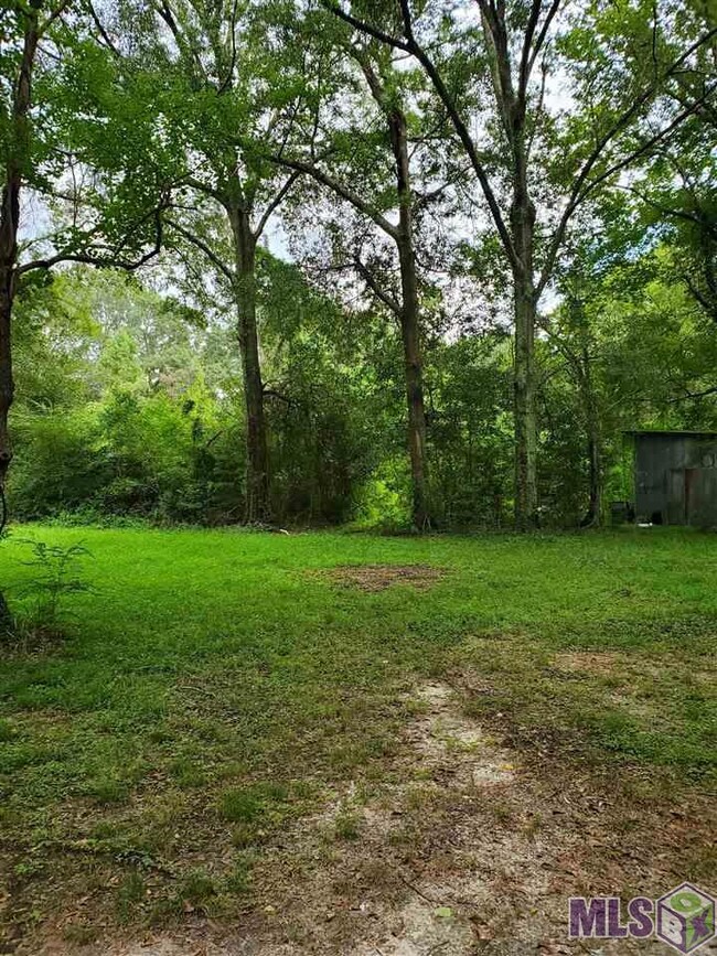
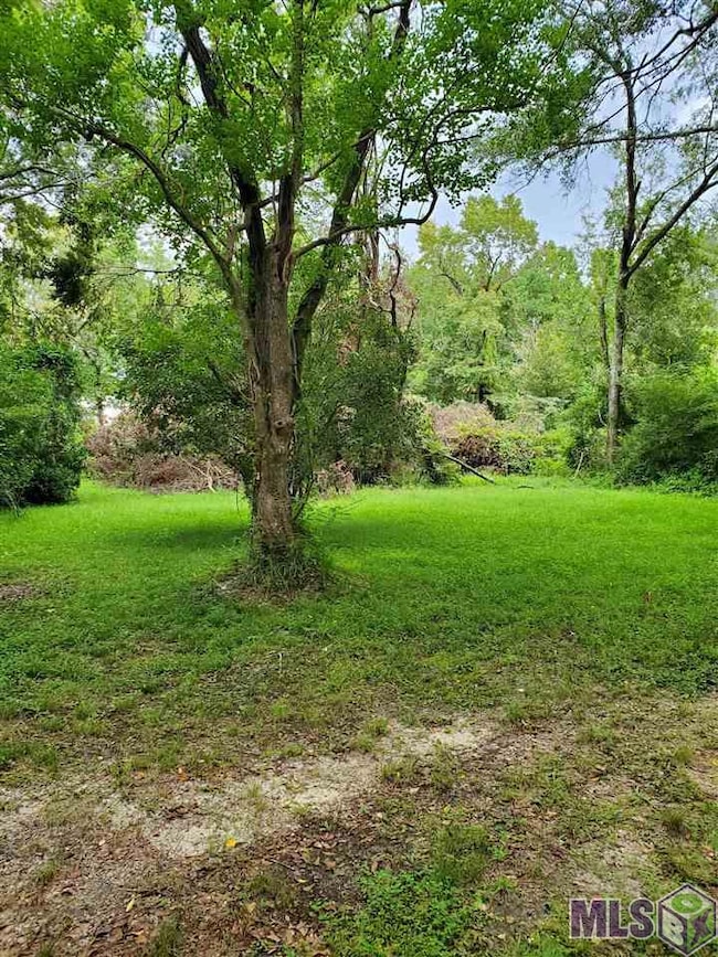
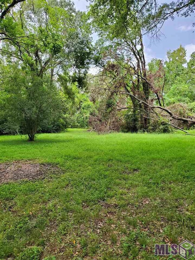
About This Lot
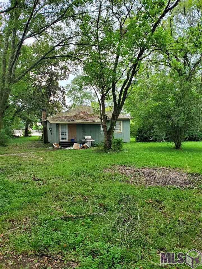
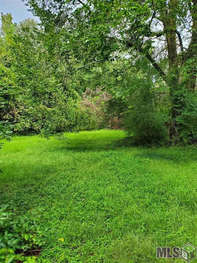
Approximately 1.4 acres with road frontage on La Hwy 16. This is a great opportunity that has a ton of potential. There are several thriving businesses at this heavily commuted part of town. There are quite a few thriving businesses located at or near this intersection; from fast food restaurants, banks, coffee shops, gas stations and several others. There is a 2 bed / 1 bath 960 living sqft house on the property that is occupied with a tenant. The house has no value; the value is in the land.
Map
Property Details
Property Type
Land
Est. Annual Taxes
$869
Lot Details
0
Listing Details
- Property Sub Type: Commercial
- Prop. Type: Land
- Horses: No
- Lot Size Acres: 1.39
- Lot Size: 105 x 338 x 174 x 22 x 116 x 115 x 72 x 56 x 15
- Road Frontage Type: State Road
- Road Surface Type: State Road
- Subdivision Name: Rural Tract (NO Subd)
- Directions: Traveling north on LA HWY 16 going towards Watson, the property is on the right before you get to LA HWY 1026 (Lockhart Rd). The property is right past Violet St.
- Special Features: None
Interior Features
- Possible Use: Multi-Family, Single Family
Exterior Features
- Lot Features: Level, Rural, Cleared
Utilities
- Electricity On Property: Yes
- Utilities: Electricity Connected, Natural Gas Connected
Schools
- Junior High Dist: Livingston Parish
Lot Info
- Current Use: Commercial
- Lot Size Sq Ft: 60548.4
- Crops Included: No
- Wooded Area: 30
Tax Info
- Tax Lot: 0
Create a Home Valuation Report for This Property
The Home Valuation Report is an in-depth analysis detailing your home's value as well as a comparison with similar homes in the area
Home Values in the Area
Average Home Value in this Area
Tax History
| Year | Tax Paid | Tax Assessment Tax Assessment Total Assessment is a certain percentage of the fair market value that is determined by local assessors to be the total taxable value of land and additions on the property. | Land | Improvement |
|---|---|---|---|---|
| 2024 | $869 | $8,050 | $3,730 | $4,320 |
| 2023 | $635 | $5,240 | $2,910 | $2,330 |
| 2022 | $639 | $5,240 | $2,910 | $2,330 |
| 2021 | $641 | $5,240 | $2,910 | $2,330 |
| 2020 | $634 | $5,240 | $2,910 | $2,330 |
| 2019 | $572 | $4,830 | $2,240 | $2,590 |
| 2018 | $580 | $4,830 | $2,240 | $2,590 |
| 2017 | $562 | $4,700 | $2,240 | $2,460 |
| 2015 | $620 | $5,180 | $1,940 | $3,240 |
| 2014 | $635 | $5,180 | $1,940 | $3,240 |
Source: Public Records
Property History
| Date | Event | Price | Change | Sq Ft Price |
|---|---|---|---|---|
| 10/13/2024 10/13/24 | For Sale | $225,000 | -4.3% | -- |
| 02/25/2023 02/25/23 | Off Market | -- | -- | -- |
| 10/20/2022 10/20/22 | For Sale | $235,000 | -- | -- |
Source: Greater Baton Rouge Association of REALTORS®
Source: Greater Baton Rouge Association of REALTORS®
MLS Number: BR2022016136
APN: 0065813
Nearby Homes
- 11882 Wildebeest Ridge Dr
- 21454 Louisiana 16
- 13773 Ruth Ln
- 21255 Walker Rd S Unit 27
- 22061 Walker South Rd
- 13333 Hammack Rd
- SC-1-A & B Hammack Rd
- 13981 Vincent Place Ave
- 13821 Cantebury Ave
- TBD Vincent Place Ave
- 13965 Creekstone Dr
- 14253 Oakwood Ln
- 22753 Balsam Dr
- 22841 Balsam Dr
- 19905 Stone Hill Dr
- 13864 Colt Dr
- 12047 Hammack Rd
- 13837 Cobblestone Dr
- 13795 Shady Hollow Dr
- 13088 Catahoula Dr
- 22858 Balsam Dr
- 22870 Balsam Dr
- 13730 Willowmore Dr
- 13754 Willowmore Dr
- 13772 Willowmore Dr
- 13724 Willowmore Dr
- 22869 Monterey Ave
- 22833 Monterey Ave
- 23125 Cinder Dr
- 23436 Mango Dr
- 14088 Arbor Walk Dr
- 13962 Colt Dr
- 13896 Colt Dr
- 23467 Conifer Dr
- 13876 Calle Sevario Dr
- 18620 Bayside Dr
- 18154 Terraceside Dr
- 23674 Sweetbriar Ct
- 11547 Marlene Ave
- 17544 Soaring Flight Dr
