3147 Barto Rd Waldron, AR 72958
Estimated Value: $195,000 - $609,406
Studio
--
Bath
--
Sq Ft
871,200
Sq Ft Lot
About This Home
This home is located at 3147 Barto Rd, Waldron, AR 72958 and is currently estimated at $402,203. 3147 Barto Rd is a home located in Scott County with nearby schools including Waldron Elementary School, Waldron Middle School, and Waldron High School.
Ownership History
Date
Name
Owned For
Owner Type
Purchase Details
Closed on
Aug 1, 2019
Sold by
Mcgarrah James E and Mcgarrah Arlene
Bought by
Sparks Milton Dale and Sparks Abbie Nicole
Current Estimated Value
Home Financials for this Owner
Home Financials are based on the most recent Mortgage that was taken out on this home.
Original Mortgage
$205,000
Outstanding Balance
$86,107
Interest Rate
3.8%
Mortgage Type
Commercial
Estimated Equity
$316,096
Purchase Details
Closed on
Sep 7, 2000
Bought by
Khamphouy
Purchase Details
Closed on
Jun 16, 1994
Bought by
Mitchell Dorothy
Create a Home Valuation Report for This Property
The Home Valuation Report is an in-depth analysis detailing your home's value as well as a comparison with similar homes in the area
Purchase History
| Date | Buyer | Sale Price | Title Company |
|---|---|---|---|
| Sparks Milton Dale | $400,000 | Scott County Title Corp | |
| Sparks Abbie | $400,000 | Scott Cnty Title Corp | |
| Khamphouy | $183,000 | -- | |
| Mitchell Dorothy | $184,000 | -- |
Source: Public Records
Mortgage History
| Date | Status | Borrower | Loan Amount |
|---|---|---|---|
| Open | Sparks Abbie | $205,000 | |
| Closed | Sparks Abbie | $205,000 |
Source: Public Records
Tax History
| Year | Tax Paid | Tax Assessment Tax Assessment Total Assessment is a certain percentage of the fair market value that is determined by local assessors to be the total taxable value of land and additions on the property. | Land | Improvement |
|---|---|---|---|---|
| 2025 | $851 | $22,170 | $690 | $21,480 |
| 2024 | $851 | $22,170 | $690 | $21,480 |
| 2023 | $852 | $22,170 | $690 | $21,480 |
| 2022 | $852 | $22,170 | $690 | $21,480 |
| 2021 | $1,623 | $42,250 | $680 | $41,570 |
| 2020 | $1,622 | $42,250 | $680 | $41,570 |
| 2019 | $1,248 | $42,250 | $680 | $41,570 |
| 2018 | $1,273 | $42,250 | $680 | $41,570 |
| 2017 | $1,622 | $41,570 | $680 | $40,890 |
| 2015 | -- | $42,010 | $580 | $41,430 |
| 2014 | -- | $42,010 | $580 | $41,430 |
| 2013 | -- | $42,010 | $580 | $41,430 |
Source: Public Records
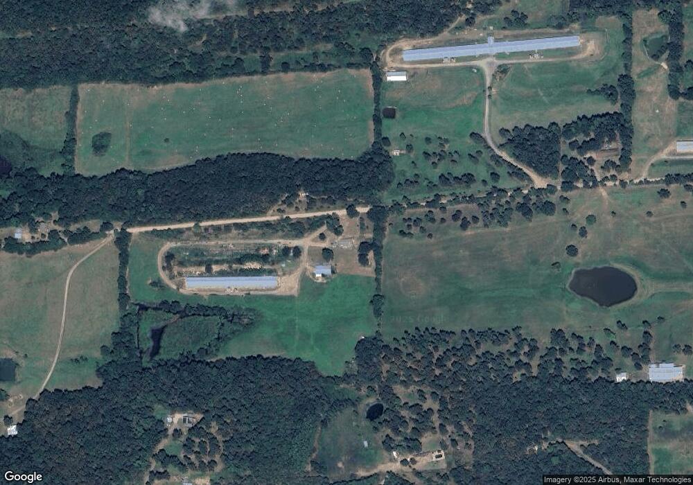
Map
Nearby Homes
- 2660 Johnny Tate Rd
- 4682 Barto Rd
- 1565 White oak White Oak Rd
- 2541 N Main St
- 1347 White Oak Rd
- Lot 23 Grandstaff Ave
- Lot 15 Grandstaff Ave
- Lot 4 Grandstaff Ave
- Lot 2 Grandstaff Ave
- Lot 14 Grandstaff Ave
- Lot 1 Grandstaff Ave
- 772 N Main St
- 1 Poteau Mountain Rd
- 1342 N Main St
- 1 Highway 71
- 176 Highway 71 N
- 0000 Highway 71
- 6 Lots Northgate Subdivision
- 25 Lots Country Elite Estates
- 124 City Lake Rd
- TBD Off Barto Rd
- 2992 W Highway 28
- 3501 Barto Rd
- 2760 Barto Rd
- 2738 W Highway 28
- 3330 W Highway 28
- 3610 Barto Rd
- 2402 Barto Rd
- 3644 W Highway 28
- 2376 W Highway 28
- 2533 W Highway 28
- 2421 W Highway 28
- 4146 Barto Rd
- 4099 W Highway 28
- 2112 W Highway 28
- 2165 W Highway 28
- 5400 Valley View Rd
- 4330 Redbud Rd
- 2769 W Highway 28
- 2065 W Highway 28
Your Personal Tour Guide
Ask me questions while you tour the home.