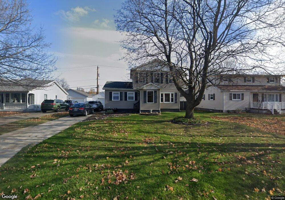
3148 10th Ave Port Huron, MI 48060
Estimated Value: $230,000 - $246,000
3
Beds
3
Baths
1,709
Sq Ft
$139/Sq Ft
Est. Value
About This Home
This home is located at 3148 10th Ave, Port Huron, MI 48060 and is currently estimated at $238,343, approximately $139 per square foot. 3148 10th Ave is a home located in St. Clair County with nearby schools including Garfield Elementary School, Holland Woods Middle School, and Port Huron Northern High School.
Ownership History
Date
Name
Owned For
Owner Type
Purchase Details
Closed on
Sep 15, 2025
Sold by
Smith Scott
Bought by
Smith Scott C and Smith Sarah L
Current Estimated Value
Purchase Details
Closed on
Feb 26, 2010
Sold by
Scott Julie L and Smith Scott C
Bought by
Smith Scott C
Purchase Details
Closed on
Nov 9, 2009
Sold by
Smith Barbara E
Bought by
Smith Barbara E and The Barbara E Smith Revocable Trust
Create a Home Valuation Report for This Property
The Home Valuation Report is an in-depth analysis detailing your home's value as well as a comparison with similar homes in the area
Home Values in the Area
Average Home Value in this Area
Purchase History
| Date | Buyer | Sale Price | Title Company |
|---|---|---|---|
| Smith Scott C | -- | None Listed On Document | |
| Smith Scott C | -- | None Available | |
| Smith Barbara E | -- | None Available |
Source: Public Records
Tax History
| Year | Tax Paid | Tax Assessment Tax Assessment Total Assessment is a certain percentage of the fair market value that is determined by local assessors to be the total taxable value of land and additions on the property. | Land | Improvement |
|---|---|---|---|---|
| 2025 | $2,246 | $113,800 | $0 | $0 |
| 2024 | $2,190 | $104,300 | $0 | $0 |
| 2023 | $2,069 | $92,100 | $0 | $0 |
| 2022 | $2,194 | $81,900 | $0 | $0 |
| 2020 | $2,106 | $65,700 | $65,700 | $0 |
| 2019 | $2,069 | $57,600 | $0 | $0 |
| 2018 | $2,023 | $57,600 | $0 | $0 |
| 2017 | $1,806 | $52,000 | $0 | $0 |
| 2016 | $1,548 | $52,000 | $0 | $0 |
| 2015 | $1,519 | $46,400 | $46,400 | $0 |
| 2014 | $1,519 | $42,600 | $42,600 | $0 |
| 2013 | -- | $41,700 | $0 | $0 |
Source: Public Records
Map
Nearby Homes
- 3321 Stone St
- 1020 Sanborn St
- 2925 Linda Ct
- 1813 N Woodland Dr
- 1828 Kennelworth Dr
- 3455 Gratiot Ave
- 810 Holland Ave Unit 8
- 3142 Wright St
- 3444 Riverside Dr
- 2224 Garfield St
- 2400 Stone St Unit 2414
- 2215 Hancock St
- 2008 Elmwood St
- 2857 Riverside Dr
- 3945 Butternut Ct
- 3515 Strawberry Ln
- 2549 Riverwood Dr
- 1907 Riverside Dr
- 2838 Elmwood St
- 1649 Whipple St
- 3164 10th Ave
- 1303 Florida Ave
- 3170 10th Ave
- 3144 10th Ave
- 3174 10th Ave
- 3171 Poplar St
- 1302 Florida Ave Ave
- 3180 10th Ave
- 1306 Florida Ave
- 1302 Florida Ave
- 3179 Poplar St
- 3200 Poplar St
- 3148 Poplar St
- 3132 10th Ave
- 3202 Poplar St
- 3206 Poplar St
- 3200 10th Ave
- 3206 10th Ave
- 3165 10th Ave
- 3133 Poplar St