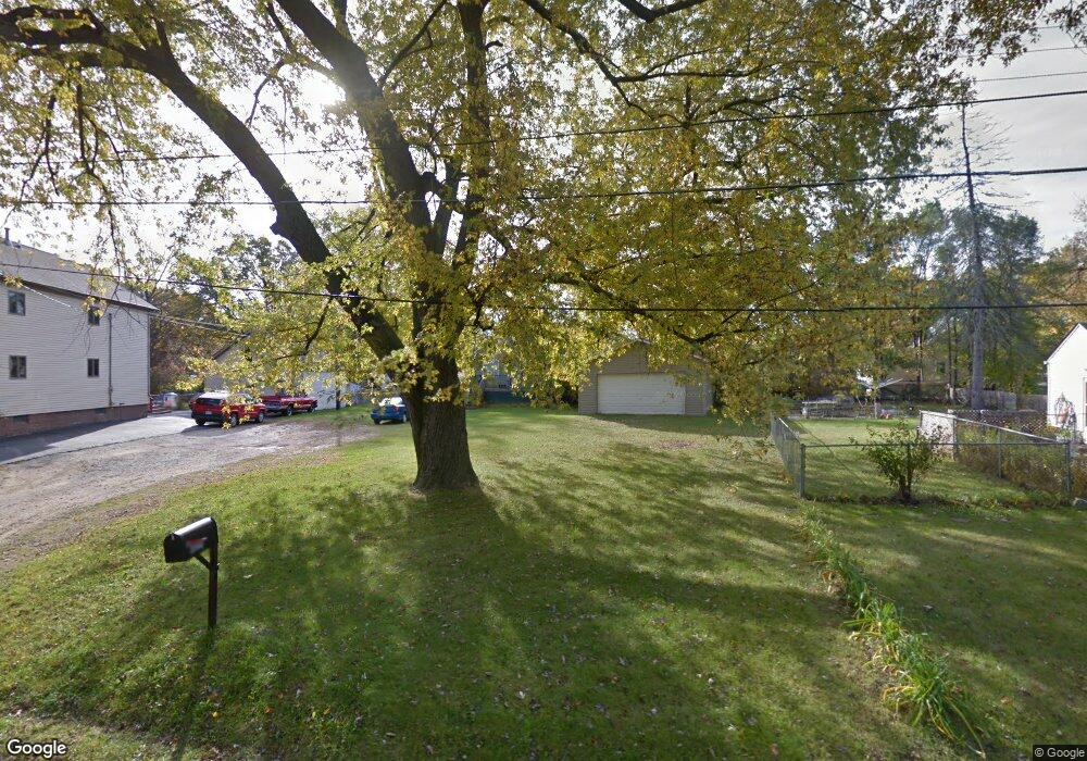
3148 Carr St Flint, MI 48506
Northeast Flint NeighborhoodEstimated Value: $73,000 - $119,000
Studio
--
Bath
1,120
Sq Ft
$85/Sq Ft
Est. Value
About This Home
This home is located at 3148 Carr St, Flint, MI 48506 and is currently estimated at $95,058, approximately $84 per square foot. 3148 Carr St is a home located in Genesee County with nearby schools including Weston Elementary School, Kate Dowdall Elementary School, and Leota Fiedler Elementary School.
Ownership History
Date
Name
Owned For
Owner Type
Purchase Details
Closed on
Oct 6, 2014
Sold by
Genesee County Treasurer
Bought by
Blaze Daquan
Current Estimated Value
Purchase Details
Closed on
May 31, 2007
Sold by
Estate Of Harry S Ward
Bought by
Johnson Ann M
Purchase Details
Closed on
May 25, 2007
Sold by
Ward Harry S
Bought by
Citizens Bank
Purchase Details
Closed on
Sep 19, 2000
Sold by
Merritt Leonard L and Merritt Laura
Bought by
Ward Harry S
Create a Home Valuation Report for This Property
The Home Valuation Report is an in-depth analysis detailing your home's value as well as a comparison with similar homes in the area
Home Values in the Area
Average Home Value in this Area
Purchase History
| Date | Buyer | Sale Price | Title Company |
|---|---|---|---|
| Blaze Daquan | $9,200 | None Available | |
| Johnson Ann M | $83,900 | Guaranty Title Company | |
| Citizens Bank | $65,382 | None Available | |
| Ward Harry S | $7,000 | -- |
Source: Public Records
Tax History
| Year | Tax Paid | Tax Assessment Tax Assessment Total Assessment is a certain percentage of the fair market value that is determined by local assessors to be the total taxable value of land and additions on the property. | Land | Improvement |
|---|---|---|---|---|
| 2025 | $2,182 | $42,300 | $0 | $0 |
| 2024 | $301 | $41,900 | $0 | $0 |
| 2023 | $288 | $35,600 | $0 | $0 |
| 2022 | $1,592 | $29,000 | $0 | $0 |
| 2021 | $1,584 | $26,200 | $0 | $0 |
| 2020 | $263 | $24,100 | $0 | $0 |
| 2019 | $259 | $22,300 | $0 | $0 |
| 2018 | $1,592 | $23,000 | $0 | $0 |
| 2017 | $1,394 | $24,200 | $0 | $0 |
| 2016 | $1,384 | $24,000 | $0 | $0 |
| 2015 | $1,246 | $24,000 | $0 | $0 |
| 2014 | $293 | $25,700 | $0 | $0 |
| 2012 | -- | $24,900 | $24,900 | $0 |
Source: Public Records
Map
Nearby Homes
- 2935 Richfield Rd
- 00 Richfield Rd
- 3006 Agree Ave
- 3294 Huggins Ave
- 3118 Wyoming Ave
- 3010 Wyoming Ave
- 4907 Delta Dr
- 3210 Wyoming Ave
- 3705 Aldon Ln
- 3364 E Pierson Rd
- 4808 Alpha Way
- 4923 Alpha Way
- 2825 Eaton Place
- 2727 Eaton Place
- 3018 Dakota Ave
- 3413 Dakota Ave
- 3456 E Pierson Rd
- 3314 Dakota Ave
- 3734 Craig Dr
- 2719 Branch Rd
Your Personal Tour Guide
Ask me questions while you tour the home.