3149 Jamie Dr Benton, AR 72019
Estimated Value: $245,518 - $300,000
Studio
2
Baths
1,510
Sq Ft
$176/Sq Ft
Est. Value
About This Home
This home is located at 3149 Jamie Dr, Benton, AR 72019 and is currently estimated at $265,880, approximately $176 per square foot. 3149 Jamie Dr is a home located in Saline County with nearby schools including Caldwell Elementary School, Benton Middle School, and Benton Junior High School.
Ownership History
Date
Name
Owned For
Owner Type
Purchase Details
Closed on
Oct 24, 2018
Sold by
Guyva Thomas Robert L and Guyva Thomas
Bought by
Thomas Scott and Robert And Guyva Thomas Irrevoacable Tr
Current Estimated Value
Purchase Details
Closed on
Dec 27, 2001
Bought by
Thomas
Purchase Details
Closed on
Aug 30, 2001
Bought by
Robinson
Purchase Details
Closed on
Jul 9, 2001
Bought by
Robinson
Purchase Details
Closed on
Jun 27, 2001
Bought by
Robinson
Purchase Details
Closed on
Jun 1, 1986
Bought by
Land Only
Create a Home Valuation Report for This Property
The Home Valuation Report is an in-depth analysis detailing your home's value as well as a comparison with similar homes in the area
Purchase History
| Date | Buyer | Sale Price | Title Company |
|---|---|---|---|
| Thomas Scott | -- | None Available | |
| Thomas | $112,000 | -- | |
| Robinson | -- | -- | |
| Robinson | $80,000 | -- | |
| Robinson | -- | -- | |
| Land Only | $7,000 | -- |
Source: Public Records
Tax History
| Year | Tax Paid | Tax Assessment Tax Assessment Total Assessment is a certain percentage of the fair market value that is determined by local assessors to be the total taxable value of land and additions on the property. | Land | Improvement |
|---|---|---|---|---|
| 2025 | $1,072 | $46,361 | $16,630 | $29,731 |
| 2024 | $1,072 | $46,361 | $16,630 | $29,731 |
| 2023 | $747 | $46,361 | $16,630 | $29,731 |
| 2022 | $797 | $46,361 | $16,630 | $29,731 |
| 2021 | $797 | $31,230 | $10,260 | $20,970 |
| 2020 | $747 | $31,230 | $10,260 | $20,970 |
| 2019 | $747 | $31,230 | $10,260 | $20,970 |
| 2018 | $651 | $26,430 | $5,460 | $20,970 |
| 2017 | $651 | $26,430 | $5,460 | $20,970 |
| 2016 | $951 | $25,670 | $5,460 | $20,210 |
| 2015 | $651 | $25,670 | $5,460 | $20,210 |
| 2014 | $651 | $18,430 | $5,460 | $12,970 |
Source: Public Records
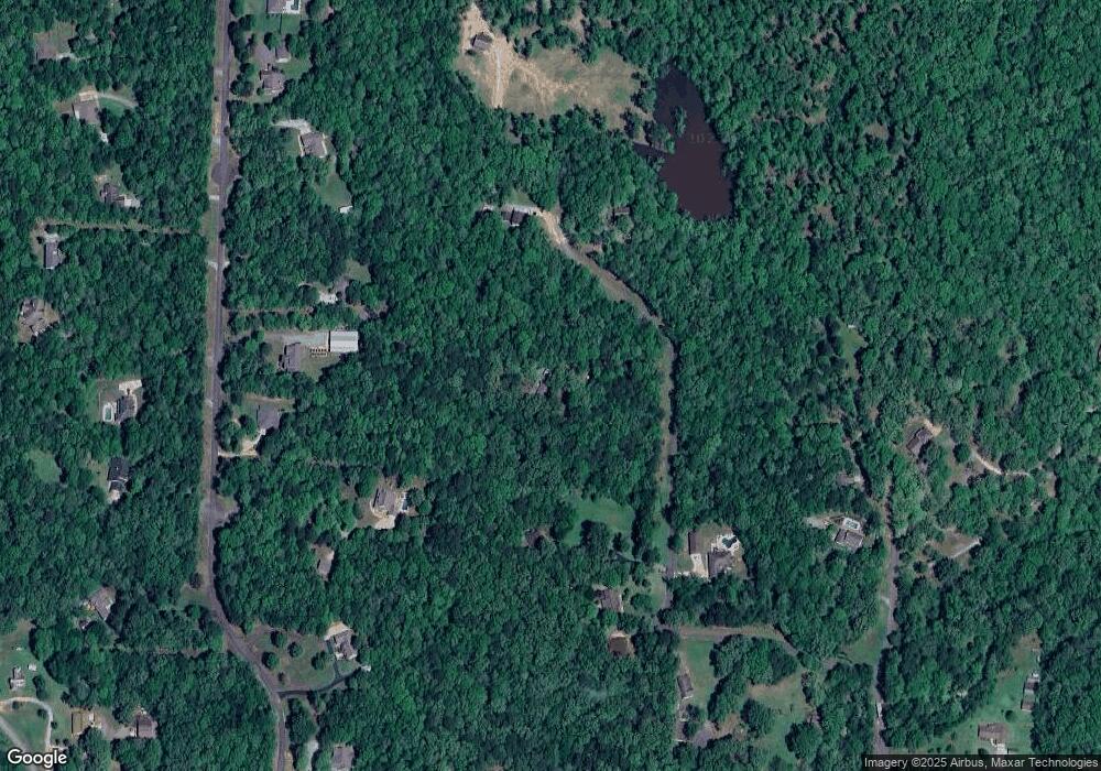
Map
Nearby Homes
- 31 Ac River Ridge Rd
- 522 Valley Hill Rd
- 400 Kale Cove
- 200 Middleton Place Dr
- 11224 Thompson Dairy Rd
- 301 Abrielle Ln
- 208 Middleton Place
- 288 Middleton Place Dr
- 280 Middleton Place Dr
- Lot 3 Abrielle Ln
- 1528 Brookshire Dr
- 10684 Hinds Rd
- 31 Ac. River Ridge Rd
- 6113 Fait Rd
- 208 Clearview
- 2480 Holly Ridge Cove
- 0 Steel Bridge Rd
- 8616 Old Congo Rd
- 1270 Fern Creek Dr
- 7008 Hannah Ln
- 3119 Jamie Dr
- 5977 Pelican Place
- 3261 Mcadoo Ln
- 3248 Jamie Dr
- 12938 Meadowridge Dr
- 12978 Meadowridge Dr
- 3101 Jamie Dr
- 3120 Jamie Dr
- 12960 Meadowridge Dr
- 12944 Meadowridge Dr
- 8529 Shimrod St
- 8517 Shimrod St
- 13002 Meadowridge Dr
- 13002 Meadowridge Dr
- 12878 Meadowridge Dr
- 8313 Shimrod St
- 8201 Codie Ln
- 8205 Codie Ln
- 8528 Shimrod St
- 8206 Codie Ln
Your Personal Tour Guide
Ask me questions while you tour the home.