3149 Lehman Rd West Branch, MI 48661
Estimated Value: $264,000 - $347,000
3
Beds
3
Baths
1,500
Sq Ft
$211/Sq Ft
Est. Value
About This Home
This home is located at 3149 Lehman Rd, West Branch, MI 48661 and is currently estimated at $316,254, approximately $210 per square foot. 3149 Lehman Rd is a home located in Ogemaw County with nearby schools including Surline Elementary School, Surline Middle School, and Ogemaw Heights High School.
Ownership History
Date
Name
Owned For
Owner Type
Purchase Details
Closed on
Jul 29, 2013
Sold by
Pillarelli Alfred M
Bought by
Hubbell Leslie D and Hubbell Geralyn S
Current Estimated Value
Home Financials for this Owner
Home Financials are based on the most recent Mortgage that was taken out on this home.
Original Mortgage
$45,000
Outstanding Balance
$10,701
Interest Rate
3.52%
Estimated Equity
$305,553
Purchase Details
Closed on
Oct 26, 2012
Sold by
Pillarelli Alfred M
Bought by
Pillarelli Alfred M
Purchase Details
Closed on
Jun 2, 2011
Sold by
Collins Jerie N
Bought by
Pilarelli Alfred M
Purchase Details
Closed on
Nov 18, 2005
Sold by
Grezeszak Wayne L and Grezeszak Velma D
Bought by
Collins Jerie N and Johnson Neely N
Create a Home Valuation Report for This Property
The Home Valuation Report is an in-depth analysis detailing your home's value as well as a comparison with similar homes in the area
Home Values in the Area
Average Home Value in this Area
Purchase History
| Date | Buyer | Sale Price | Title Company |
|---|---|---|---|
| Hubbell Leslie D | $100,000 | -- | |
| Pillarelli Alfred M | -- | -- | |
| Pilarelli Alfred M | $144,000 | -- | |
| Collins Jerie N | $184,000 | -- |
Source: Public Records
Mortgage History
| Date | Status | Borrower | Loan Amount |
|---|---|---|---|
| Open | Hubbell Leslie D | $45,000 |
Source: Public Records
Tax History Compared to Growth
Tax History
| Year | Tax Paid | Tax Assessment Tax Assessment Total Assessment is a certain percentage of the fair market value that is determined by local assessors to be the total taxable value of land and additions on the property. | Land | Improvement |
|---|---|---|---|---|
| 2025 | $1,909 | $142,900 | $0 | $0 |
| 2024 | $9 | $120,900 | $0 | $0 |
| 2023 | $1,773 | $105,800 | $0 | $0 |
| 2022 | $1,709 | $82,900 | $0 | $0 |
| 2021 | $1,600 | $75,300 | $0 | $0 |
| 2020 | $1,648 | $74,600 | $0 | $0 |
| 2019 | $1,398 | $69,500 | $0 | $0 |
| 2018 | $1,471 | $69,400 | $0 | $0 |
| 2017 | $1,355 | $67,100 | $0 | $0 |
| 2016 | $1,341 | $68,600 | $0 | $0 |
| 2015 | $1,337 | $62,800 | $0 | $0 |
| 2014 | $1,332 | $58,600 | $0 | $0 |
Source: Public Records
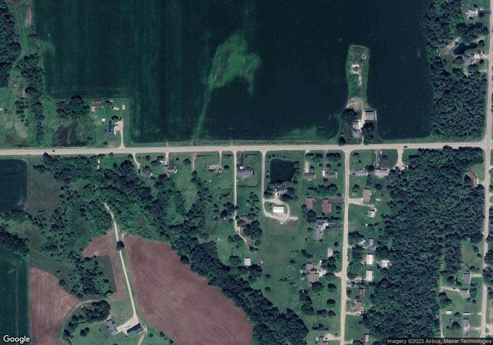
Map
Nearby Homes
- 2616 Wickes Rd
- 4334 Lehman Rd
- 4646 Lehman Rd
- 0 Crawford St Unit 2 1926452
- 0 Crawford St Unit 1926558
- 0 Crawford St Unit 1926483
- 0 Crawford St Unit 29 1926560
- 0 Crawford St Unit 1
- 0 Arthur Ct Unit 1926554
- 0 Arthur Ct Unit 1926537
- 0 Arthur Ct Unit 1926536
- 0 Arthur Ct Unit 1926540
- 0 Arthur Ct Unit 1926549
- 0 Arthur Ct Unit 1926541
- 0 Arthur Ct Unit 17 1926507
- 0 Arthur Ct Unit 1926545
- 0 Jonathan Ct Unit 11 1926460
- 0 Jonathan Ct Unit 12 1926461
- 0 Jonathan Ct Unit 1926470
- 0 Jonathan Ct Unit 10 1926458