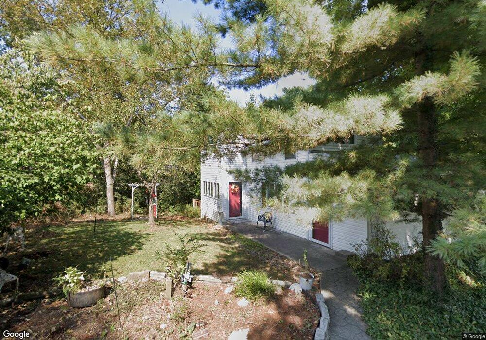
315 15th St Lancaster, OH 43130
Estimated Value: $103,000 - $136,000
3
Beds
2
Baths
1,132
Sq Ft
$100/Sq Ft
Est. Value
About This Home
This home is located at 315 15th St, Lancaster, OH 43130 and is currently estimated at $113,331, approximately $100 per square foot. 315 15th St is a home with nearby schools including General Sherman Junior High School, Lancaster High School, and St Mary Elementary School.
Ownership History
Date
Name
Owned For
Owner Type
Purchase Details
Closed on
Sep 29, 2020
Sold by
Ground Lancaster Camp
Bought by
Board Of Trustees Of The Lanca
Current Estimated Value
Home Financials for this Owner
Home Financials are based on the most recent Mortgage that was taken out on this home.
Interest Rate
2.86%
Purchase Details
Closed on
Sep 14, 2020
Sold by
Burgett Charleton
Bought by
John R Walker and Judith L Walker
Home Financials for this Owner
Home Financials are based on the most recent Mortgage that was taken out on this home.
Interest Rate
2.86%
Create a Home Valuation Report for This Property
The Home Valuation Report is an in-depth analysis detailing your home's value as well as a comparison with similar homes in the area
Home Values in the Area
Average Home Value in this Area
Purchase History
| Date | Buyer | Sale Price | Title Company |
|---|---|---|---|
| Board Of Trustees Of The Lanca | -- | None Listed On Document | |
| John R Walker | $100,000 | -- |
Source: Public Records
Mortgage History
| Date | Status | Borrower | Loan Amount |
|---|---|---|---|
| Closed | John R Walker | -- |
Source: Public Records
Tax History
| Year | Tax Paid | Tax Assessment Tax Assessment Total Assessment is a certain percentage of the fair market value that is determined by local assessors to be the total taxable value of land and additions on the property. | Land | Improvement |
|---|---|---|---|---|
| 2025 | $1,557 | $18,220 | -- | $18,220 |
| 2024 | $1,557 | $17,320 | -- | $17,320 |
| 2023 | $630 | $17,320 | -- | $17,320 |
| 2022 | $632 | $17,320 | $0 | $17,320 |
| 2021 | $540 | $13,850 | $0 | $13,850 |
| 2020 | $200 | $13,850 | $0 | $13,850 |
| 2019 | $181 | $13,850 | $0 | $13,850 |
| 2018 | $103 | $11,510 | $0 | $11,510 |
| 2017 | $103 | $11,510 | $0 | $11,510 |
| 2016 | $101 | $11,510 | $0 | $11,510 |
| 2015 | $84 | $10,990 | $0 | $10,990 |
| 2014 | $80 | $10,990 | $0 | $10,990 |
| 2013 | $80 | $10,990 | $0 | $10,990 |
Source: Public Records
Map
Nearby Homes
- 331 16th St
- 115 6th N
- 82 W 5th St
- 81 W 5th St
- 3 1st St
- 32 2nd St
- 1174 Creekview Ct Unit 9-1174
- 2286 W Fair Ave
- 842 Lambton Cir W
- 2412 W Fair Ave
- 2603 Misty Meadows Ave
- 0 W Fair Ave
- 1829 Beacon St
- 2547 W Fair Ave
- 1616 W Fair Ave
- 461 N Shoshone Dr
- 539 N Ohio Ave
- 1829 Shoshone Dr
- 215 Summitview Dr
- 2014 N Columbus St
Your Personal Tour Guide
Ask me questions while you tour the home.