Estimated Value: $56,668 - $166,000
3
Beds
4
Baths
1,594
Sq Ft
$69/Sq Ft
Est. Value
About This Home
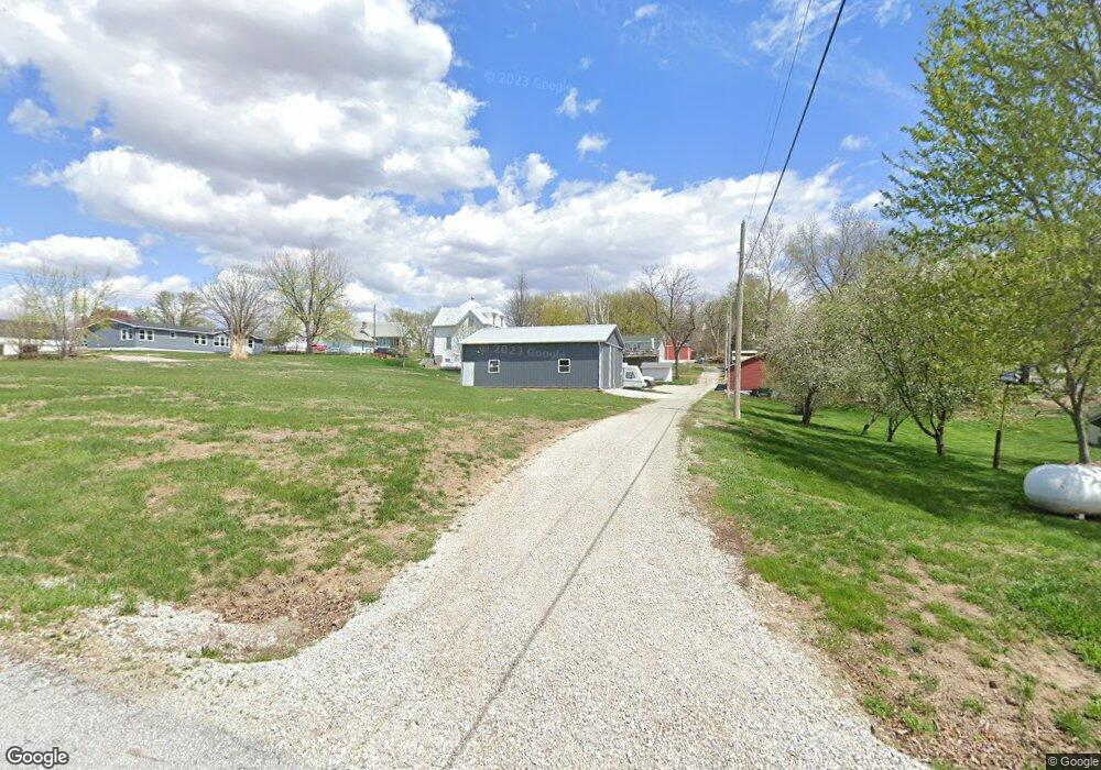
This home is located at 315 2nd St, Union, NE 68455 and is currently estimated at $110,667, approximately $69 per square foot. 315 2nd St is a home located in Cass County with nearby schools including Nebraska City Northside Elementary School, Hayward Elementary School, and Nebraska City Middle School.
Ownership History
Date
Name
Owned For
Owner Type
Purchase Details
Closed on
Aug 28, 2017
Sold by
Hollar Ruth A
Bought by
Hollar Marshall L
Current Estimated Value
Purchase Details
Closed on
Jul 21, 2006
Sold by
Allen Dallas Edward and Allen Riana Rebecca
Bought by
Hollar Marshall L and Hollar Ruth A
Purchase Details
Closed on
Jan 31, 2005
Sold by
Commercial Fed Bank Fsb Succ To
Bought by
Allen Dallas E and Allen Riana R
Purchase Details
Closed on
Oct 14, 2004
Sold by
Hogueison Jason R
Bought by
Commercial Fed Bank Fsb Succ To
Purchase Details
Closed on
Dec 18, 2003
Sold by
Hogueison Jason R
Bought by
Hogueison Jason R
Create a Home Valuation Report for This Property
The Home Valuation Report is an in-depth analysis detailing your home's value as well as a comparison with similar homes in the area
Purchase History
| Date | Buyer | Sale Price | Title Company |
|---|---|---|---|
| Hollar Marshall L | -- | None Available | |
| Hollar Marshall L | $12,000 | -- | |
| Allen Dallas E | $36,000 | -- | |
| Commercial Fed Bank Fsb Succ To | -- | -- | |
| Hogueison Jason R | -- | -- |
Source: Public Records
Tax History
| Year | Tax Paid | Tax Assessment Tax Assessment Total Assessment is a certain percentage of the fair market value that is determined by local assessors to be the total taxable value of land and additions on the property. | Land | Improvement |
|---|---|---|---|---|
| 2025 | $432 | $27,695 | $17,830 | $9,865 |
| 2024 | $405 | $27,470 | $17,830 | $9,640 |
| 2023 | $494 | $25,108 | $15,468 | $9,640 |
| 2022 | $599 | $28,610 | $16,241 | $12,369 |
| 2021 | $468 | $22,122 | $10,342 | $11,780 |
| 2020 | $550 | $25,543 | $11,066 | $14,477 |
| 2019 | $512 | $23,872 | $10,342 | $13,530 |
| 2018 | $515 | $23,872 | $10,342 | $13,530 |
| 2017 | $521 | $23,872 | $10,342 | $13,530 |
| 2016 | $515 | $23,872 | $10,342 | $13,530 |
| 2015 | $507 | $23,872 | $10,342 | $13,530 |
| 2014 | $651 | $28,889 | $16,244 | $12,645 |
Source: Public Records
Map
Nearby Homes
- 2109 W Shore Dr
- 910 Alt Hwy 75
- 415 & 401 Kaffenberger Dr
- 811 E Main St
- 103 E Main St
- 1360 Harvest Dr
- 2018 Murray Rd
- 1220 Murray Rd
- 8603 Pine Ct
- 8520 Lake Ridge Dr
- 1207 Beaver Lake Blvd
- 8611 12th Ave
- 1910 Murray Rd
- 1928 Murray Rd
- 8504 Lake Ridge Dr
- 1940 Murray Rd
- 1714 Murray Rd
- 1831 Lake Ridge Dr
- 1948 Murray Rd
- 8617 12th Ave
Your Personal Tour Guide
Ask me questions while you tour the home.