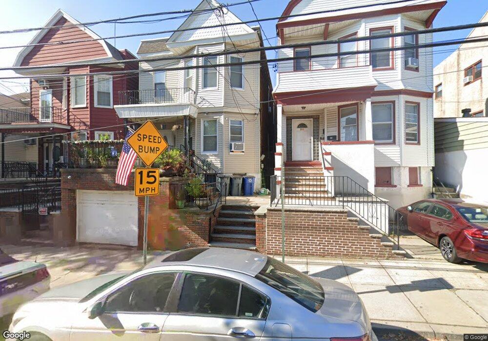
315 4th St Unit 2 Union City, NJ 07087
Estimated Value: $710,000 - $990,000
3
Beds
1
Bath
900
Sq Ft
$911/Sq Ft
Est. Value
About This Home
This home is located at 315 4th St Unit 2, Union City, NJ 07087 and is currently estimated at $820,284, approximately $911 per square foot. 315 4th St Unit 2 is a home located in Hudson County with nearby schools including Thomas A. Edison Elementary School, Sara M. Gilmore Academy, and Emerson Middle School.
Ownership History
Date
Name
Owned For
Owner Type
Purchase Details
Closed on
Oct 27, 2022
Sold by
Depaul Robert M
Bought by
Depaul Robert M and Depaul Isabel
Current Estimated Value
Purchase Details
Closed on
Jun 10, 2002
Sold by
Ciucci Darryl F and Depaul Robert M
Bought by
Depaul Robert M
Home Financials for this Owner
Home Financials are based on the most recent Mortgage that was taken out on this home.
Original Mortgage
$132,000
Interest Rate
6.92%
Create a Home Valuation Report for This Property
The Home Valuation Report is an in-depth analysis detailing your home's value as well as a comparison with similar homes in the area
Home Values in the Area
Average Home Value in this Area
Purchase History
| Date | Buyer | Sale Price | Title Company |
|---|---|---|---|
| Depaul Robert M | -- | -- | |
| Depaul Robert M | -- | None Listed On Document | |
| Depaul Robert M | -- | -- |
Source: Public Records
Mortgage History
| Date | Status | Borrower | Loan Amount |
|---|---|---|---|
| Previous Owner | Depaul Robert M | $132,000 |
Source: Public Records
Tax History Compared to Growth
Tax History
| Year | Tax Paid | Tax Assessment Tax Assessment Total Assessment is a certain percentage of the fair market value that is determined by local assessors to be the total taxable value of land and additions on the property. | Land | Improvement |
|---|---|---|---|---|
| 2025 | $10,855 | $600,300 | $307,500 | $292,800 |
| 2024 | $12,970 | $587,400 | $300,000 | $287,400 |
| 2023 | $12,970 | $168,700 | $85,500 | $83,200 |
| 2022 | $12,502 | $168,700 | $85,500 | $83,200 |
| 2021 | $12,459 | $168,700 | $85,500 | $83,200 |
| 2020 | $12,317 | $168,700 | $85,500 | $83,200 |
| 2019 | $11,983 | $168,700 | $85,500 | $83,200 |
| 2018 | $11,758 | $168,700 | $85,500 | $83,200 |
| 2017 | $11,647 | $168,700 | $85,500 | $83,200 |
| 2016 | $11,623 | $168,700 | $85,500 | $83,200 |
| 2015 | $10,992 | $168,700 | $85,500 | $83,200 |
| 2014 | $10,748 | $168,700 | $85,500 | $83,200 |
Source: Public Records
Map
Nearby Homes
- 301 Palisade Ave Unit 6B
- 419 3rd St
- 500 New York Ave
- 206 Bergenline Ave
- 308 5th St
- 520 New York Ave Unit 2
- 415 6th St
- 508 2nd St Unit 2B
- 302 6th St
- 605 New York Ave Unit 301
- 317 7th St
- 315 7th St Unit 501
- 315 7th St Unit 301
- 200 Paterson Plank Rd Unit 504
- 418 7th St
- 517 7th St Unit 2C
- 100 Manhattan Ave Unit 2209
- 100 Manhattan Ave Unit 416
- 100 Manhattan Ave Unit 1104
- 100 Manhattan Ave Unit 1207