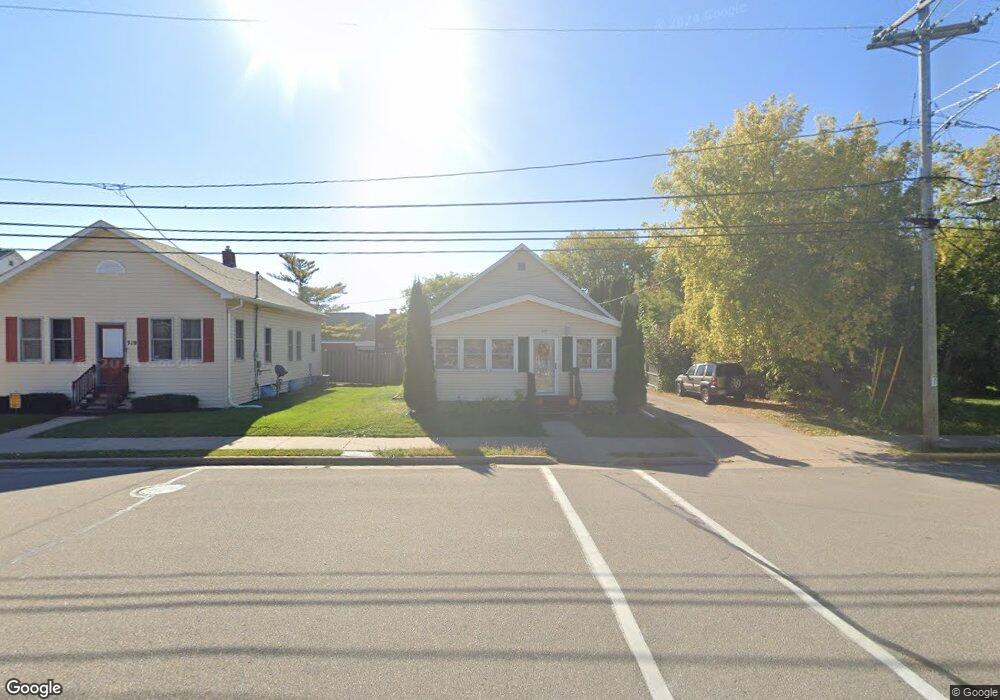
315 6th St Menasha, WI 54952
Estimated Value: $173,000 - $184,000
2
Beds
1
Bath
1,104
Sq Ft
$162/Sq Ft
Est. Value
About This Home
This home is located at 315 6th St, Menasha, WI 54952 and is currently estimated at $179,178, approximately $162 per square foot. 315 6th St is a home located in Winnebago County with nearby schools including Menasha High School, Fox Valley Virtual School, and Trinity Lutheran School.
Ownership History
Date
Name
Owned For
Owner Type
Purchase Details
Closed on
Dec 26, 2013
Sold by
Bank Of America Na
Bought by
Millgrove Llc
Current Estimated Value
Purchase Details
Closed on
Jun 5, 2013
Sold by
Riste Timothy L
Bought by
Bank Of American Na
Purchase Details
Closed on
May 12, 2009
Sold by
Sanderson Robert P and Sanderson Florence D
Bought by
Riste Timothy L
Home Financials for this Owner
Home Financials are based on the most recent Mortgage that was taken out on this home.
Original Mortgage
$82,968
Interest Rate
4.9%
Mortgage Type
FHA
Create a Home Valuation Report for This Property
The Home Valuation Report is an in-depth analysis detailing your home's value as well as a comparison with similar homes in the area
Home Values in the Area
Average Home Value in this Area
Purchase History
| Date | Buyer | Sale Price | Title Company |
|---|---|---|---|
| Millgrove Llc | $48,500 | Bay National Title Co | |
| Bank Of American Na | $90,922 | None Available | |
| Riste Timothy L | $84,500 | None Available |
Source: Public Records
Mortgage History
| Date | Status | Borrower | Loan Amount |
|---|---|---|---|
| Previous Owner | Riste Timothy L | $82,968 |
Source: Public Records
Tax History Compared to Growth
Tax History
| Year | Tax Paid | Tax Assessment Tax Assessment Total Assessment is a certain percentage of the fair market value that is determined by local assessors to be the total taxable value of land and additions on the property. | Land | Improvement |
|---|---|---|---|---|
| 2024 | $2,505 | $137,200 | $22,500 | $114,700 |
| 2023 | $2,575 | $108,000 | $20,000 | $88,000 |
| 2022 | $2,483 | $108,000 | $20,000 | $88,000 |
| 2021 | $2,299 | $97,800 | $20,000 | $77,800 |
| 2020 | $2,298 | $90,100 | $20,000 | $70,100 |
| 2019 | $2,188 | $90,100 | $20,000 | $70,100 |
| 2018 | $2,154 | $79,300 | $15,400 | $63,900 |
| 2017 | $2,106 | $79,300 | $15,400 | $63,900 |
| 2016 | $2,074 | $79,300 | $15,400 | $63,900 |
| 2015 | $1,989 | $75,100 | $15,400 | $59,700 |
| 2014 | $1,978 | $75,100 | $15,400 | $59,700 |
| 2013 | $2,476 | $75,100 | $15,400 | $59,700 |
Source: Public Records
Map
Nearby Homes