Estimated Value: $205,000 - $234,000
3
Beds
1
Bath
1,040
Sq Ft
$210/Sq Ft
Est. Value
About This Home
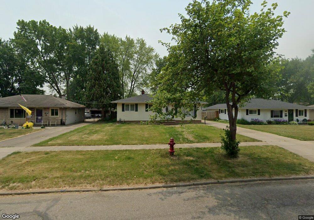
This home is located at 315 Buckeye Dr, Berea, OH 44017 and is currently estimated at $217,972, approximately $209 per square foot. 315 Buckeye Dr is a home located in Cuyahoga County with nearby schools including Grindstone Elementary School, Berea-Midpark Middle School, and Berea-Midpark High School.
Ownership History
Date
Name
Owned For
Owner Type
Purchase Details
Closed on
Aug 19, 2020
Sold by
Estate Of Edward James Milton
Bought by
Milton Dawn M
Current Estimated Value
Purchase Details
Closed on
Jun 16, 1995
Sold by
Homer Christie A
Bought by
Milton Edward J
Purchase Details
Closed on
Jun 7, 1993
Sold by
Rudoff Robert P and Rudoff Barbara J
Bought by
Milton Edward J
Purchase Details
Closed on
Jan 1, 1975
Bought by
Rudoff Robert P and Rudoff Barbara J
Create a Home Valuation Report for This Property
The Home Valuation Report is an in-depth analysis detailing your home's value as well as a comparison with similar homes in the area
Home Values in the Area
Average Home Value in this Area
Purchase History
| Date | Buyer | Sale Price | Title Company |
|---|---|---|---|
| Milton Dawn M | -- | None Available | |
| Milton Edward J | $48,514 | -- | |
| Milton Edward J | $97,000 | -- | |
| Rudoff Robert P | -- | -- |
Source: Public Records
Tax History
| Year | Tax Paid | Tax Assessment Tax Assessment Total Assessment is a certain percentage of the fair market value that is determined by local assessors to be the total taxable value of land and additions on the property. | Land | Improvement |
|---|---|---|---|---|
| 2024 | $3,649 | $63,105 | $13,300 | $49,805 |
| 2023 | $3,201 | $46,350 | $10,750 | $35,600 |
| 2022 | $3,181 | $46,340 | $10,745 | $35,595 |
| 2021 | $3,154 | $46,340 | $10,750 | $35,600 |
| 2020 | $3,012 | $39,270 | $9,100 | $30,170 |
| 2019 | $2,932 | $112,200 | $26,000 | $86,200 |
| 2018 | $2,919 | $39,270 | $9,100 | $30,170 |
| 2017 | $3,042 | $38,020 | $7,740 | $30,280 |
| 2016 | $3,019 | $38,020 | $7,740 | $30,280 |
| 2015 | $3,003 | $38,020 | $7,740 | $30,280 |
| 2014 | $3,003 | $40,010 | $8,160 | $31,850 |
Source: Public Records
Map
Nearby Homes
- 428 Park Place
- 379 Laurel Dr
- 487 Karen Dr
- 446 Redwood Dr
- 445 Berea St
- 146 Marian Ln
- 628 Lindbergh Blvd
- 404 Crescent Dr
- 160 Marian Ln Unit 6A
- 160 Stonepointe Dr
- 93 W 5th Ave
- 725 Shakespeare Dr
- 211 W Bridge St
- 216 Kraft St
- 287 Edgewood Dr
- 300 West St
- 209 Gibson St
- 41 W 5th Ave
- 388 Fairwood Cir
- 56 3rd Ave
- 309 Buckeye Dr
- 321 Buckeye Dr
- 303 Buckeye Dr
- 327 Buckeye Dr
- 320 Butternut Ln
- 314 Butternut Ln
- 403 Hazel Dr
- 324 Butternut Ln
- 310 Butternut Ln
- 297 Buckeye Dr
- 333 Buckeye Dr
- 330 Butternut Ln
- 304 Butternut Ln
- 402 Pecan Dr
- 407 Hazel Dr
- 334 Butternut Ln
- 298 Butternut Ln
- 291 Buckeye Dr
- 339 Buckeye Dr
- 406 Pecan Dr
Your Personal Tour Guide
Ask me questions while you tour the home.