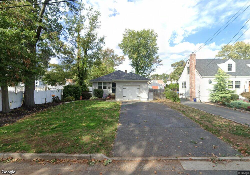
315 Clifford St South Plainfield, NJ 07080
Estimated Value: $473,465 - $620,000
--
Bed
--
Bath
--
Sq Ft
7,492
Sq Ft Lot
About This Home
This home is located at 315 Clifford St, South Plainfield, NJ 07080 and is currently estimated at $549,366. 315 Clifford St is a home located in Middlesex County with nearby schools including South Plainfield High School, The Queen City Academy Charter School, and Koinonia Academy.
Ownership History
Date
Name
Owned For
Owner Type
Purchase Details
Closed on
Nov 10, 1998
Sold by
Apgar Ruth
Bought by
Massett Peter and Massett Jana
Current Estimated Value
Home Financials for this Owner
Home Financials are based on the most recent Mortgage that was taken out on this home.
Original Mortgage
$118,750
Outstanding Balance
$26,125
Interest Rate
6.68%
Estimated Equity
$523,241
Create a Home Valuation Report for This Property
The Home Valuation Report is an in-depth analysis detailing your home's value as well as a comparison with similar homes in the area
Home Values in the Area
Average Home Value in this Area
Purchase History
| Date | Buyer | Sale Price | Title Company |
|---|---|---|---|
| Massett Peter | $125,000 | -- |
Source: Public Records
Mortgage History
| Date | Status | Borrower | Loan Amount |
|---|---|---|---|
| Open | Massett Peter | $118,750 |
Source: Public Records
Tax History Compared to Growth
Tax History
| Year | Tax Paid | Tax Assessment Tax Assessment Total Assessment is a certain percentage of the fair market value that is determined by local assessors to be the total taxable value of land and additions on the property. | Land | Improvement |
|---|---|---|---|---|
| 2025 | $6,842 | $98,000 | $31,000 | $67,000 |
| 2024 | $6,544 | $98,000 | $31,000 | $67,000 |
| 2023 | $6,544 | $98,000 | $31,000 | $67,000 |
| 2022 | $6,463 | $98,000 | $31,000 | $67,000 |
| 2021 | $6,311 | $98,000 | $31,000 | $67,000 |
| 2020 | $6,219 | $98,000 | $31,000 | $67,000 |
| 2019 | $5,967 | $98,000 | $31,000 | $67,000 |
| 2018 | $5,813 | $98,000 | $31,000 | $67,000 |
| 2017 | $5,739 | $98,000 | $31,000 | $67,000 |
| 2016 | $5,681 | $98,000 | $31,000 | $67,000 |
| 2015 | $5,583 | $98,000 | $31,000 | $67,000 |
| 2014 | $5,422 | $98,000 | $31,000 | $67,000 |
Source: Public Records
Map
Nearby Homes
- 1712 Kenyon Ave
- 1400 Kenyon Ave
- 1726 Kenyon Ave
- 127 Remington Ave Unit 31
- 105 Firth St
- 1210 Field Ave
- 132 Parkside Rd
- 1066 Allenwood Dr
- 77 Parkside Rd Unit 89
- 533 Edgar Ave
- 507 Cedarbrook Ave
- 1221 Grant Ave Unit 23
- 1210 Maltby Ave
- 814 Sherman Ave Unit 18
- 909 Sherman Ave
- 551 Melrose Ave
- 260 Merchants Ave
- 241 Van Fleet Ave
- 916 Sherman Ave
- 905 Stelle Ave Unit 7
- 319 Clifford St
- 1519 Central Ave
- 1521 Central Ave
- 1509 Central Ave
- 325 Clifford St
- 314 Firth St
- 318 Firth St
- 1507 Central Ave
- 324 Firth St
- 1601 Central Ave
- 328 Firth St
- 1503 Central Ave
- 314 Clifford St
- 310 Clifford St
- 320 Clifford St
- 1607 Central Ave
- 324 Clifford St
- 332 Firth St
- 337 Clifford St
- 336 Firth St