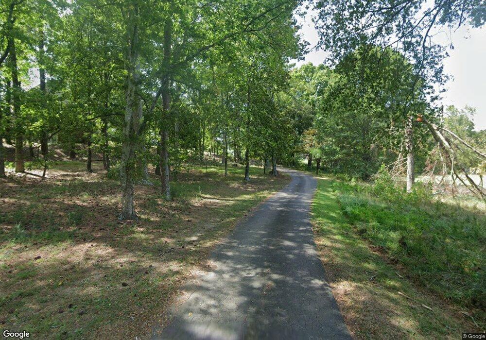
315 Cumberland Dr NE Calhoun, GA 30701
Estimated Value: $541,000 - $599,000
4
Beds
4
Baths
3,516
Sq Ft
$164/Sq Ft
Est. Value
About This Home
This home is located at 315 Cumberland Dr NE, Calhoun, GA 30701 and is currently estimated at $577,898, approximately $164 per square foot. 315 Cumberland Dr NE is a home located in Gordon County with nearby schools including Calhoun Primary School, Calhoun Elementary School, and Calhoun Middle School.
Ownership History
Date
Name
Owned For
Owner Type
Purchase Details
Closed on
Jan 6, 1994
Bought by
Potts Ronald Bruce and Potts Karen T
Current Estimated Value
Purchase Details
Closed on
Jan 13, 1993
Bought by
Phillips Denny Lamar
Create a Home Valuation Report for This Property
The Home Valuation Report is an in-depth analysis detailing your home's value as well as a comparison with similar homes in the area
Home Values in the Area
Average Home Value in this Area
Purchase History
| Date | Buyer | Sale Price | Title Company |
|---|---|---|---|
| Potts Ronald Bruce | $14,500 | -- | |
| Phillips Denny Lamar | -- | -- |
Source: Public Records
Tax History Compared to Growth
Tax History
| Year | Tax Paid | Tax Assessment Tax Assessment Total Assessment is a certain percentage of the fair market value that is determined by local assessors to be the total taxable value of land and additions on the property. | Land | Improvement |
|---|---|---|---|---|
| 2024 | $5,931 | $211,600 | $12,600 | $199,000 |
| 2023 | $5,573 | $198,880 | $12,600 | $186,280 |
| 2022 | $1,591 | $169,160 | $12,600 | $156,560 |
| 2021 | $4,703 | $158,600 | $12,600 | $146,000 |
| 2020 | $4,788 | $160,200 | $12,600 | $147,600 |
| 2019 | $4,781 | $160,200 | $12,600 | $147,600 |
| 2018 | $1,425 | $149,960 | $12,600 | $137,360 |
| 2017 | $1,387 | $143,080 | $12,600 | $130,480 |
| 2016 | $1,390 | $143,080 | $12,600 | $130,480 |
| 2015 | $1,386 | $140,880 | $12,600 | $128,280 |
| 2014 | $1,339 | $137,974 | $12,600 | $125,374 |
Source: Public Records
Map
Nearby Homes
- 126 Summerfield Ln NE
- 110 Vogel St
- 129 Green Meadow Ln NE
- 102 Sycamore Ln
- 111 Sycamore Ln
- 113 Sycamore Ln
- 114 Sycamore Ln
- 116 Sycamore Ln
- 118 Sycamore Ln
- 0 Redwood St Unit 7563377
- 0 Redwood St Unit 10553706
- The Crawford Plan at Sycamore Crest
- The Benson II Plan at Sycamore Crest
- The Norwood II Plan at Sterling at the Villages
- The Piedmont Plan at Sycamore Crest
- The Caldwell Plan at Sycamore Crest
- The McGinnis Plan at Sycamore Crest
- The Bradley Plan at Sycamore Crest
- The Harrington Plan at Sycamore Crest
- 335 Cumberland Dr NE
- 293 Cumberland Dr NE
- 308 Shenandoah Dr NE
- 310 Cumberland Dr NE
- 290 Shenandoah Dr NE
- 316 Shenandoah Dr NE
- 375 Cumberland Dr NE
- 290 Cumberland Dr NE
- 360 Cumberland Dr NE
- 00-L Shenandoah Dr
- 00-R Shenandoah Dr
- 283 Cumberland Dr NE
- Lot 4 Shenandoah Dr
- 320 Shenandoah Dr NE
- 0 Cumberland Dr NE Unit 7401000
- 250 Shenandoah Dr NE
- 282 Cumberland Dr NE
- 395 Cumberland Dr NE
- 380 Cumberland Dr NE
- 305 Shenandoah Dr NE
