315 Darrell Whitley Ln Salisbury, NC 28147
Estimated Value: $401,000 - $489,000
Studio
2
Baths
2,462
Sq Ft
$182/Sq Ft
Est. Value
About This Home
This home is located at 315 Darrell Whitley Ln, Salisbury, NC 28147 and is currently estimated at $447,394, approximately $181 per square foot. 315 Darrell Whitley Ln is a home located in Rowan County with nearby schools including Mount Ulla Elementary School, West Rowan Middle School, and West Rowan High School.
Ownership History
Date
Name
Owned For
Owner Type
Purchase Details
Closed on
May 28, 2004
Sold by
Miller Curtis William and Miller Michelle Russell
Bought by
Gregory Toby and Gregory Cheryl
Current Estimated Value
Home Financials for this Owner
Home Financials are based on the most recent Mortgage that was taken out on this home.
Original Mortgage
$188,000
Outstanding Balance
$91,778
Interest Rate
5.98%
Mortgage Type
Purchase Money Mortgage
Estimated Equity
$355,616
Create a Home Valuation Report for This Property
The Home Valuation Report is an in-depth analysis detailing your home's value as well as a comparison with similar homes in the area
Purchase History
| Date | Buyer | Sale Price | Title Company |
|---|---|---|---|
| Gregory Toby | $235,000 | -- |
Source: Public Records
Mortgage History
| Date | Status | Borrower | Loan Amount |
|---|---|---|---|
| Open | Gregory Toby | $188,000 |
Source: Public Records
Tax History
| Year | Tax Paid | Tax Assessment Tax Assessment Total Assessment is a certain percentage of the fair market value that is determined by local assessors to be the total taxable value of land and additions on the property. | Land | Improvement |
|---|---|---|---|---|
| 2025 | $2,540 | $374,839 | $66,421 | $308,418 |
| 2024 | $2,540 | $374,839 | $66,421 | $308,418 |
| 2023 | $2,540 | $374,839 | $66,421 | $308,418 |
| 2022 | $2,108 | $279,176 | $56,081 | $223,095 |
| 2021 | $2,087 | $279,176 | $56,081 | $223,095 |
| 2020 | $2,087 | $279,176 | $56,081 | $223,095 |
| 2019 | $2,087 | $279,176 | $56,081 | $223,095 |
| 2018 | $1,698 | $229,082 | $56,081 | $173,001 |
| 2017 | $1,698 | $229,082 | $56,081 | $173,001 |
| 2016 | $1,698 | $229,082 | $56,081 | $173,001 |
| 2015 | $1,718 | $229,082 | $56,081 | $173,001 |
| 2014 | $1,630 | $228,022 | $56,081 | $171,941 |
Source: Public Records
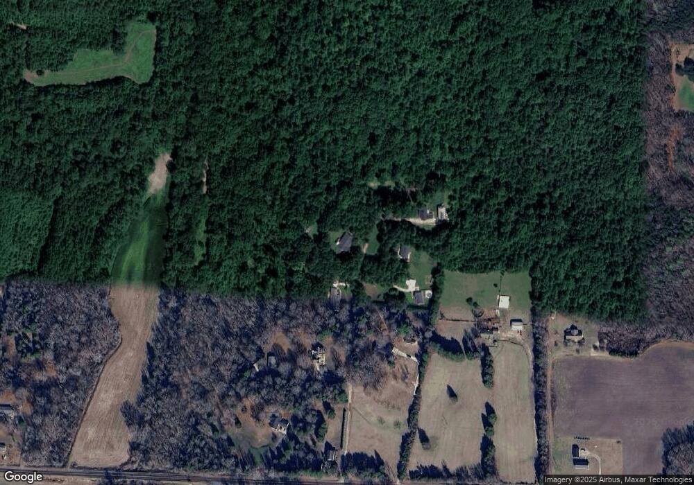
Map
Nearby Homes
- 170 Saint James Way
- 446 Blue Mountain Rd
- 452 Blue Mountain Rd
- 443 Blue Mountain Rd
- 463 Blue Mountain Rd
- 0 Yount Dr Unit CAR4321628
- 109 Beechwood Dr
- 7195 Mooresville Rd
- 1015 Coppergate Dr
- 1055 Coppergate Dr
- 250 Goldenrod Cir
- 1033 Stonegate Dr
- 185 Goldenrod Cir
- 1063 Stonegate Dr
- 1075 Stonegate Dr
- 1070 Castle Mill Ln
- 1005 Coppergate Dr
- 1115 Stonegate Dr
- 1135 Stonegate Dr
- 153 Trinity Ct
- 275 Darrell Whitley Ln
- 340 Darrell Whitley Ln
- 310 Darrell Whitley Ln
- 360 Darrell Whitley Ln
- 2440 Goodnight Rd
- 225 Darrell Whitley Ln
- 2250 Goodnight Rd
- 2540 Goodnight Rd
- 155 Darrell Whitley Ln
- 2180 Goodnight Rd
- 2435 Goodnight Rd
- 2475 Goodnight Rd
- 2275 Goodnight Rd
- 130 Lillian Cir
- 2255 Goodnight Rd
- 2728 Goodnight Rd
- 2720 Goodnight Rd
- 1105 Litaker Farm Rd
- 330 Lillian Cir
- 225 Lillian Cir
Your Personal Tour Guide
Ask me questions while you tour the home.