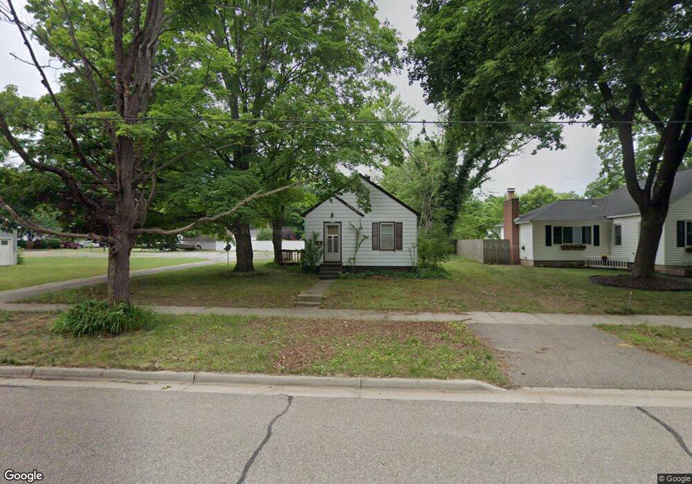
315 Davis St Allegan, MI 49010
Estimated Value: $89,000 - $178,000
--
Bed
1
Bath
600
Sq Ft
$228/Sq Ft
Est. Value
About This Home
This home is located at 315 Davis St, Allegan, MI 49010 and is currently estimated at $137,084, approximately $228 per square foot. 315 Davis St is a home located in Allegan County with nearby schools including Dawson Elementary School, L.E. White Middle School, and Allegan High School.
Ownership History
Date
Name
Owned For
Owner Type
Purchase Details
Closed on
Nov 15, 2007
Sold by
Va
Bought by
Dangremond Scott
Current Estimated Value
Purchase Details
Closed on
May 11, 2007
Sold by
Galovan Brian E
Bought by
Va
Purchase Details
Closed on
Oct 6, 2005
Sold by
Haas Thomas E
Bought by
Galovan Patrick D
Home Financials for this Owner
Home Financials are based on the most recent Mortgage that was taken out on this home.
Original Mortgage
$67,929
Interest Rate
5.88%
Mortgage Type
VA
Purchase Details
Closed on
Dec 18, 1999
Sold by
Haas Anita
Bought by
Haas Thomas Eugene
Create a Home Valuation Report for This Property
The Home Valuation Report is an in-depth analysis detailing your home's value as well as a comparison with similar homes in the area
Home Values in the Area
Average Home Value in this Area
Purchase History
| Date | Buyer | Sale Price | Title Company |
|---|---|---|---|
| Dangremond Scott | -- | Sun Title Agency | |
| Va | -- | None Available | |
| Galovan Patrick D | $63,500 | Chicago Title | |
| Haas Thomas Eugene | -- | -- |
Source: Public Records
Mortgage History
| Date | Status | Borrower | Loan Amount |
|---|---|---|---|
| Previous Owner | Galovan Patrick D | $67,929 |
Source: Public Records
Tax History Compared to Growth
Tax History
| Year | Tax Paid | Tax Assessment Tax Assessment Total Assessment is a certain percentage of the fair market value that is determined by local assessors to be the total taxable value of land and additions on the property. | Land | Improvement |
|---|---|---|---|---|
| 2025 | $1,028 | $41,300 | $10,100 | $31,200 |
| 2024 | $935 | $28,800 | $9,700 | $19,100 |
| 2023 | $966 | $25,200 | $9,100 | $16,100 |
| 2022 | $935 | $21,300 | $7,700 | $13,600 |
| 2021 | $897 | $19,300 | $6,100 | $13,200 |
| 2020 | $884 | $21,900 | $5,100 | $16,800 |
| 2019 | $864 | $18,300 | $3,600 | $14,700 |
| 2018 | $830 | $17,500 | $3,600 | $13,900 |
| 2017 | $0 | $16,000 | $3,100 | $12,900 |
| 2016 | $0 | $13,100 | $2,800 | $10,300 |
| 2015 | -- | $13,100 | $2,800 | $10,300 |
| 2014 | -- | $13,400 | $2,800 | $10,600 |
| 2013 | $863 | $13,800 | $2,800 | $11,000 |
Source: Public Records
Map
Nearby Homes
- 319 Davis St
- 210 Russell St
- 206 Russell St
- 117 Robinson St
- 327 Davis St
- 119 Robinson St
- 0 Williams Bridge Rd
- 218 Russell St
- 121 Robinson St
- 220 Russell St
- 207 Russell St
- 24 Williams Bridge Rd
- 1 Williams Ln
- 127 Robinson St
- 222 Russell St
- 210 Western Ave
- 417 Davis St
- 224 Russell St
- 200 Western Ave
- 204 Western Ave