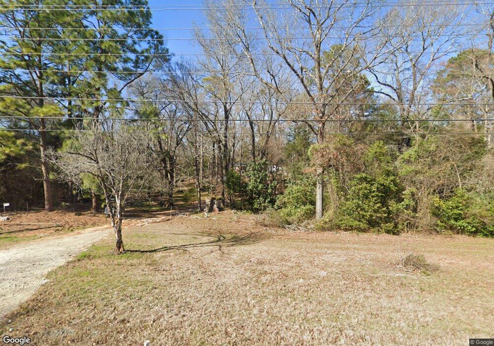
315 Dunbar Rd Warner Robins, GA 31093
Estimated Value: $130,561 - $272,000
--
Bed
1
Bath
1,868
Sq Ft
$104/Sq Ft
Est. Value
About This Home
This home is located at 315 Dunbar Rd, Warner Robins, GA 31093 and is currently estimated at $193,390, approximately $103 per square foot. 315 Dunbar Rd is a home located in Houston County with nearby schools including Northside Elementary School, Northside Middle School, and Northside High School.
Ownership History
Date
Name
Owned For
Owner Type
Purchase Details
Closed on
Apr 21, 2017
Sold by
Story Todd Anthony
Bought by
Larsen Cherie Lynn Patton
Current Estimated Value
Purchase Details
Closed on
Sep 15, 1989
Sold by
Hammock Gail and Thoney Angela
Bought by
Patton Freddie Etal
Purchase Details
Closed on
Sep 1, 1989
Sold by
Patton Junior Estate
Bought by
Hammock Gail and Thoney Angela
Purchase Details
Closed on
Feb 9, 1960
Bought by
Patton Junior Estate
Create a Home Valuation Report for This Property
The Home Valuation Report is an in-depth analysis detailing your home's value as well as a comparison with similar homes in the area
Home Values in the Area
Average Home Value in this Area
Purchase History
| Date | Buyer | Sale Price | Title Company |
|---|---|---|---|
| Larsen Cherie Lynn Patton | -- | -- | |
| Patton Freddie Etal | -- | -- | |
| Hammock Gail | -- | -- | |
| Hammock Gail | -- | -- | |
| Patton Junior Estate | -- | -- |
Source: Public Records
Tax History Compared to Growth
Tax History
| Year | Tax Paid | Tax Assessment Tax Assessment Total Assessment is a certain percentage of the fair market value that is determined by local assessors to be the total taxable value of land and additions on the property. | Land | Improvement |
|---|---|---|---|---|
| 2024 | $693 | $30,960 | $12,240 | $18,720 |
| 2023 | $542 | $24,440 | $8,800 | $15,640 |
| 2022 | $493 | $22,400 | $8,800 | $13,600 |
| 2021 | $440 | $20,120 | $8,800 | $11,320 |
| 2020 | $380 | $17,560 | $8,800 | $8,760 |
| 2019 | $380 | $17,560 | $8,800 | $8,760 |
| 2018 | $380 | $17,560 | $8,800 | $8,760 |
| 2017 | $380 | $17,560 | $8,800 | $8,760 |
| 2016 | $381 | $17,560 | $8,800 | $8,760 |
| 2015 | $573 | $25,360 | $10,080 | $15,280 |
| 2014 | -- | $25,360 | $10,080 | $15,280 |
| 2013 | -- | $26,240 | $10,080 | $16,160 |
Source: Public Records
Map
Nearby Homes
- 113 Eastlake Dr
- 113 Northwind Ct
- 104 Hughes Dr
- 108 Emerald Ct
- 303 Wake Forest Dr
- 312 Wake Forest Dr
- 213 Fairgrounds Blvd
- 109 Haag Dr
- 107 Briarwood Dr
- V L Plantation Rd
- 60 Tiffany Ln
- 201 Inglewood Dr
- 119 Keith Dr
- 0 Plantation Rd
- 124 Flanders Dr
- 94 Tiffany Ln
- 334 Wisconsin Ave
- 317 Emory Dr
- 709 Meadowridge Dr
- 227 Madrid St
