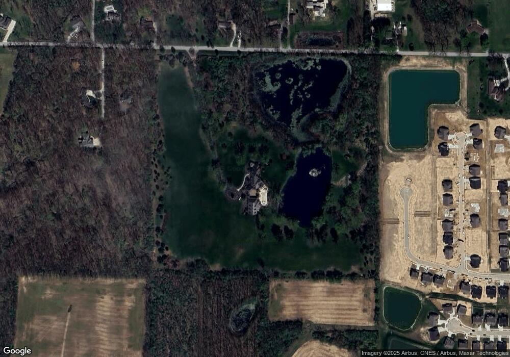
315 E 650 N West Lafayette, IN 47906
Estimated Value: $1,702,000 - $2,113,979
--
Bed
1
Bath
9,960
Sq Ft
$192/Sq Ft
Est. Value
About This Home
This home is located at 315 E 650 N, West Lafayette, IN 47906 and is currently estimated at $1,907,990, approximately $191 per square foot. 315 E 650 N is a home located in Tippecanoe County with nearby schools including Battle Ground Elementary School, Battle Ground Middle School, and William Henry Harrison High School.
Ownership History
Date
Name
Owned For
Owner Type
Purchase Details
Closed on
Nov 3, 2006
Sold by
Knote John A and Knote Janice E
Bought by
Holden Mark A and Holden Deborah K
Current Estimated Value
Create a Home Valuation Report for This Property
The Home Valuation Report is an in-depth analysis detailing your home's value as well as a comparison with similar homes in the area
Home Values in the Area
Average Home Value in this Area
Purchase History
| Date | Buyer | Sale Price | Title Company |
|---|---|---|---|
| Holden Mark A | -- | None Available |
Source: Public Records
Tax History Compared to Growth
Tax History
| Year | Tax Paid | Tax Assessment Tax Assessment Total Assessment is a certain percentage of the fair market value that is determined by local assessors to be the total taxable value of land and additions on the property. | Land | Improvement |
|---|---|---|---|---|
| 2024 | $24,317 | $2,588,900 | $153,400 | $2,435,500 |
| 2023 | $23,686 | $2,465,800 | $153,400 | $2,312,400 |
| 2022 | $22,830 | $2,192,700 | $153,400 | $2,039,300 |
| 2021 | $23,006 | $2,192,700 | $153,400 | $2,039,300 |
| 2020 | $21,422 | $2,127,600 | $153,400 | $1,974,200 |
| 2019 | $21,529 | $2,148,400 | $153,400 | $1,995,000 |
| 2018 | $21,374 | $2,175,500 | $153,400 | $2,022,100 |
| 2017 | $21,420 | $2,160,500 | $153,400 | $2,007,100 |
| 2016 | $21,491 | $2,186,400 | $153,400 | $2,033,000 |
| 2014 | $21,150 | $2,172,700 | $153,400 | $2,019,300 |
| 2013 | $21,984 | $2,153,900 | $137,500 | $2,016,400 |
Source: Public Records
Map
Nearby Homes
- Lincoln Plan at The Preserve
- Van Buren Plan at The Preserve
- Jefferson Plan at The Preserve
- Harrison Plan at The Preserve
- Reagan Plan at The Preserve
- Taylor Plan at The Preserve
- Arthur Plan at The Preserve
- Eisenhower Plan at The Preserve
- Monroe Plan at The Preserve
- 6519 Ironclad Way
- Promenade Plan at The Courtyards at Belle Terra
- Capri Plan at The Courtyards at Belle Terra
- Palazzo Plan at The Courtyards at Belle Terra
- Verona Plan at The Courtyards at Belle Terra
- Portico Plan at The Courtyards at Belle Terra
- Torino Plan at The Courtyards at Belle Terra
- 6100 Gilwell Dr
- 6101 Gilwell Dr
- 631 Tamarind Dr
- 641 Tamarind Dr