Estimated Value: $293,000 - $699,221
2
Beds
2
Baths
1,600
Sq Ft
$310/Sq Ft
Est. Value
About This Home
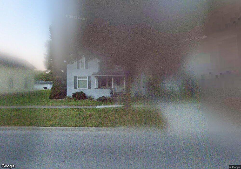
This home is located at 315 E State Road 8, Knox, IN 46534 and is currently estimated at $496,111, approximately $310 per square foot. 315 E State Road 8 is a home located in Starke County with nearby schools including Knox Community Elementary School, Knox Community Middle School, and Knox Community High School.
Ownership History
Date
Name
Owned For
Owner Type
Purchase Details
Closed on
Jan 10, 2018
Sold by
Gumz Daniel E and Gumz Mary S
Bought by
State Of Indiana
Current Estimated Value
Purchase Details
Closed on
Jan 12, 2016
Sold by
Gumz Daniel E
Bought by
Gumz Daniel E and Gumz Mary S
Purchase Details
Closed on
Jul 28, 2011
Sold by
Gumz Jerome R and Gumz Cherry M
Bought by
Gumz Jerome R and Gumz Cherry M
Purchase Details
Closed on
Apr 1, 2008
Sold by
Gumz Jerome R
Bought by
Gumz Jerome R and Gumz Cherry M
Purchase Details
Closed on
Feb 21, 2000
Sold by
Gumz Jerome R and Gumz Cherry M
Bought by
Gumz Jerome R
Create a Home Valuation Report for This Property
The Home Valuation Report is an in-depth analysis detailing your home's value as well as a comparison with similar homes in the area
Purchase History
| Date | Buyer | Sale Price | Title Company |
|---|---|---|---|
| State Of Indiana | $1,050 | None Available | |
| Gumz Daniel E | -- | None Available | |
| Gumz Jerome R | -- | -- | |
| Gumz Daniel E | -- | None Available | |
| Gumz Jerome R | -- | None Available | |
| Gumz Jerome R | -- | None Available |
Source: Public Records
Tax History
| Year | Tax Paid | Tax Assessment Tax Assessment Total Assessment is a certain percentage of the fair market value that is determined by local assessors to be the total taxable value of land and additions on the property. | Land | Improvement |
|---|---|---|---|---|
| 2025 | $10,365 | $677,500 | $600,800 | $76,700 |
| 2024 | $10,365 | $713,700 | $643,700 | $70,000 |
| 2023 | $9,798 | $600,500 | $537,700 | $62,800 |
| 2022 | $7,599 | $481,600 | $427,000 | $54,600 |
| 2021 | $7,306 | $415,700 | $370,000 | $45,700 |
| 2020 | $8,295 | $407,200 | $367,100 | $40,100 |
| 2019 | $9,549 | $480,800 | $443,500 | $37,300 |
| 2018 | $9,599 | $493,300 | $457,200 | $36,100 |
| 2017 | $10,498 | $556,700 | $522,900 | $33,800 |
| 2016 | $11,398 | $594,600 | $552,700 | $41,900 |
| 2014 | $11,213 | $619,900 | $578,200 | $41,700 |
| 2013 | $9,450 | $539,800 | $498,400 | $41,400 |
Source: Public Records
Map
Nearby Homes
- 4170 E 250 N
- 18351 S Sr 39
- 18097 S Sr 39
- 2022 W 1800 S
- 1301 W Culver Rd
- 2075 E 200 S
- 1892 W 200 S
- 207 W Lake St
- 203 W Lake St
- 305 W New York St
- 14.89 Acres W Culver Rd
- 105 S Bower St
- 154 W New York St
- 903 S Portland St
- 2 N Pearl St
- 302 S Main St
- 1309 S Roosevelt Rd
- 701 S Shield St
- 703 S Main St
- 4152 S State Road 35
Your Personal Tour Guide
Ask me questions while you tour the home.