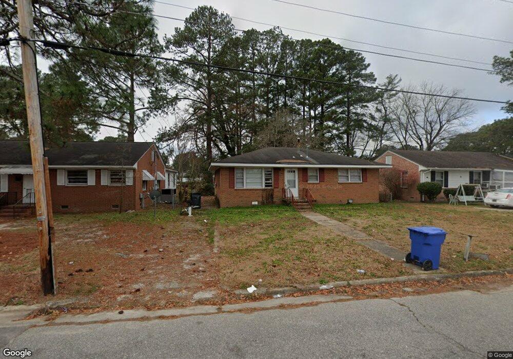
315 Forrest Rd W Wilson, NC 27893
Estimated Value: $162,000 - $196,000
3
Beds
2
Baths
1,688
Sq Ft
$107/Sq Ft
Est. Value
About This Home
This home is located at 315 Forrest Rd W, Wilson, NC 27893 and is currently estimated at $181,296, approximately $107 per square foot. 315 Forrest Rd W is a home located in Wilson County with nearby schools including Margaret Hearne Elementary School, James Hunt High School, and Forest Hills Middle School.
Ownership History
Date
Name
Owned For
Owner Type
Purchase Details
Closed on
Sep 19, 2019
Sold by
Etheridge James E and Etheridge Collen F
Bought by
Affordable Compounding Properties Llc
Current Estimated Value
Purchase Details
Closed on
Apr 21, 2009
Sold by
The Bank Of New York Mellon
Bought by
Etheridge James E
Home Financials for this Owner
Home Financials are based on the most recent Mortgage that was taken out on this home.
Original Mortgage
$40,150
Interest Rate
4.79%
Mortgage Type
Future Advance Clause Open End Mortgage
Create a Home Valuation Report for This Property
The Home Valuation Report is an in-depth analysis detailing your home's value as well as a comparison with similar homes in the area
Home Values in the Area
Average Home Value in this Area
Purchase History
| Date | Buyer | Sale Price | Title Company |
|---|---|---|---|
| Affordable Compounding Properties Llc | -- | None Available | |
| Etheridge James E | $37,000 | None Available |
Source: Public Records
Mortgage History
| Date | Status | Borrower | Loan Amount |
|---|---|---|---|
| Previous Owner | Etheridge James E | $40,150 |
Source: Public Records
Tax History
| Year | Tax Paid | Tax Assessment Tax Assessment Total Assessment is a certain percentage of the fair market value that is determined by local assessors to be the total taxable value of land and additions on the property. | Land | Improvement |
|---|---|---|---|---|
| 2025 | $1,343 | $119,875 | $15,000 | $104,875 |
| 2024 | $1,343 | $119,875 | $15,000 | $104,875 |
| 2023 | $1,069 | $81,932 | $15,000 | $66,932 |
| 2022 | $1,069 | $81,932 | $15,000 | $66,932 |
| 2021 | $1,069 | $81,932 | $15,000 | $66,932 |
| 2020 | $1,069 | $81,932 | $15,000 | $66,932 |
| 2019 | $1,069 | $81,932 | $15,000 | $66,932 |
| 2018 | $1,069 | $81,932 | $15,000 | $66,932 |
| 2017 | $1,053 | $81,932 | $15,000 | $66,932 |
| 2016 | $1,053 | $81,932 | $15,000 | $66,932 |
| 2014 | $1,251 | $100,456 | $15,000 | $85,456 |
Source: Public Records
Map
Nearby Homes
- 322 Jefferson St W
- 5024 Anthony St W
- 716 Tarboro St W
- 108 Denby St SW
- 5824 U S 264 Alternate E
- 208 Fairview Ave SW
- 211 Fairview Ave SW
- 1009 Walnut St W
- 713 Trinity Dr W Unit 63&66
- 708 Raleigh Road Pkwy W
- 310 Atlantic Christian College Dr W
- 1509 Sauls St SW
- 700 Kenan St W
- 1709 Westwood Ave W
- 207 Bruton St W
- 1710 Centre St W
- 209 Daniel St W
- 703 Broad St W
- 219 Broad St W
- 1213 Buxton Rd NW
- 313 Forrest Rd W
- 317 Forrest Rd W
- 311 Forrest Rd W
- 1003 Third St W
- 316 Jefferson St W
- 309 Forrest Rd W
- 314 Jefferson St W
- 312 Forrest Rd W
- 315 Gabriel''S Landing
- 320 Jefferson St W
- 310 Forrest Rd W
- 312 Jefferson St W
- 307 Forrest Rd W
- 310 Jefferson St W
- 1000 Third St W
- 305 Forrest Rd W
- 307 Gabriel''S Landing
- 308 Forrest Rd W
- 1002 Third St W
- 317 Jefferson St W
Your Personal Tour Guide
Ask me questions while you tour the home.