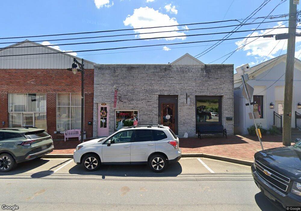
315 Gilmer Ferry Rd Ball Ground, GA 30107
Estimated Value: $497,226
--
Bed
1
Bath
1,400
Sq Ft
$355/Sq Ft
Est. Value
About This Home
This home is located at 315 Gilmer Ferry Rd, Ball Ground, GA 30107 and is currently estimated at $497,226, approximately $355 per square foot. 315 Gilmer Ferry Rd is a home located in Cherokee County with nearby schools including Ball Ground Elementary School, Creekland Middle School, and Creekview High School.
Ownership History
Date
Name
Owned For
Owner Type
Purchase Details
Closed on
Nov 18, 2015
Sold by
Staurolite Minerals & Mines Llc
Bought by
Dream Outside The Box Inc
Current Estimated Value
Purchase Details
Closed on
Jul 29, 2010
Sold by
Wilmarth Dev Llc
Bought by
Foster Cynthia and Pollard Charles
Purchase Details
Closed on
Jan 2, 2009
Sold by
Wilmarth Eric and Wilmarth Shena
Bought by
Wilmarth Dev Llc
Purchase Details
Closed on
Jun 12, 2008
Sold by
Prather Janice R
Bought by
Staurolite Minerals & Mines Ll
Purchase Details
Closed on
Mar 21, 2008
Sold by
Robertson Oscar
Bought by
Prather Janice R and Thomas Judy
Create a Home Valuation Report for This Property
The Home Valuation Report is an in-depth analysis detailing your home's value as well as a comparison with similar homes in the area
Home Values in the Area
Average Home Value in this Area
Purchase History
| Date | Buyer | Sale Price | Title Company |
|---|---|---|---|
| Dream Outside The Box Inc | $220,000 | -- | |
| Foster Cynthia | $86,900 | -- | |
| Wilmarth Dev Llc | -- | -- | |
| Wilmarth Eric | $25,000 | -- | |
| Staurolite Minerals & Mines Ll | -- | -- | |
| Prather Janice R | -- | -- |
Source: Public Records
Tax History Compared to Growth
Tax History
| Year | Tax Paid | Tax Assessment Tax Assessment Total Assessment is a certain percentage of the fair market value that is determined by local assessors to be the total taxable value of land and additions on the property. | Land | Improvement |
|---|---|---|---|---|
| 2024 | $3,895 | $130,160 | $66,160 | $64,000 |
| 2023 | $3,887 | $129,880 | $66,880 | $63,000 |
| 2022 | $2,321 | $76,800 | $51,960 | $24,840 |
| 2021 | $2,306 | $69,840 | $45,480 | $24,360 |
| 2020 | $2,116 | $63,320 | $45,480 | $17,840 |
| 2019 | $1,667 | $50,320 | $32,480 | $17,840 |
| 2018 | $1,673 | $49,800 | $32,480 | $17,320 |
| 2017 | $1,342 | $100,000 | $23,160 | $16,840 |
| 2016 | $1,861 | $136,700 | $38,320 | $16,360 |
| 2015 | $2,271 | $164,400 | $30,840 | $34,920 |
| 2014 | $2,253 | $161,700 | $30,840 | $33,840 |
Source: Public Records
Map
Nearby Homes
- 85 Tatum Cir
- 170 Summit Cir
- The Stratford Plan at The Heritage at Farmer's Crossing
- The Arlington Plan at The Heritage at Farmer's Crossing
- 533 Groover St
- 537 Groover St
- 553 Groover St
- 3174 Georgia 372
- 213 Brogans Bluff
- 125 Stripling St
- 286 Lowry St
- 201 Summit Cir
- 326 Reese Way
- 255 Lowry St
- 239 Northridge Rd
- The Dillard Plan at Malone’s Pond
- The Evans Plan at Malone’s Pond
- The Vinings Plan at Malone’s Pond
- The Brooks Plan at Malone’s Pond
- The Bainbridge Plan at Malone’s Pond
- 2 Valley St
- 310 Gilmer Ferry Rd
- 320 Gilmer Ferry Rd
- 342 Gilmer Ferry Rd
- 180 Chestnut St
- 125 Valley St
- 120 Valley St
- 135 Valley St
- 360 Gilmer Ferry Rd
- 157 Old Dawsonville Rd
- 275 Groover St
- 145 Valley St
- 150 Mound St
- 0 Mound St Unit 3260659
- 290 Groover St
- 370 Gilmer Ferry Rd
- 217 Chestnut St
- 245 Groover St
- 240 Gilmer Ferry Rd Unit HWY 372
- 240 Gilmer Ferry Rd
