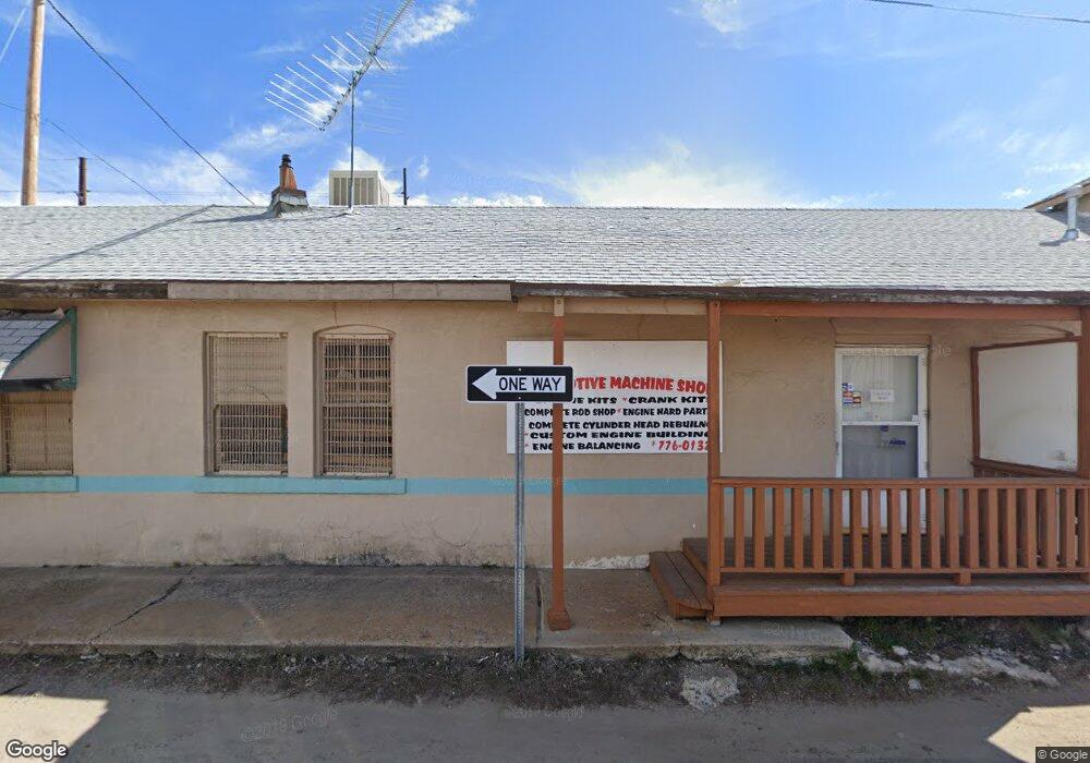
315 Henry St Prescott, AZ 86301
Estimated Value: $268,148
Studio
1
Bath
4,920
Sq Ft
$55/Sq Ft
Est. Value
About This Home
This home is located at 315 Henry St, Prescott, AZ 86301 and is currently estimated at $268,148, approximately $54 per square foot. 315 Henry St is a home located in Yavapai County with nearby schools including Lincoln Elementary School, Granite Mountain Middle School, and Prescott Mile High Middle School.
Ownership History
Date
Name
Owned For
Owner Type
Purchase Details
Closed on
May 10, 2023
Sold by
Gerald F Cuda And Mary V Cuda Revocable
Bought by
Ath Investments Llc
Current Estimated Value
Home Financials for this Owner
Home Financials are based on the most recent Mortgage that was taken out on this home.
Original Mortgage
$200,000
Outstanding Balance
$194,326
Interest Rate
6.28%
Mortgage Type
New Conventional
Estimated Equity
$73,822
Purchase Details
Closed on
Feb 28, 1997
Sold by
Akamai Ltd and Hoffman Donald
Bought by
Turbyfill David L and Turbyfill Colleen
Purchase Details
Closed on
Feb 24, 1997
Sold by
Palmer David
Bought by
Hoffman Donald and Hoffman Dayle
Purchase Details
Closed on
Mar 24, 1996
Sold by
Cuda Gerald F and Cuda Mary V
Bought by
Cuda Gerald F and Cuda Mary
Create a Home Valuation Report for This Property
The Home Valuation Report is an in-depth analysis detailing your home's value as well as a comparison with similar homes in the area
Purchase History
| Date | Buyer | Sale Price | Title Company |
|---|---|---|---|
| Ath Investments Llc | $260,000 | Yavapai Title | |
| Turbyfill David L | $72,112 | Yavapai Coconino Title Agenc | |
| Hoffman Donald | -- | Yavapai Coconino Title Agenc | |
| Cuda Gerald F | -- | -- |
Source: Public Records
Mortgage History
| Date | Status | Borrower | Loan Amount |
|---|---|---|---|
| Open | Ath Investments Llc | $200,000 |
Source: Public Records
Tax History
| Year | Tax Paid | Tax Assessment Tax Assessment Total Assessment is a certain percentage of the fair market value that is determined by local assessors to be the total taxable value of land and additions on the property. | Land | Improvement |
|---|---|---|---|---|
| 2026 | $2,223 | -- | -- | -- |
| 2024 | $2,244 | -- | -- | -- |
| 2023 | $2,244 | $58,991 | $18,725 | $40,266 |
| 2022 | $2,264 | $49,463 | $20,082 | $29,381 |
| 2021 | $2,428 | $49,859 | $20,082 | $29,777 |
| 2020 | $2,432 | $0 | $0 | $0 |
| 2019 | $2,401 | $0 | $0 | $0 |
| 2018 | $2,316 | $0 | $0 | $0 |
| 2017 | $2,209 | $0 | $0 | $0 |
| 2016 | $2,223 | $0 | $0 | $0 |
| 2015 | -- | $0 | $0 | $0 |
| 2014 | -- | $0 | $0 | $0 |
Source: Public Records
Map
Nearby Homes
- 495 E Z St
- 324 N Mount Vernon Ave
- 302 N Virginia St
- 230 N Mount Vernon Ave
- 730 4th St
- 259 & 261 Vallejo St
- 509 1st St
- 12415 State Highway 89
- 215 E Willis St
- 827 5th St Unit A
- 214 N Arizona Ave
- 128 N Mount Vernon Ave
- 614 Campbell St
- 539 Lincoln Ave
- 202 W Merritt St
- 571 Lincoln Ave
- 503 Lincoln Ave
- 105 S Alarcon St
- 130 N Rush St Unit 15
- 123 N Rush St Unit 13
Your Personal Tour Guide
Ask me questions while you tour the home.