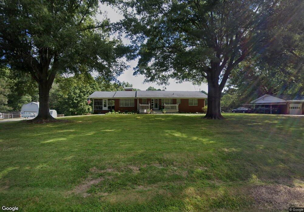
315 Hocutt Rd Durham, NC 27703
Eastern Durham NeighborhoodEstimated Value: $335,077 - $352,000
3
Beds
2
Baths
1,762
Sq Ft
$195/Sq Ft
Est. Value
About This Home
This home is located at 315 Hocutt Rd, Durham, NC 27703 and is currently estimated at $344,019, approximately $195 per square foot. 315 Hocutt Rd is a home located in Durham County with nearby schools including Oak Grove Elementary, John W Neal Middle School, and Southern School of Energy & Sustainability.
Ownership History
Date
Name
Owned For
Owner Type
Purchase Details
Closed on
Mar 9, 2012
Sold by
Burton Sherrill P and Burton Harriette M
Bought by
George Jonathan F and George Teresa H
Current Estimated Value
Home Financials for this Owner
Home Financials are based on the most recent Mortgage that was taken out on this home.
Original Mortgage
$112,000
Outstanding Balance
$77,412
Interest Rate
4%
Mortgage Type
New Conventional
Estimated Equity
$266,607
Create a Home Valuation Report for This Property
The Home Valuation Report is an in-depth analysis detailing your home's value as well as a comparison with similar homes in the area
Home Values in the Area
Average Home Value in this Area
Purchase History
| Date | Buyer | Sale Price | Title Company |
|---|---|---|---|
| George Jonathan F | $150,000 | None Available |
Source: Public Records
Mortgage History
| Date | Status | Borrower | Loan Amount |
|---|---|---|---|
| Open | George Jonathan F | $112,000 |
Source: Public Records
Tax History Compared to Growth
Tax History
| Year | Tax Paid | Tax Assessment Tax Assessment Total Assessment is a certain percentage of the fair market value that is determined by local assessors to be the total taxable value of land and additions on the property. | Land | Improvement |
|---|---|---|---|---|
| 2025 | $2,377 | $329,620 | $121,800 | $207,820 |
| 2024 | $1,913 | $179,148 | $31,537 | $147,611 |
| 2023 | $1,841 | $179,148 | $31,537 | $147,611 |
| 2022 | $1,784 | $179,148 | $31,537 | $147,611 |
| 2021 | $1,571 | $179,148 | $31,537 | $147,611 |
| 2020 | $1,535 | $179,148 | $31,537 | $147,611 |
| 2019 | $1,518 | $179,148 | $31,537 | $147,611 |
| 2018 | $1,460 | $158,198 | $22,076 | $136,122 |
| 2017 | $1,413 | $158,198 | $22,076 | $136,122 |
| 2016 | $1,369 | $158,198 | $22,076 | $136,122 |
| 2015 | $1,792 | $179,054 | $31,035 | $148,019 |
| 2014 | $1,801 | $179,054 | $31,035 | $148,019 |
Source: Public Records
Map
Nearby Homes
- 2800-2809 Napoli Dr
- 406 Robbins Rd
- 402 Robbins Rd
- 1318 Cosmic Dr
- 1013 Blackthorn Ln
- 9 Blackthorn Ln
- 124 Green Gables Way
- The Poplar Plan at Sherron Road Townes
- 11 Blackthorn Ln
- 30 Plumleaf Ln
- 1110 Blackthorn Ln
- 617 Hiddenbrook Dr
- 1110 W Wellwater Ave
- 519 Keith St
- 208 Lick Creek Ln
- 210 Stallings Rd
- 1 Thorn Brook Ct
- 2002 Cross Bones Blvd Unit 36
- 807 Outlaw Ave Unit 19
- 2011 Cross Bones Blvd Unit 41
- 311 Hocutt Rd
- 321 Hocutt Rd
- 211 Hocutt Rd
- 206 Hocutt Rd
- 202 Hocutt Rd
- 206 Hocutt Rd Unit LT 7
- 206 Hocutt Rd Unit LT 8
- 327 Hocutt Rd
- 303 Hocutt Rd
- 312 Hocutt Rd
- 308 Hocutt Rd
- 325 Hocutt Rd
- 316 Hocutt Rd
- 324 Hocutt Rd
- 302 Hocutt Rd
- 320 Hocutt Rd
- 225 Hocutt Rd
- 226 Hocutt Rd
- 402 Hocutt Rd
- 305 Robbins Rd