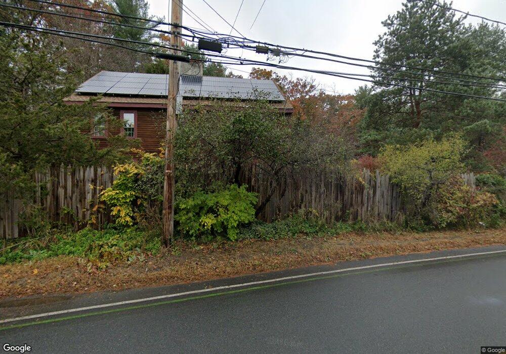
315 Linebrook Rd Ipswich, MA 01938
Estimated Value: $789,244 - $906,000
2
Beds
2
Baths
2,280
Sq Ft
$373/Sq Ft
Est. Value
About This Home
This home is located at 315 Linebrook Rd, Ipswich, MA 01938 and is currently estimated at $851,311, approximately $373 per square foot. 315 Linebrook Rd is a home located in Essex County with nearby schools including Ipswich High School, Clark School, and North Shore Montessori School.
Ownership History
Date
Name
Owned For
Owner Type
Purchase Details
Closed on
Apr 21, 2015
Sold by
Patterson Patrick and Wilkens Maria
Bought by
Pattersonwilkens Ret
Current Estimated Value
Purchase Details
Closed on
May 16, 1984
Bought by
Patterson & Wilkens Ret
Create a Home Valuation Report for This Property
The Home Valuation Report is an in-depth analysis detailing your home's value as well as a comparison with similar homes in the area
Home Values in the Area
Average Home Value in this Area
Purchase History
| Date | Buyer | Sale Price | Title Company |
|---|---|---|---|
| Pattersonwilkens Ret | -- | -- | |
| Patterson & Wilkens Ret | $38,000 | -- |
Source: Public Records
Mortgage History
| Date | Status | Borrower | Loan Amount |
|---|---|---|---|
| Previous Owner | Patterson & Wilkens Ret | $50,000 | |
| Previous Owner | Patterson & Wilkens Ret | $20,000 | |
| Previous Owner | Patterson & Wilkens Ret | $60,000 |
Source: Public Records
Tax History Compared to Growth
Tax History
| Year | Tax Paid | Tax Assessment Tax Assessment Total Assessment is a certain percentage of the fair market value that is determined by local assessors to be the total taxable value of land and additions on the property. | Land | Improvement |
|---|---|---|---|---|
| 2025 | $8,462 | $758,900 | $361,600 | $397,300 |
| 2024 | $7,953 | $698,900 | $362,500 | $336,400 |
| 2023 | $7,199 | $588,600 | $310,200 | $278,400 |
| 2022 | $6,923 | $538,300 | $292,800 | $245,500 |
| 2021 | $6,922 | $523,600 | $288,400 | $235,200 |
| 2020 | $7,184 | $512,400 | $295,000 | $217,400 |
| 2019 | $7,059 | $501,000 | $281,900 | $219,100 |
| 2018 | $6,470 | $470,600 | $266,700 | $203,900 |
| 2017 | $6,397 | $450,800 | $253,600 | $197,200 |
| 2016 | $6,112 | $411,600 | $214,400 | $197,200 |
| 2015 | $5,500 | $407,100 | $209,900 | $197,200 |
Source: Public Records
Map
Nearby Homes
- 1 Court Ln
- 75 Country Club Way
- 3 Choate Ln
- 196 Country Club Way
- 29 Charlotte Rd
- 8 Longmeadow Dr Unit 14
- 16 Cedarwood Ln
- 61 Maplecroft Ln
- 46 Buttonwood
- 30 Buttonwood
- 43 Willowdale Rd
- 37 East St
- 54 Willowdale Rd
- 47 Prospect St
- 76-78 Daniels Rd
- 4 Sheppards Way
- 19 Morphew Ln Unit 2
- 45 Pineswamp Rd
- 147 Linebrook Rd
- 4 Ruby Cir
- 319 Linebrook Rd
- 317 Linebrook Rd
- 296 Linebrook Rd
- 313 Linebrook Rd
- 313 Linebrook Rd
- 294 Linebrook Rd
- 321 Linebrook Rd
- 309 Linebrook Rd
- 323 Linebrook Rd
- 307 Linebrook Rd
- 311 Linebrook Rd
- 305 Linebrook Rd
- 2 Belle St
- 300 Linebrook Rd
- 303 Linebrook Rd
- 325 Linebrook Rd
- 6 Circle Dr
- 304 Linebrook Rd
- 1 Belle St
- 4 Belle St