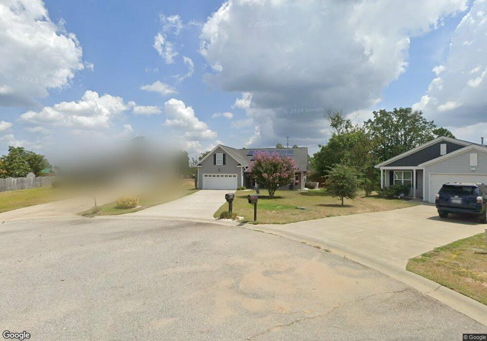
315 Logan Way Gaston, SC 29053
Estimated Value: $242,000 - $267,000
3
Beds
2
Baths
1,657
Sq Ft
$152/Sq Ft
Est. Value
About This Home
This home is located at 315 Logan Way, Gaston, SC 29053 and is currently estimated at $252,629, approximately $152 per square foot. 315 Logan Way is a home located in Lexington County with nearby schools including Congaree Elementary School, Pine Ridge Middle School, and Airport High School.
Ownership History
Date
Name
Owned For
Owner Type
Purchase Details
Closed on
Nov 30, 2021
Sold by
Leete James and Leete Betty Jo
Bought by
Prosser Edwin
Current Estimated Value
Purchase Details
Closed on
Jan 4, 2010
Sold by
Leete James
Bought by
Leete James and Leete Betty Jo
Purchase Details
Closed on
Oct 31, 2008
Sold by
Executive Construction Llc
Bought by
Leete James
Home Financials for this Owner
Home Financials are based on the most recent Mortgage that was taken out on this home.
Original Mortgage
$140,850
Interest Rate
5.78%
Mortgage Type
FHA
Create a Home Valuation Report for This Property
The Home Valuation Report is an in-depth analysis detailing your home's value as well as a comparison with similar homes in the area
Home Values in the Area
Average Home Value in this Area
Purchase History
| Date | Buyer | Sale Price | Title Company |
|---|---|---|---|
| Prosser Edwin | $213,500 | None Available | |
| Leete James | -- | -- | |
| Leete James | $142,750 | -- |
Source: Public Records
Mortgage History
| Date | Status | Borrower | Loan Amount |
|---|---|---|---|
| Previous Owner | Leete James | $140,850 |
Source: Public Records
Tax History Compared to Growth
Tax History
| Year | Tax Paid | Tax Assessment Tax Assessment Total Assessment is a certain percentage of the fair market value that is determined by local assessors to be the total taxable value of land and additions on the property. | Land | Improvement |
|---|---|---|---|---|
| 2024 | $311 | $8,540 | $900 | $7,640 |
| 2023 | $311 | $8,540 | $900 | $7,640 |
| 2020 | $72 | $5,375 | $862 | $4,513 |
| 2019 | $8 | $4,674 | $800 | $3,874 |
| 2018 | $25 | $4,674 | $800 | $3,874 |
| 2017 | $0 | $4,634 | $800 | $3,834 |
| 2016 | $260 | $4,633 | $800 | $3,833 |
| 2014 | $404 | $5,382 | $1,000 | $4,382 |
| 2013 | -- | $5,380 | $1,000 | $4,380 |
Source: Public Records
Map
Nearby Homes
- 465 Vanburen Ct
- 101 Battery Creek Dr
- 100 Battery Creek Dr
- 171 Ridge Pointe Dr
- 113 Hazel Rain Rd
- Crane Plan at Heron Pointe
- Anderson Plan at Heron Pointe
- Emerson Plan at Heron Pointe
- Shelley Plan at Heron Pointe
- Dickenson Plan at Heron Pointe
- Frost Plan at Heron Pointe
- Bishop VE Plan at Heron Pointe
- 218 Hazel Rain Rd
- 631 Blue Jay Ave
- 603 Blue Jay Ave
- 206 Par Ct
- 255 Hazel Rain Rd
- 254 Hazel Rain Rd
- 258 Hazel Rain Rd
- 270 Hazel Rain Rd
- 311 Logan Way
- 319 Logan Way
- 307 Logan Way
- 318 Logan Way
- 303 Logan Way
- 306 Logan Way
- 432 Van Buren Ct Unit 190
- 428 Van Buren Ct
- 314 Logan Way
- 302 Logan Way
- 310 Logan Way
- 438 Van Buren Ct
- 241 Freeman Dr
- 237 Freeman Dr Unit 184
- 422 Van Buren Ct
- 247 Freeman Dr Unit Lot 182
- 231 Freeman Dr
- 444 Van Buren Ct
- 144 Battery Creek Dr
- 251 Freeman Dr