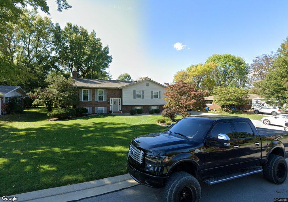
315 Louise Dr Collinsville, IL 62234
Estimated Value: $264,000 - $299,097
3
Beds
4
Baths
1,400
Sq Ft
$206/Sq Ft
Est. Value
About This Home
This home is located at 315 Louise Dr, Collinsville, IL 62234 and is currently estimated at $288,024, approximately $205 per square foot. 315 Louise Dr is a home located in Madison County with nearby schools including Maryville Elementary School, Dorris Intermediate School, and Collinsville Middle School.
Ownership History
Date
Name
Owned For
Owner Type
Purchase Details
Closed on
Sep 6, 2007
Sold by
Miller Thomas E and Miller Janice
Bought by
Stinnett Brent and Stinnett Carrie
Current Estimated Value
Home Financials for this Owner
Home Financials are based on the most recent Mortgage that was taken out on this home.
Original Mortgage
$38,000
Interest Rate
7.75%
Mortgage Type
Unknown
Create a Home Valuation Report for This Property
The Home Valuation Report is an in-depth analysis detailing your home's value as well as a comparison with similar homes in the area
Home Values in the Area
Average Home Value in this Area
Purchase History
| Date | Buyer | Sale Price | Title Company |
|---|---|---|---|
| Stinnett Brent | $190,000 | Abstracts & Titles Inc |
Source: Public Records
Mortgage History
| Date | Status | Borrower | Loan Amount |
|---|---|---|---|
| Closed | Stinnett Brent | $38,000 | |
| Open | Stinnett Brent | $152,000 |
Source: Public Records
Tax History Compared to Growth
Tax History
| Year | Tax Paid | Tax Assessment Tax Assessment Total Assessment is a certain percentage of the fair market value that is determined by local assessors to be the total taxable value of land and additions on the property. | Land | Improvement |
|---|---|---|---|---|
| 2024 | $5,322 | $93,860 | $15,810 | $78,050 |
| 2023 | $5,322 | $86,870 | $14,630 | $72,240 |
| 2022 | $5,031 | $80,330 | $13,530 | $66,800 |
| 2021 | $4,324 | $72,920 | $12,220 | $60,700 |
| 2020 | $4,152 | $69,570 | $11,660 | $57,910 |
| 2019 | $4,032 | $67,190 | $11,260 | $55,930 |
| 2018 | $3,936 | $63,650 | $10,670 | $52,980 |
| 2017 | $3,775 | $59,890 | $9,670 | $50,220 |
| 2016 | $3,996 | $59,890 | $9,670 | $50,220 |
| 2015 | $3,830 | $58,330 | $9,420 | $48,910 |
| 2014 | $3,830 | $58,330 | $9,420 | $48,910 |
| 2013 | $3,830 | $60,040 | $9,420 | $50,620 |
Source: Public Records
Map
Nearby Homes
- 130 Hilltop Place
- 201 S Lange Ave
- 137 W Zupan St
- 226 Woodridge Ct
- 419 N Donk Ave
- 131 E Country Ln
- 1005 Daniel Dr
- 7 Keiths Ct
- 1014 Daniel Dr
- 912 Oakridge Dr
- 501 Drost St
- 1029 Andra Dr
- 189 Meyer Dr
- 2033 Mapleleaf Dr
- 1831 Crimson Oak Dr
- 1844 Crimson Oak Dr
- 1819 Robin Mills Ct
- 1815 Robins Mill Ct
- 1826 Robin Mills Ct
- 1830 Robin Mills Ct
- 313 Louise Dr
- 317 Louise Dr
- 314 Bill Lou Dr
- 311 Louise Dr
- 312 Bill Lou Dr
- 319 Louise Dr
- 316 Bill Lou Dr
- 314 Louise Dr
- 316 Louise Dr
- 310 Bill Lou Dr
- 318 Louise Dr
- 312 Louise Dr
- 318 Bill Lou Dr
- 309 Louise Dr
- 321 Louise Dr
- 320 Louise Dr
- 308 Bill Lou Dr
- 310 Louise Dr
- 248 Lakeview Acres Dr
- 250 Lakeview Acres Dr