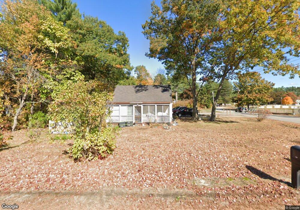
315 Main St Townsend, MA 01469
Estimated Value: $379,656 - $443,000
3
Beds
3
Baths
1,657
Sq Ft
$249/Sq Ft
Est. Value
About This Home
This home is located at 315 Main St, Townsend, MA 01469 and is currently estimated at $412,664, approximately $249 per square foot. 315 Main St is a home located in Middlesex County with nearby schools including North Middlesex Regional High School.
Create a Home Valuation Report for This Property
The Home Valuation Report is an in-depth analysis detailing your home's value as well as a comparison with similar homes in the area
Home Values in the Area
Average Home Value in this Area
Tax History
| Year | Tax Paid | Tax Assessment Tax Assessment Total Assessment is a certain percentage of the fair market value that is determined by local assessors to be the total taxable value of land and additions on the property. | Land | Improvement |
|---|---|---|---|---|
| 2025 | $4,305 | $296,500 | $88,800 | $207,700 |
| 2024 | $4,195 | $291,100 | $88,800 | $202,300 |
| 2023 | $4,204 | $275,500 | $80,800 | $194,700 |
| 2022 | $4,117 | $233,800 | $70,300 | $163,500 |
| 2021 | $6,649 | $216,400 | $69,500 | $146,900 |
| 2020 | $14,839 | $195,800 | $61,800 | $134,000 |
| 2019 | $3,659 | $189,300 | $61,800 | $127,500 |
| 2018 | $3,556 | $175,500 | $61,800 | $113,700 |
| 2017 | $3,393 | $172,500 | $65,800 | $106,700 |
| 2016 | $3,255 | $164,400 | $65,800 | $98,600 |
| 2015 | $3,124 | $163,500 | $68,600 | $94,900 |
| 2014 | $2,975 | $152,000 | $61,800 | $90,200 |
Source: Public Records
Map
Nearby Homes
- 16 Worcester Rd
- 5 Turnpike Rd Unit 213 TWO
- 1 Depot Street Extension Unit 5
- 1 Depot Street Extension Unit 2
- 1 Depot Street Extension Unit 4
- 9 Kaneohe Ct
- 86 W Elm Lunenburg Rd Blood Rd
- 0 Brookline St
- 1 W Meadow Rd
- 0 Tyler Rd Unit 72560808
- 364 Townsend Hill Rd
- 2 W Meadow Rd
- 00 Tyler Rd
- 1235 Townsend Rd
- 18 Beech St
- 7 Balsam Dr
- 481 W Townsend Rd
- 198 N End Rd
- 370 W Townsend Rd
- 12 W Townsend Rd
Your Personal Tour Guide
Ask me questions while you tour the home.