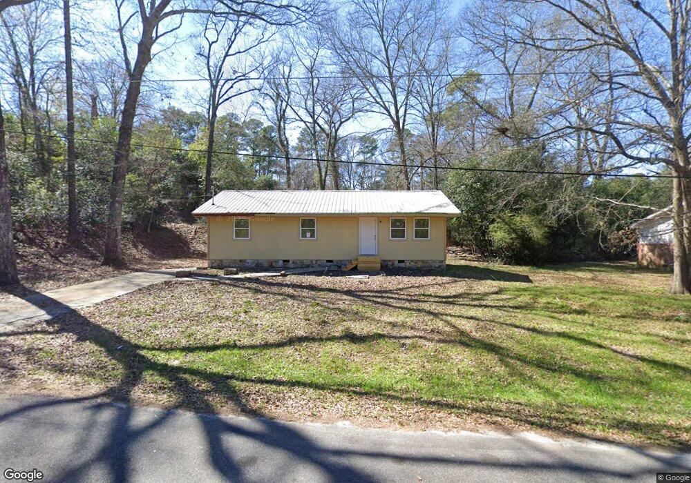
315 Mauk Cir Warner Robins, GA 31093
Estimated Value: $72,766 - $163,000
3
Beds
2
Baths
1,100
Sq Ft
$110/Sq Ft
Est. Value
About This Home
This home is located at 315 Mauk Cir, Warner Robins, GA 31093 and is currently estimated at $120,692, approximately $109 per square foot. 315 Mauk Cir is a home located in Houston County with nearby schools including Westside Elementary School, Northside Middle School, and Northside High School.
Ownership History
Date
Name
Owned For
Owner Type
Purchase Details
Closed on
Mar 22, 2019
Sold by
Weaver Charles W
Bought by
Weaver Robert A
Current Estimated Value
Purchase Details
Closed on
Jul 30, 1997
Sold by
Jo Smith O and Jo Anne*
Bought by
Miller Paula W
Purchase Details
Closed on
Mar 3, 1994
Sold by
Sisson Charles R and Bonnie P*
Bought by
Jo Smith O and Jo Anne*
Purchase Details
Closed on
Nov 1, 1982
Sold by
Pike Joseph L and Carolyn S*
Bought by
Sisson Charles R and Bonnie P*
Purchase Details
Closed on
Jun 14, 1982
Sold by
Pike David F
Bought by
Pike Joseph L and Carolyn S*
Create a Home Valuation Report for This Property
The Home Valuation Report is an in-depth analysis detailing your home's value as well as a comparison with similar homes in the area
Home Values in the Area
Average Home Value in this Area
Purchase History
| Date | Buyer | Sale Price | Title Company |
|---|---|---|---|
| Weaver Robert A | -- | None Available | |
| Weaver Charles W | -- | None Available | |
| Miller Paula W | $50,000 | -- | |
| Jo Smith O | $37,300 | -- | |
| Sisson Charles R | -- | -- | |
| Pike Joseph L | -- | -- |
Source: Public Records
Tax History
| Year | Tax Paid | Tax Assessment Tax Assessment Total Assessment is a certain percentage of the fair market value that is determined by local assessors to be the total taxable value of land and additions on the property. | Land | Improvement |
|---|---|---|---|---|
| 2025 | $166 | $7,600 | $5,560 | $2,040 |
| 2024 | $181 | $7,560 | $5,560 | $2,000 |
| 2023 | $181 | $7,480 | $5,560 | $1,920 |
| 2022 | $152 | $6,280 | $4,480 | $1,800 |
| 2021 | $546 | $22,480 | $4,480 | $18,000 |
| 2020 | $660 | $22,600 | $4,480 | $18,120 |
| 2019 | $503 | $22,600 | $4,480 | $18,120 |
| 2018 | $503 | $22,600 | $4,480 | $18,120 |
| 2017 | $503 | $22,600 | $4,480 | $18,120 |
| 2016 | $504 | $22,600 | $4,480 | $18,120 |
| 2015 | $505 | $22,600 | $4,480 | $18,120 |
| 2014 | -- | $22,600 | $4,480 | $18,120 |
| 2013 | -- | $23,120 | $5,000 | $18,120 |
Source: Public Records
Map
Nearby Homes
- 209 Knodishall Dr
- 108 Madison Ave
- 112 Holt Ave
- 103 Westcliff Cir Unit A
- 103 Westcliff Cir Unit A
- 112 Peacock Dr
- 111 Hawthorne Rd
- 301 Millside Dr
- 111 Laurel Oak Ln
- 141 Peacock Dr
- 102 Westcliff Center St Unit D
- 221 Gilchrist Dr
- 102 Hemlock St
- 102 Williams St
- 104 Heather St
- 110 Foxfire Dr
- 123 Tanglewood Dr
- 216 Ridgeland Dr
- 110 Merlin St
- 316 Meadowridge Dr
- 313 Mauk Cir
- 210 Knodishall Dr
- 208 Knodishall Dr
- 311 Mauk Cir
- 214 Knodishall Dr
- 206 Knodishall Dr
- 309 Mauk Cir
- 216 Knodishall Dr
- 213 Knodishall Dr
- 307 Mauk Cir
- 207 Knodishall Dr
- 202 Knodishall Dr
- 215 Knodishall Dr
- 218 Knodishall Dr
- 105 Mauk Cir
- 205 Knodishall Dr
- 217 Knodishall Dr
- 305 Mauk Cir
- 200 Knodishall Dr
- 220 Knodishall Dr
Your Personal Tour Guide
Ask me questions while you tour the home.